MyTopo
Classic USGS Galleta Flat West Arizona 7.5'x7.5' Topo Map
Couldn't load pickup availability
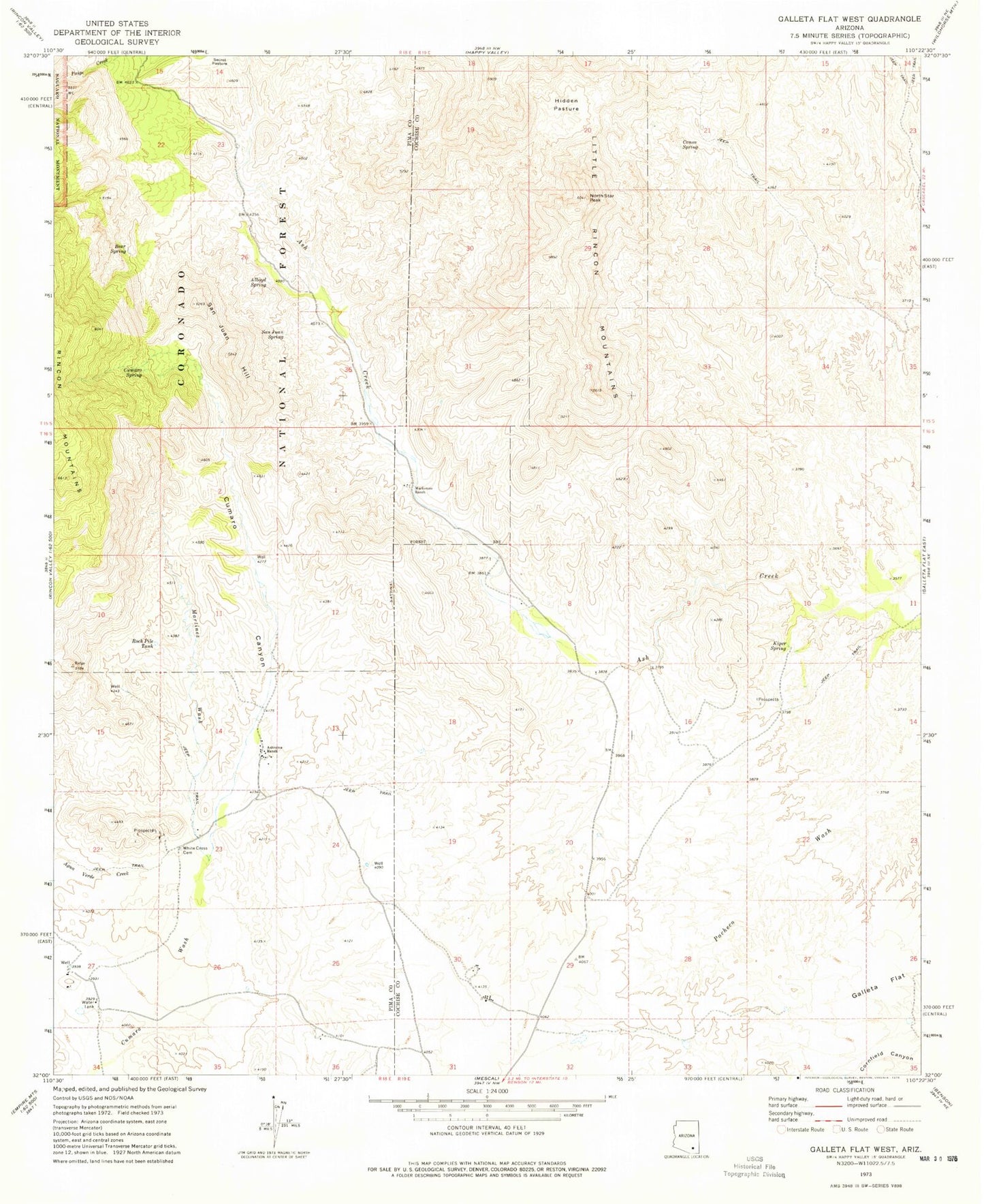
Historical USGS topographic quad map of Galleta Flat West in the state of Arizona. Map scale may vary for some years, but is generally around 1:24,000. Print size is approximately 24" x 27"
This quadrangle is in the following counties: Cochise, Pima.
The map contains contour lines, roads, rivers, towns, and lakes. Printed on high-quality waterproof paper with UV fade-resistant inks, and shipped rolled.
Contains the following named places: Alboyd Spring, Ashrama Ranch, Bear Spring, Canoa Spring, Cumaro Canyon, Cumaro Spring, East Tank, Galleta Flat, Hidden Pasture, Kiper Spring, Mackenzie Ranch, Martinez Ranch, Martinez Wash, North Star Peak, Rock Pile Tank, San Juan Hill, San Juan Spring, Stansbury Ranch, White Cross Cemetery, World University