MyTopo
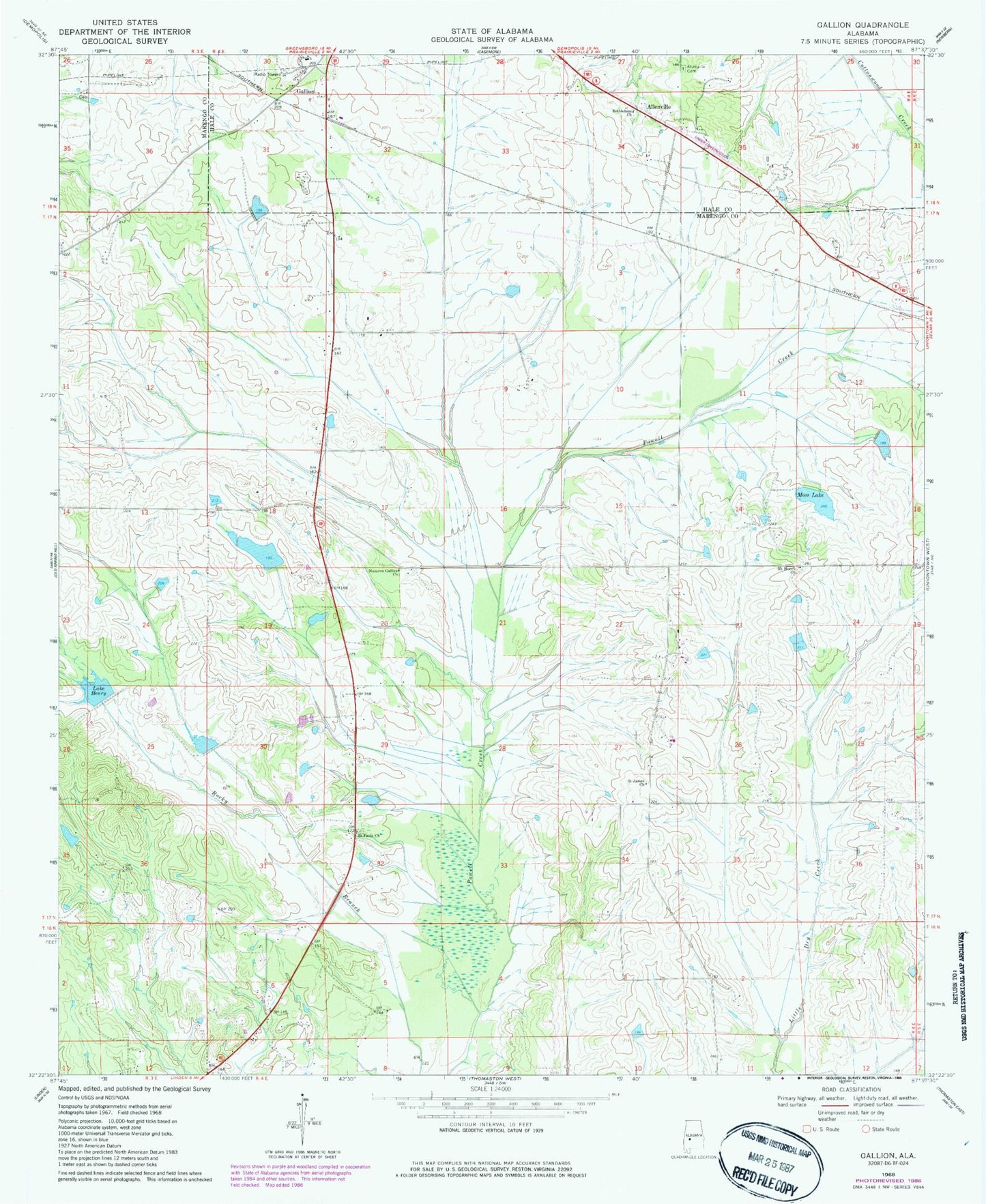
Classic USGS Gallion Alabama 7.5'x7.5' Topo Map
Couldn't load pickup availability
Historical USGS topographic quad map of Gallion in the state of Alabama. Map scale may vary for some years, but is generally around 1:24,000. Print size is approximately 24" x 27"
This quadrangle is in the following counties: Hale, Marengo.
The map contains contour lines, roads, rivers, towns, and lakes. Printed on high-quality waterproof paper with UV fade-resistant inks, and shipped rolled.
Contains the following named places: Allenville, Allenville Cemetery, Bethea Dam, Bethlehem Church, Cedarcrest Farms, Cuba Plantation, Fields Lake, Gallion, John the Baptist Cemetery, John the Baptist Church, Lake Henry, Moss Lake, Mount Horeb Church, N B Fields Lake Dam, Nazarea Galilee Church, Powell Creek Lake Number Eight, Powell Creek Number 7 Dam, Powell Creek Number 8 Dam, Saint James Church, Saint Pauls Church, Spencer Dam Number Two, Spencer Lake Two, Tombigbee, ZIP Code: 36742