MyTopo
Classic USGS Gallup Creek South Dakota 7.5'x7.5' Topo Map
Regular price
$16.95
Regular price
Sale price
$16.95
Unit price
per
Couldn't load pickup availability
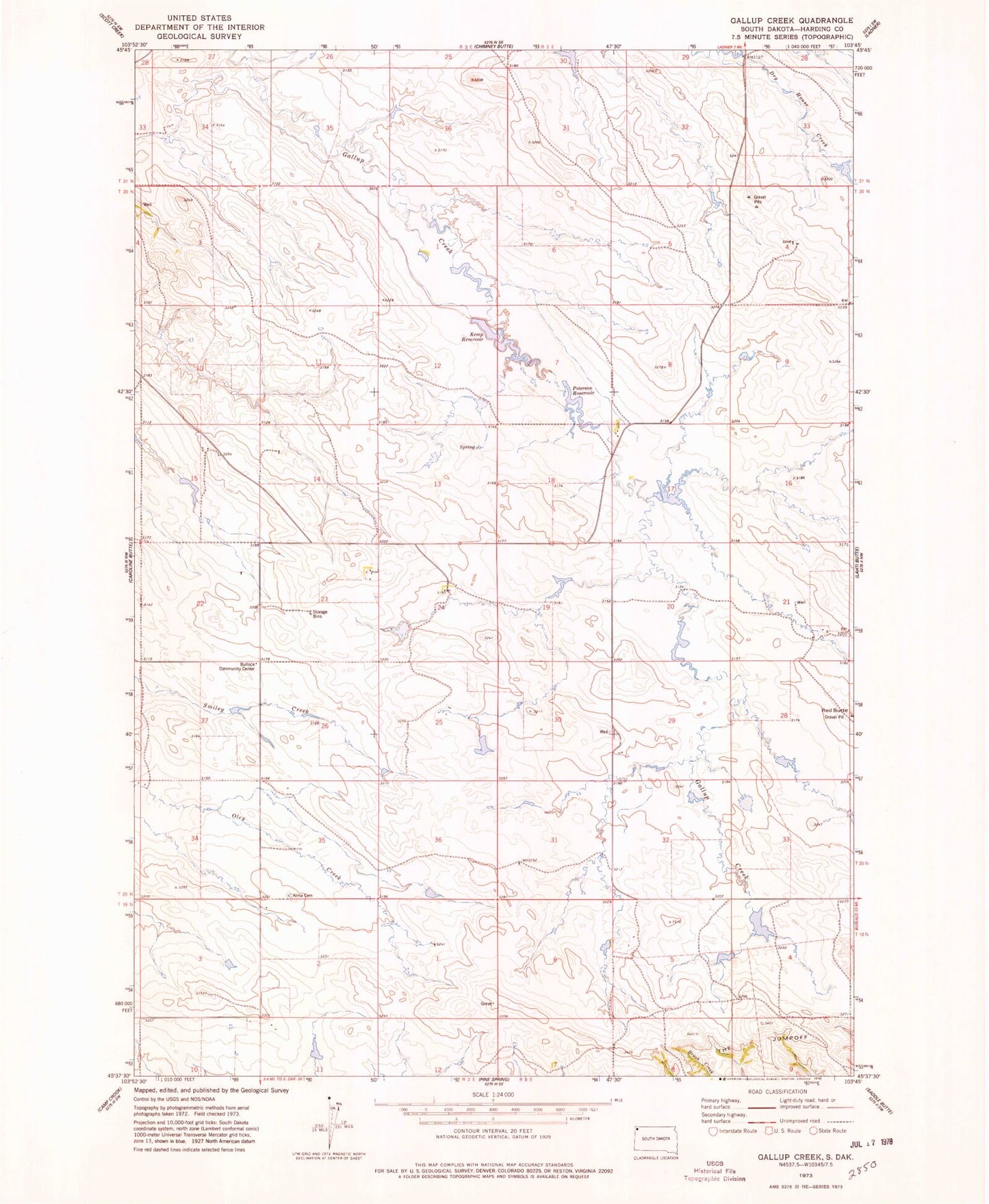
Historical USGS topographic quad map of Gallup Creek in the state of South Dakota. Map scale may vary for some years, but is generally around 1:24,000. Print size is approximately 24" x 27"
This quadrangle is in the following counties: Harding.
The map contains contour lines, roads, rivers, towns, and lakes. Printed on high-quality waterproof paper with UV fade-resistant inks, and shipped rolled.
Contains the following named places: Alma Cemetery, Bullock, Bullock Community Center, Joes Spreader Dam, Kemp Reservoir, Mallula State Game Production Area, Pauls Irrigation Dam, Peterson Reservoir, Red Butte, Township of Gallup