MyTopo
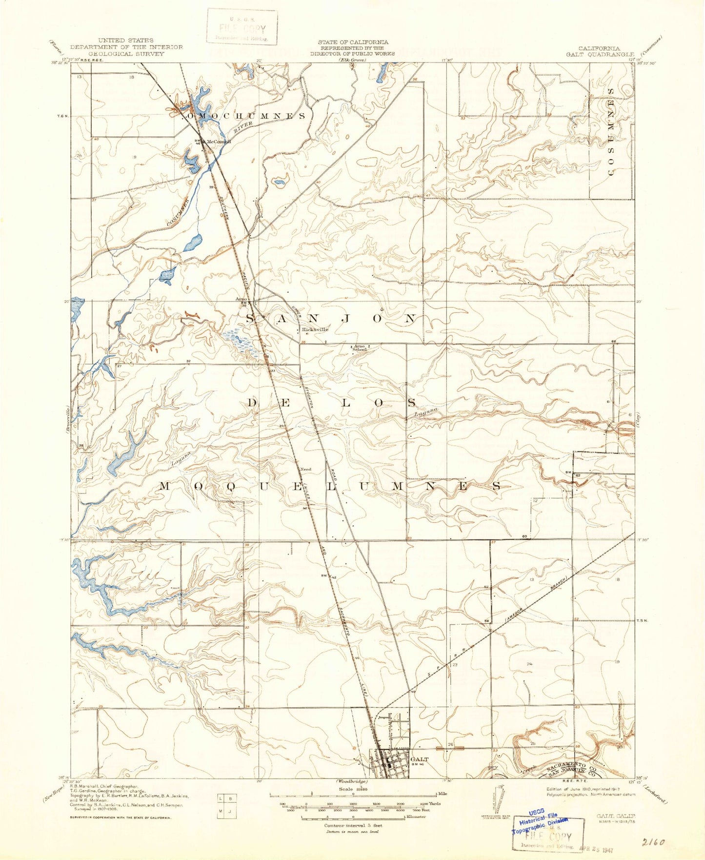
Classic USGS Galt California 7.5'x7.5' Topo Map
Couldn't load pickup availability
Historical USGS topographic quad map of Galt in the state of California. Map scale may vary for some years, but is generally around 1:24,000. Print size is approximately 24" x 27"
This quadrangle is in the following counties: Sacramento, San Joaquin.
The map contains contour lines, roads, rivers, towns, and lakes. Printed on high-quality waterproof paper with UV fade-resistant inks, and shipped rolled.
Contains the following named places: Arno, Arno School, Badger Creek, Canyon Creek Park, Chabolla Park, City of Galt, Cosumnes Community Services District Fire Department Station 45, Cosumnes Community Services District Fire Department Station 46, Cosumnes Community Services District Fire Department William Perry Schulze Fire Training Facility, Cosumnes River Overflow, Deadman Gulch, Deer Creek, Elk Grove Fire Prevention Bureau, Emerald Lakes Golf Course, Emerald Vista Park, Estrellita High School, Fairsite Elementary School, Flying R Airport, Galt, Galt Adventist Christian School, Galt City Hall, Galt High School, Galt Neighborhood Library, Galt Plaza Shopping Center, Galt Police Department, Galt Police Station, Galt Post Office, Harvey Park, Hicksville, Hicksville Cemetery, Lake Canyon Park, Marengo Ranch Elementary School, McCaffrey Middle School, McConnel, Mustang Airport, Need, North Fork Badger Creek, Oak Park, Rae House Museum, Richard A McGee Correctional Training Center, River Oaks Elementary School, Sacramento Metro Fire Station Number 45, Saint Lukes Episcopal Church, Sanjon De Los Moquelumnes, Skunk Creek, Smud Park, Stop and Shop Shopping Center, Twin Cities, Valley Christian School of Galt, Valley Oaks Elementary School, Van Warmerdam Dairy, Vernon E Greer Middle School, Willow Creek, ZIP Code: 95632


