MyTopo
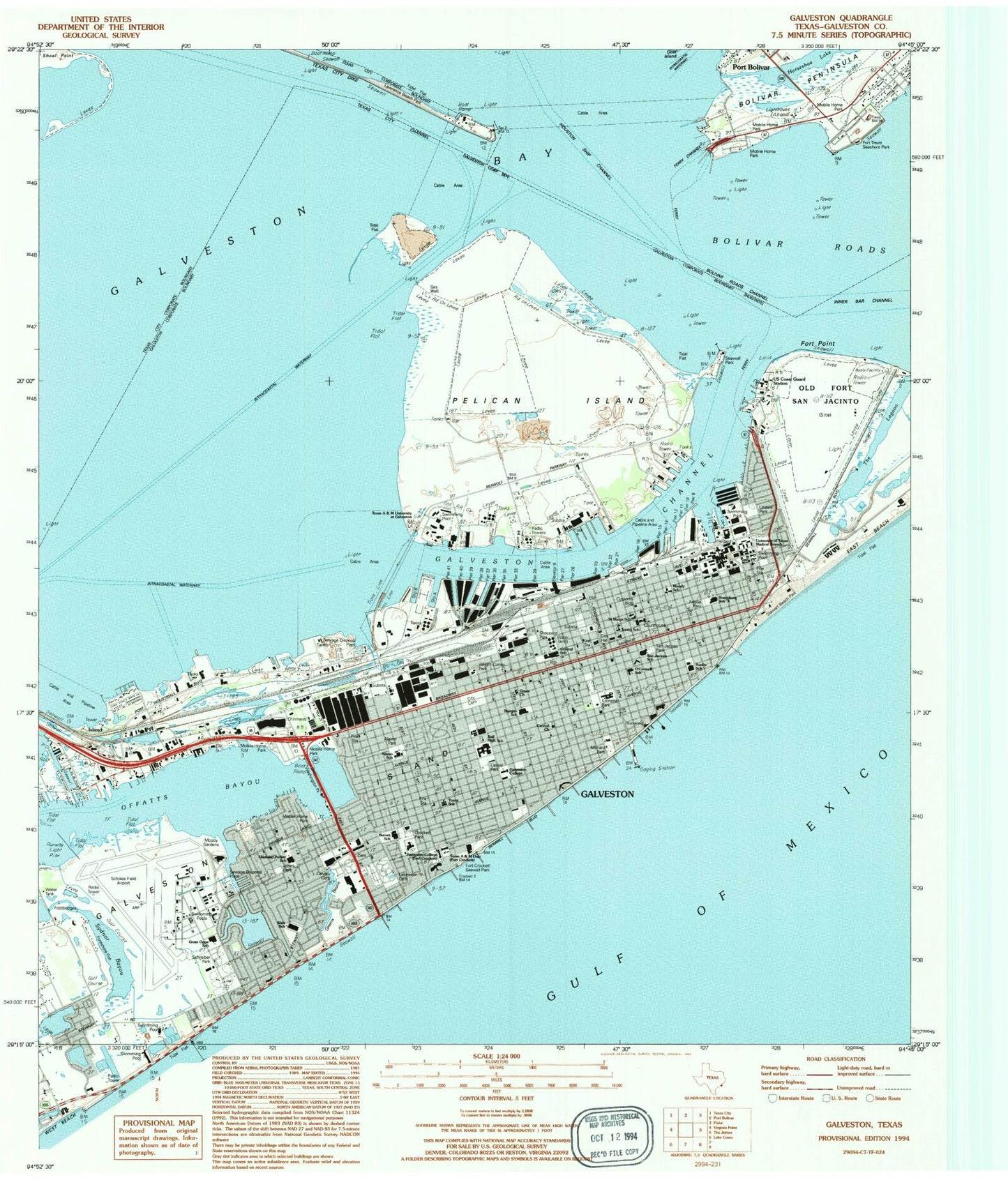
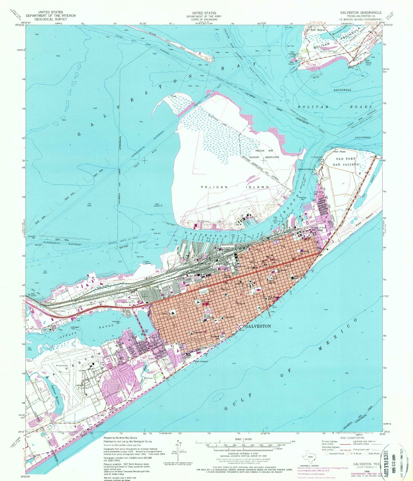
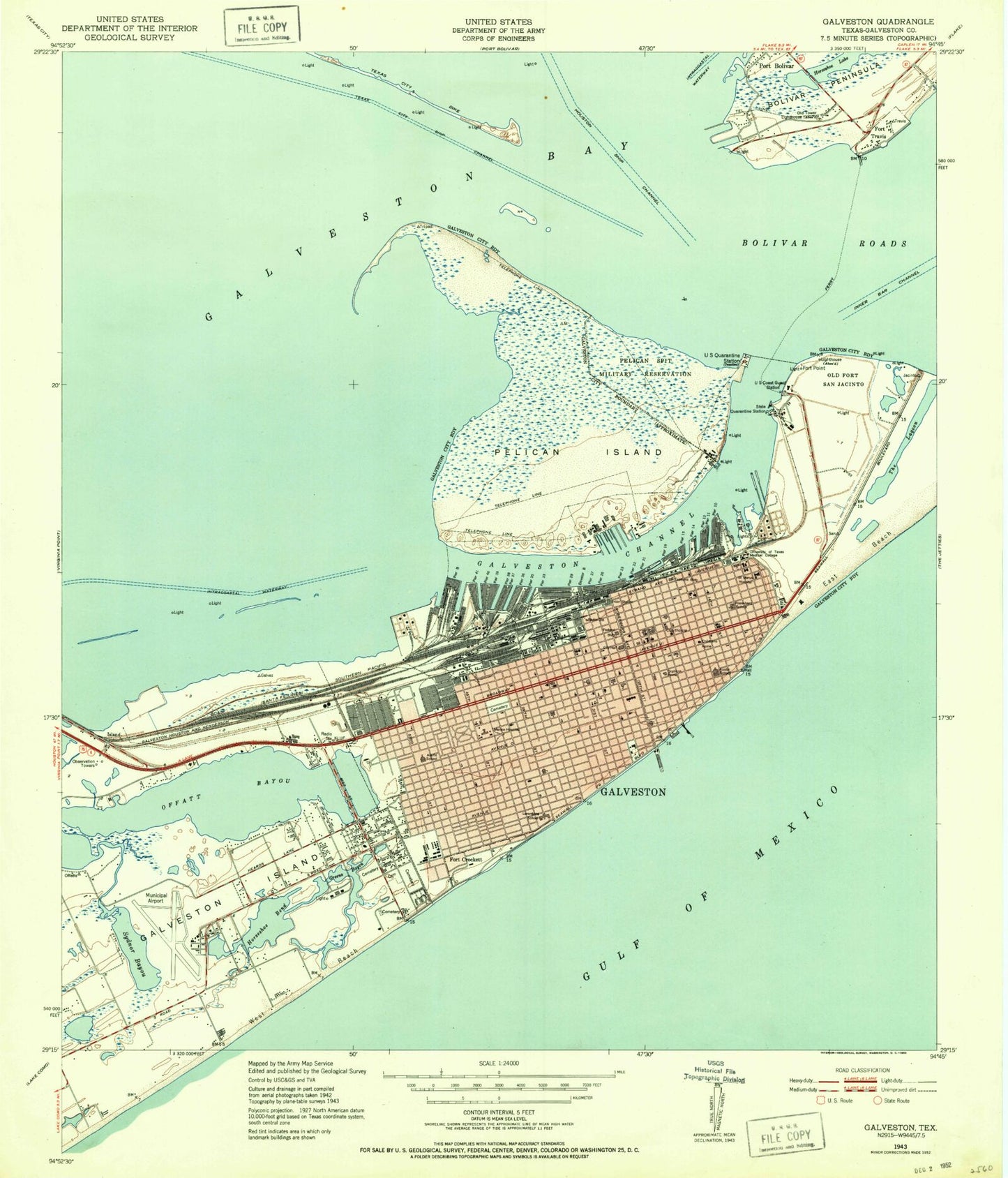
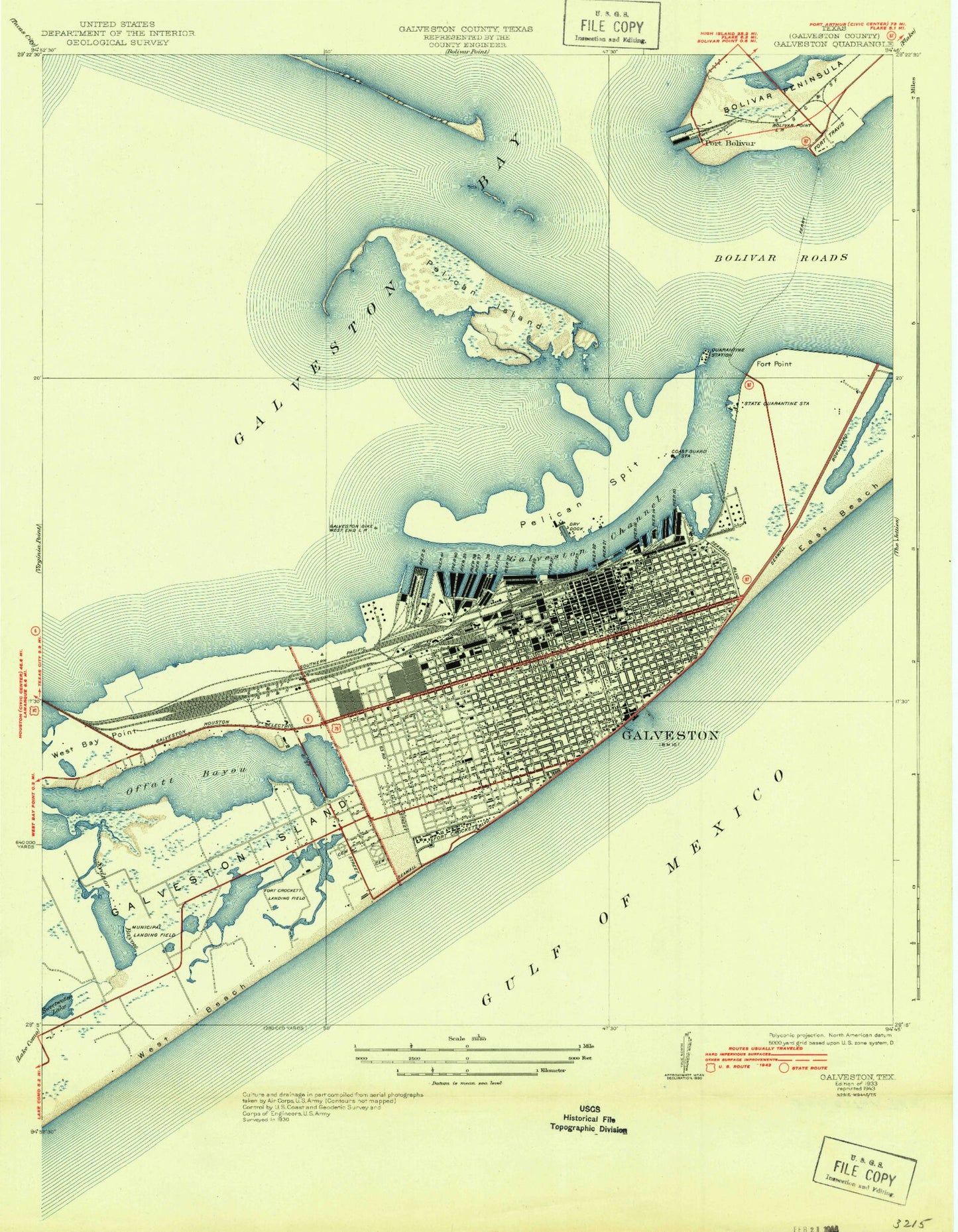
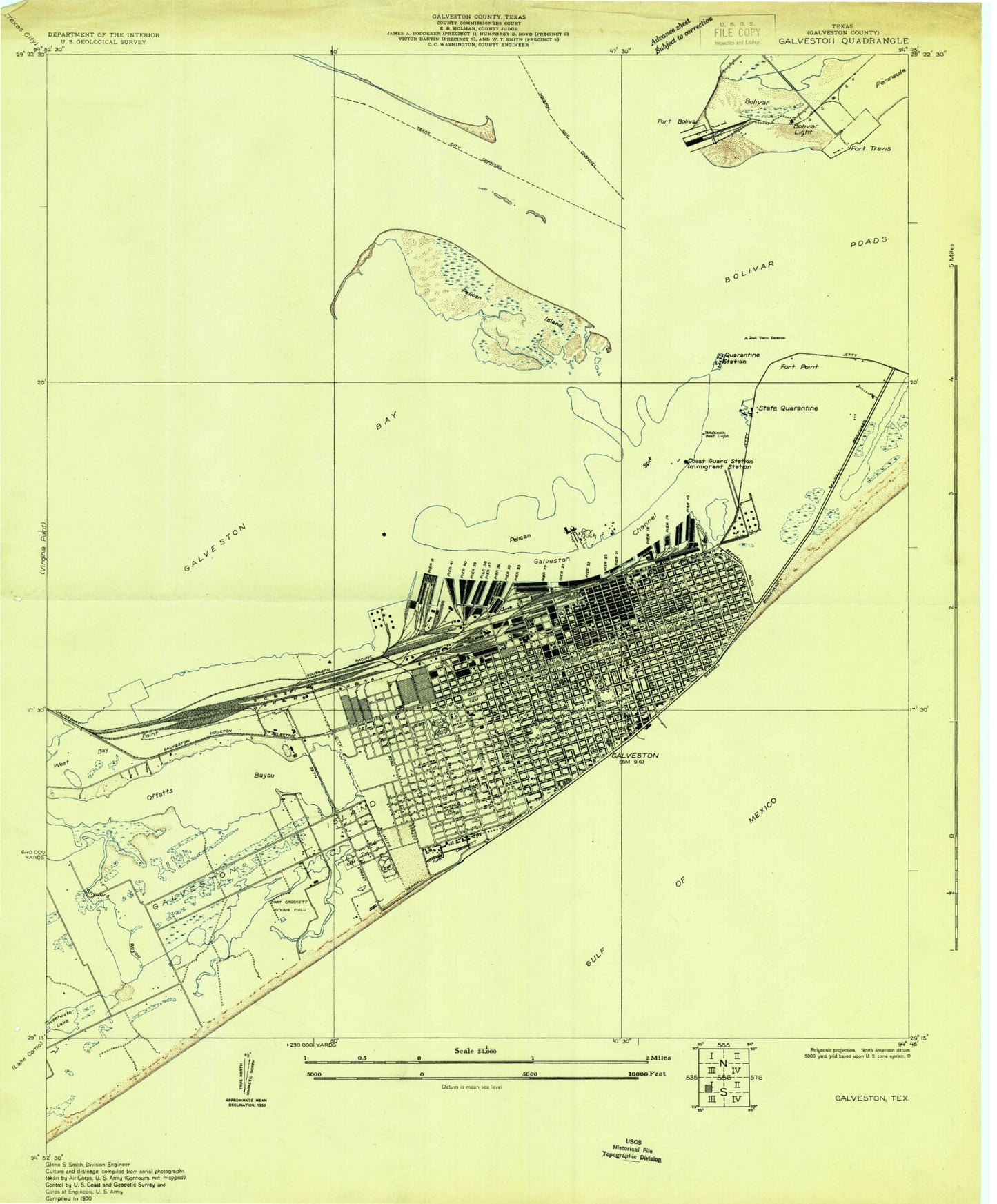
Classic USGS Galveston Texas 7.5'x7.5' Topo Map
Couldn't load pickup availability
Historical USGS topographic quad map of Galveston in the state of Texas. Typical map scale is 1:24,000, but may vary for certain years, if available. Print size: 24" x 27"
This quadrangle is in the following counties: Galveston.
The map contains contour lines, roads, rivers, towns, and lakes. Printed on high-quality waterproof paper with UV fade-resistant inks, and shipped rolled.
Contains the following named places: Alamo School, Austin School, Ball High School, Bolivar Roads, Central Church, Central High School, Childrens Home, Chimney Marine Hospital, Crockett School, Customs Building, East Beach, Elevator B, Fort Point, Galveston Channel, Goliad School, Grace Church, Greens Bayou, Inner Bar Channel, Island, O'Connell College Preparatory School, Lovenburg School, St. Marys Hospital, Moody State School, Old Fort San Jacinto, Orphans Home, Pelican Island, Pier Ten, Pier Eleven, Pier Twelve, Pier Fourteen, Pier Fifteen, Pier Eighteen, Pier Twentyone, Pier Twentytwo, Pier Twentythree, Pier Twentysix, Pier Twentyseven, Pier Twentynine, Pier Thirtythree, Pier Thirtyfive, Pier Thirtysix, Pier Thirtyseven, Pier Thirtyeight, Pier Thietynine, Pier Forty, Pier Fortyone, Pier B, Rosenburg School, Sam Houston School, San Jacinto School, Sydnor Bayou, The Lagoon, Todd Ferry, Travis School, Union Station, University of Texas Medical Branch, Horseshoe Lake, Offatts Bayou, Galveston, Fort Crockett, Fort Travis, Texas City Channel, KILE, Bolivar Roads Channel, UTMB, Adoue Park, Adventist School, Alamo Park, Apostolic Church, Assumption Church, Avenue L Church, B'Nai Israel Church, Ball High School North, Ball High School South, Beth Jacob Cemetery, Beth Jacob Church, Bethe Church, Bible Church, Bible Days Church, Bible Ways Church, Biblia Abierta Church, Broadway Church, Calvary Catholic Cemetery, Carter Temple Church, Cedar Terrace Community Center, Central Christian Church, Christ Church, Christ Church, Christian Church, Christian Heritage Church, City Senior Center, Compton Church, Crockett Park, Crockett Place Church, David G. Burnet Elementary School, Emanuel Church, First Assembly Church, First Church, First Latin Church, First Lutheran Church, First Presbyterian Church, First Union Church, Fort Crockett Seawall Park, Galveston Bible Church, Galveston Catholic School, Galveston College Fort Crockett, Galveston College, Galveston County Museum, Gethsemane Church, Gladnieo Parker School, Gospel Church, Gospel Church, Grace Church, Greek Cemetery, Grete Oppe School, Holy Rosary Church, Iglesia Monte Calverio Church, University of Texas Medical Branch--John Sealy Hospital, Jerusalem Church, John Sealy Hospital, Jones Park, Kempner Park, King of Kings Church, Kingdom Hall Church, L A Morgan School, Lakeview Cemetery, Lasker Park, Live Oak Church, Living God Church, Lovenberg Administration Building, Macedonia Church, Market Street Church, Menard Park, Moody Civic Center, Moody Gardens, Moody House Senior Center, Moody Memorial Church, Moody School, Mount Calvary Church, Mount Gilead Church, Mount Moriah Church, Mount Olive Church, Mount Pilgrim Church, Mount Zion Church, Municipal Cemetery, New Hope Church, New Hope Church, Our Lady of Guadalupe Church, Primera Church, Progressive Church, Queen of Peace Church, Reedy Chapel, Reina de la Paz Church, Rosenburg Library, Sacred Heart Church, Saint John Church, Saint Johns Church, Saint Josephs Church, Saint Luke Church, Saint Luke Church, Saint Luke Church, Saint Marys Cathedral, Saint Marys School, Saint Patricks Church, Saint Paul Church, Saint Pauls Church, Saint Peter the Apostle Church, Saints Constantine and Helen Church, Salon del Reino Church, San Jacinto Park, Scholes International Airport Terminal, Schreiber Park, Second Christian Church, Saints Constantine and Helen Serbian Orthodox Cemetery, Sheppard Park, Shiloh Church, Shriners Hospital for Children, Spiritual True Church, Stewart Beach Park, Sunlight Church, TDC Hospital, Tabernacle Church, Templo Emanuel Church, Templo Sinai Church, Texas A&M University at Galveston Fort Crockett Campus, Trinity Church, Trinity Church, Trinity Episcopal School, Unida Church, University Church, University of Texas Medical Branch Strand Building, Washington Park, Weis School, Wesley Church, West End Church, West Point Church, Westminster Church, Wright Cuney Park, Zion Church, KHCB-AM (Galveston), Scholes International Airport at Galveston, University of Texas Medical Branch Hospital Heliport, Shell Pelican Island Heliport (historical), Dresser Industries/Magcobar Heliport (historical), KGBC-AM (Galveston), Weis Middle School, Morgan Elementary Magnet School, Oppe Elementary School, Parker Elementary School, Rosenberg Elementary School, San Jacinto Elementary School (closed), Accelerated Instruction Model Aim Alternative Education Center, Student Alternative Instructional Learning Center, Galveston Alternative School, Alamo Elementary School (closed), Austin Middle School, Central Middle School, Rosenberg Library, Texas Seaport Museum, Samuel May Williams House, 1847 Powhatan House, 1859 Saint Josephs Church Museum, Ashton Villa and Heritage Visitors Center, The Bishops Palace, Galveston County Historical Museum, Galveston Island Railroad Museum, Lone Star Flight Museum, Mardi Gras Museum, Moody Mansion Museum, Ocean Star-Offshore Energy Center, Emmanuel Presbyterian Church, Westminster Presbyterian Church, Carter Temple Church, Queen of Peace Church, Tabernacle Church, First Lutheran Church
