MyTopo
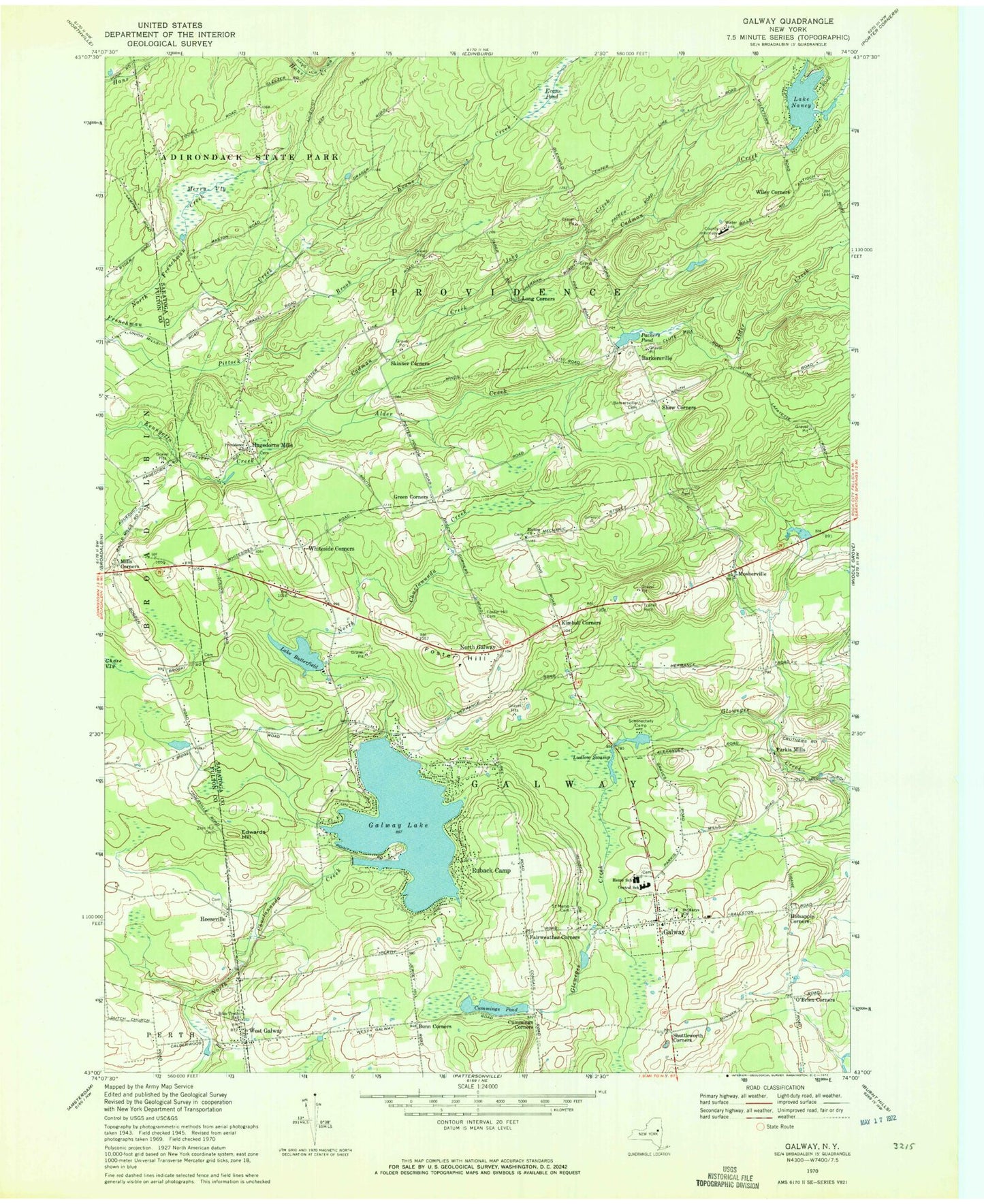
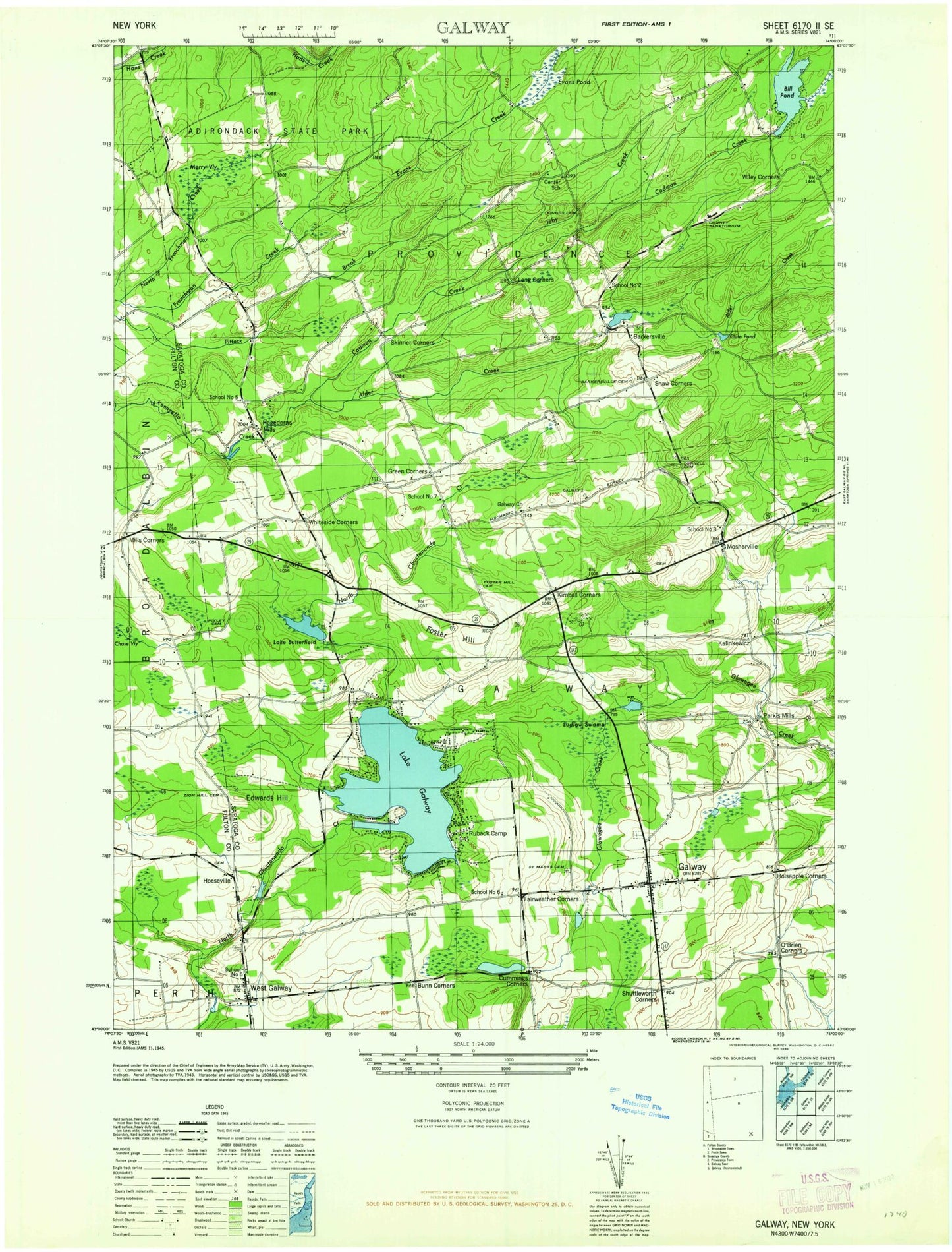
Classic USGS Galway New York 7.5'x7.5' Topo Map
Couldn't load pickup availability
Historical USGS topographic quad map of Galway in the state of New York. Map scale may vary for some years, but is generally around 1:24,000. Print size is approximately 24" x 27"
This quadrangle is in the following counties: Fulton, Saratoga.
The map contains contour lines, roads, rivers, towns, and lakes. Printed on high-quality waterproof paper with UV fade-resistant inks, and shipped rolled.
Contains the following named places: Alder Creek, Allen Cemetery, Barkersville, Barkersville Cemetery, Bible Truth Hall, Black Creek, Bunn Corners, Cadman Creek, Circle T Farms, Cummings Corners, Cummings Pond, Dudley Brook, Edwards Hill, Evans Creek, Evans Pond, Fairweather Corners, Foster Hill, Foster Hill Cemetery, Galway, Galway Airport, Galway Community Fellowship, Galway High School, Galway Lake, Galway Post Office, Galway Public Library, Galway Town Hall, Galway Village Cemetery, Galway Volunteer Fire Company, Green Corners, Hagadorn Cemetery, Hagedorns Mills, Hoeseville, Hoesville Road Cemetery, Holsapple Corners, Joby Creek, Joseph Henry Elementary School, Kimball Corners, Lake Butterfield, Lake Nancy, Long Corners, Ludlow Swamp, Mechanic Street Community Church Cemetery, Merry Vly, Milburt Farm And Greenhouses, Mills Corners, Mosherville, North Frenchman Creek, North Galway, O'Brien Corners, Packers Pond, Parkis Mills, Providence Baptist Church, Providence Volunteer Ambulance Corps, Providence Volunteer Fire Department Barkersville Station, Providence Volunteer Fire Department Hagadorn Mills Station, Regency Estates Trailer Park, Rolling Ridge Mobile Home Park, Ruback Camp, Saint Mary's Catholic Church, Saint Marys Cemetery, Saratogian Estates, Schenectady Camp, Shaw Corners, Shuttleworth Corners, Skinner Corners, Town of Galway, Town of Providence, Twin Pines Mobile Home Park, Village of Galway, West Galway, West Galway Cemetery, Whiteside Corners, Wiley Corners, ZIP Codes: 12074, 12086


