MyTopo
Classic USGS Gandy Nebraska 7.5'x7.5' Topo Map
Regular price
$16.95
Regular price
Sale price
$16.95
Unit price
per
Couldn't load pickup availability
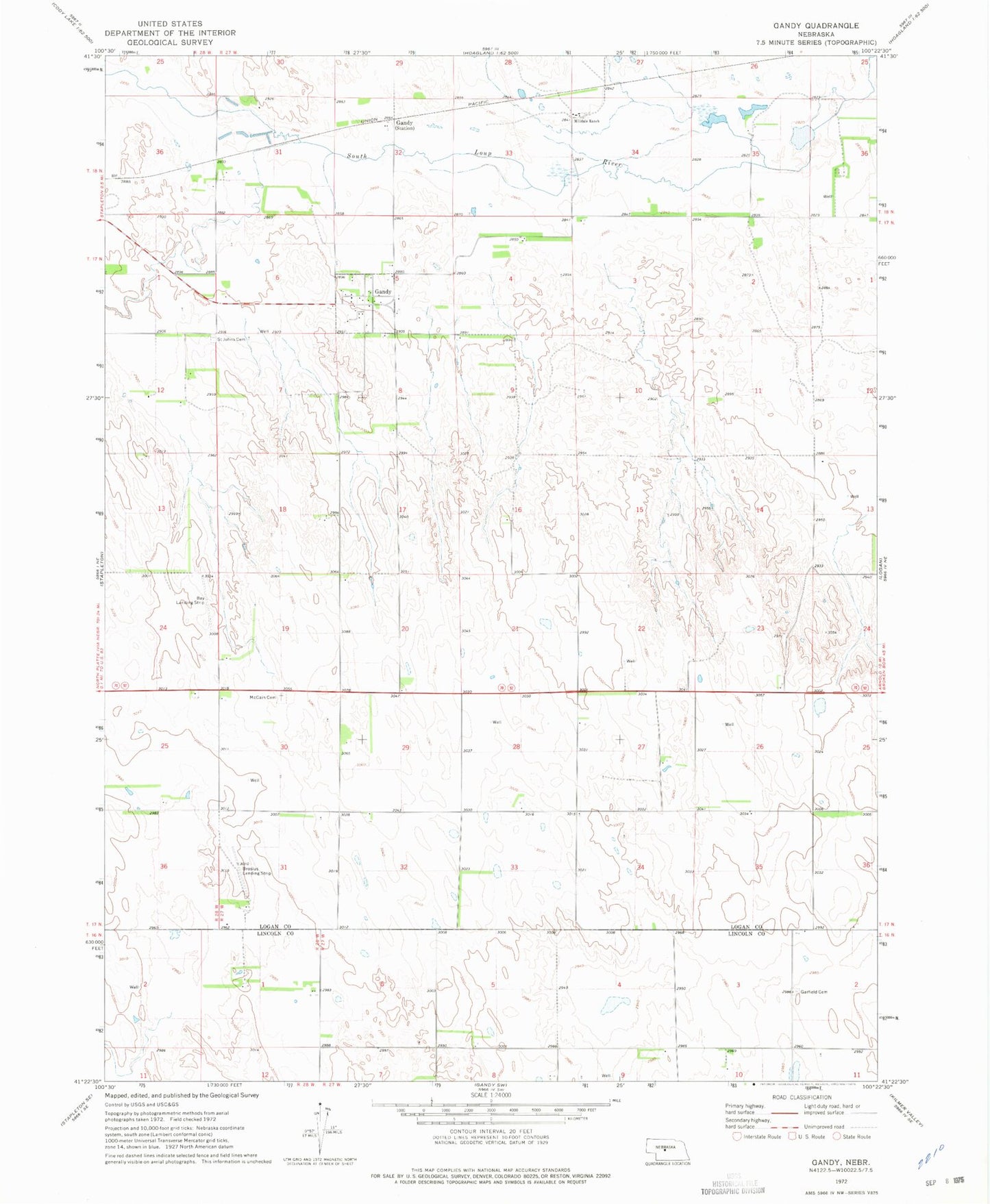
Historical USGS topographic quad map of Gandy in the state of Nebraska. Map scale may vary for some years, but is generally around 1:24,000. Print size is approximately 24" x 27"
This quadrangle is in the following counties: Lincoln, Logan.
The map contains contour lines, roads, rivers, towns, and lakes. Printed on high-quality waterproof paper with UV fade-resistant inks, and shipped rolled.
Contains the following named places: Bay Field, Brosius Field, Diamond Bar Jones Airport, Gandy, Gandy Community Bible Church, Gandy Election Precinct, Gandy Post Office, Garfield Cemetery, McCain Cemetery, Milldale Ranch, Saint Johns Cemetery, Village of Gandy