MyTopo
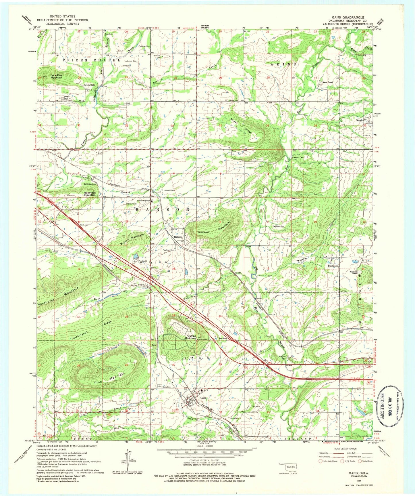
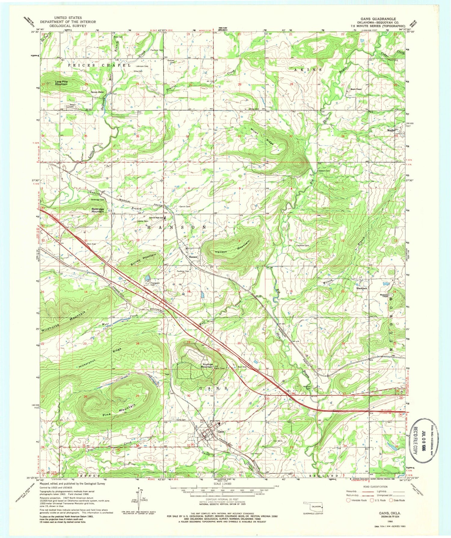
Classic USGS Gans Oklahoma 7.5'x7.5' Topo Map
Couldn't load pickup availability
Historical USGS topographic quad map of Gans in the state of Oklahoma. Map scale may vary for some years, but is generally around 1:24,000. Print size is approximately 24" x 27"
This quadrangle is in the following counties: Sequoyah.
The map contains contour lines, roads, rivers, towns, and lakes. Printed on high-quality waterproof paper with UV fade-resistant inks, and shipped rolled.
Contains the following named places: Baldridge Cemetery, Baldridge Mountain, Black Creek, Blackjack, Blackjack Cemetery, Blackjack Chapel, Burrow Mountain, Cedar Creek, Central Elementary School, Central High School, Ellis Cemetery, Faulkner Cemetery, Fleetwood Cemetery, Gans, Gans Cemetery, Gans Elementary School, Gans High School, Gans Volunteer Fire Department, Garvin Branch, Garvin Cemetery, Gary Myers Volunteer Fire Department, Hanson, Hanson Census Designated Place, Hanson Mountain, Hickorynut Ridge, Johnson Cemetery, KKID-FM (Sallisaw), Krumpe Mountain, Lessley Cemetery, Little Skin Bayou, Lone Pine Mountain, Maple, Maple Cemetery, Maple Chapel, Maple Volunteer Fire Department, Miller Cemetery, Miller Ridge, Mitchell Cemetery, Muldrow Division, Oknoname 135001 Dam, Oknoname 135001 Reservoir, Oknoname 135002 Dam, Oknoname 135002 Reservoir, Old Seabolt Cemetery, Peters Cemetery, Pine Mountain, Prairie Creek, Ross Branch, Ross Cemetery, Sallisaw Creek Site 38 Dam, Sallisaw Creek Site 38 Reservoir, Sallisaw Creek Site 39 Dam, Sallisaw Creek Site 39 Reservoir, Sallisaw Creek Site 40 Dam, Sallisaw Creek Site 40 Reservoir, Seven Oaks, Town of Gans, Township of Akins, Township of Gans, Township of Hanson, Wilson Branch, Wolf Creek, ZIP Codes: 74936, 74955


