MyTopo
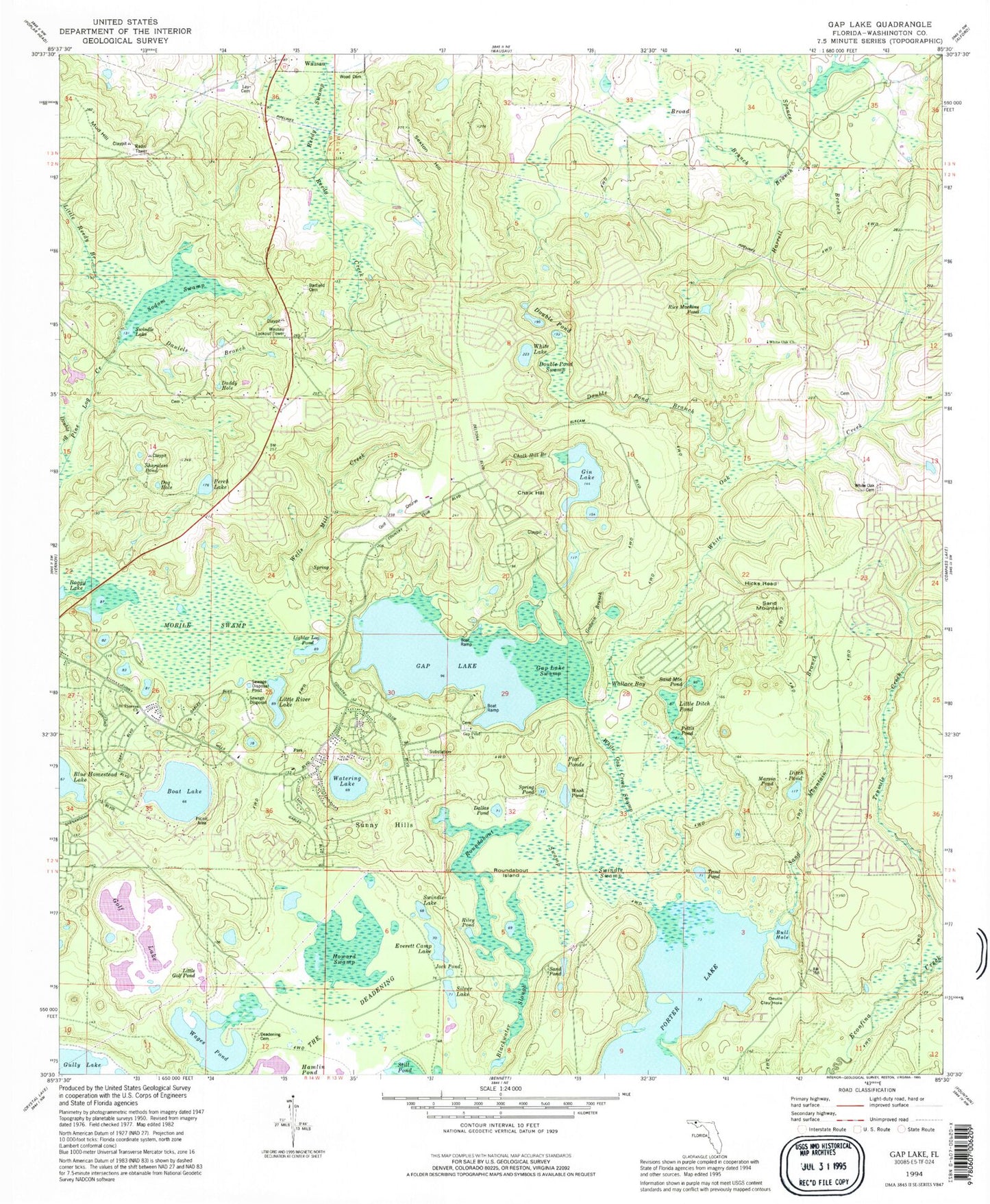
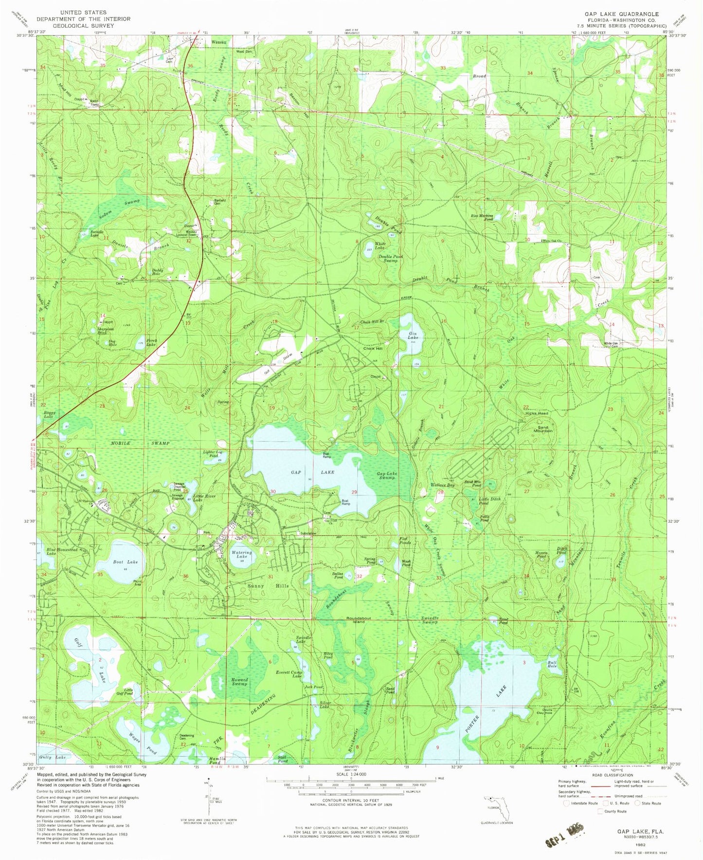
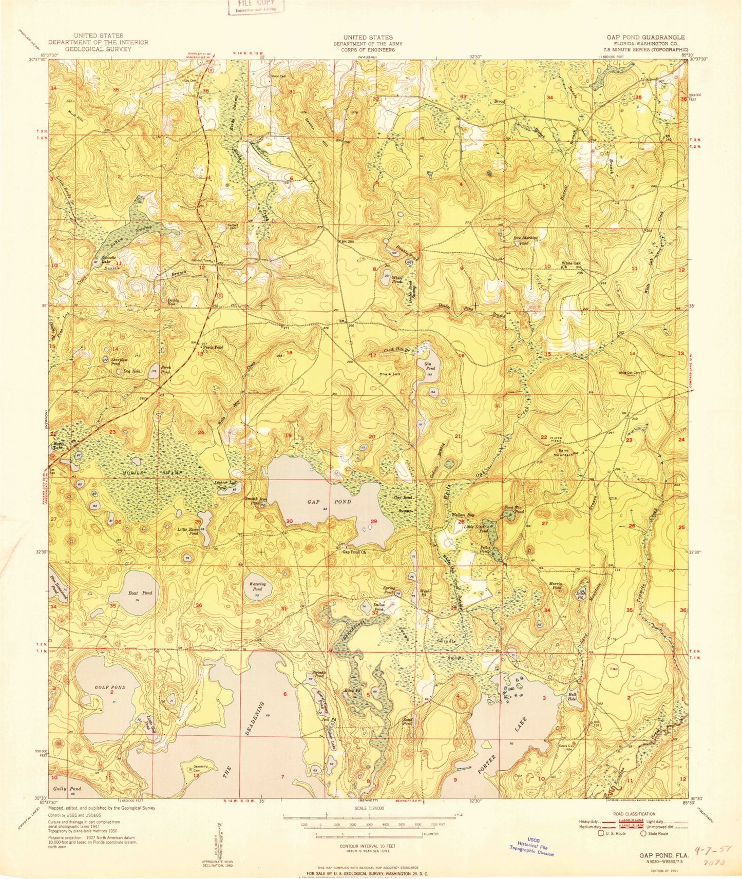
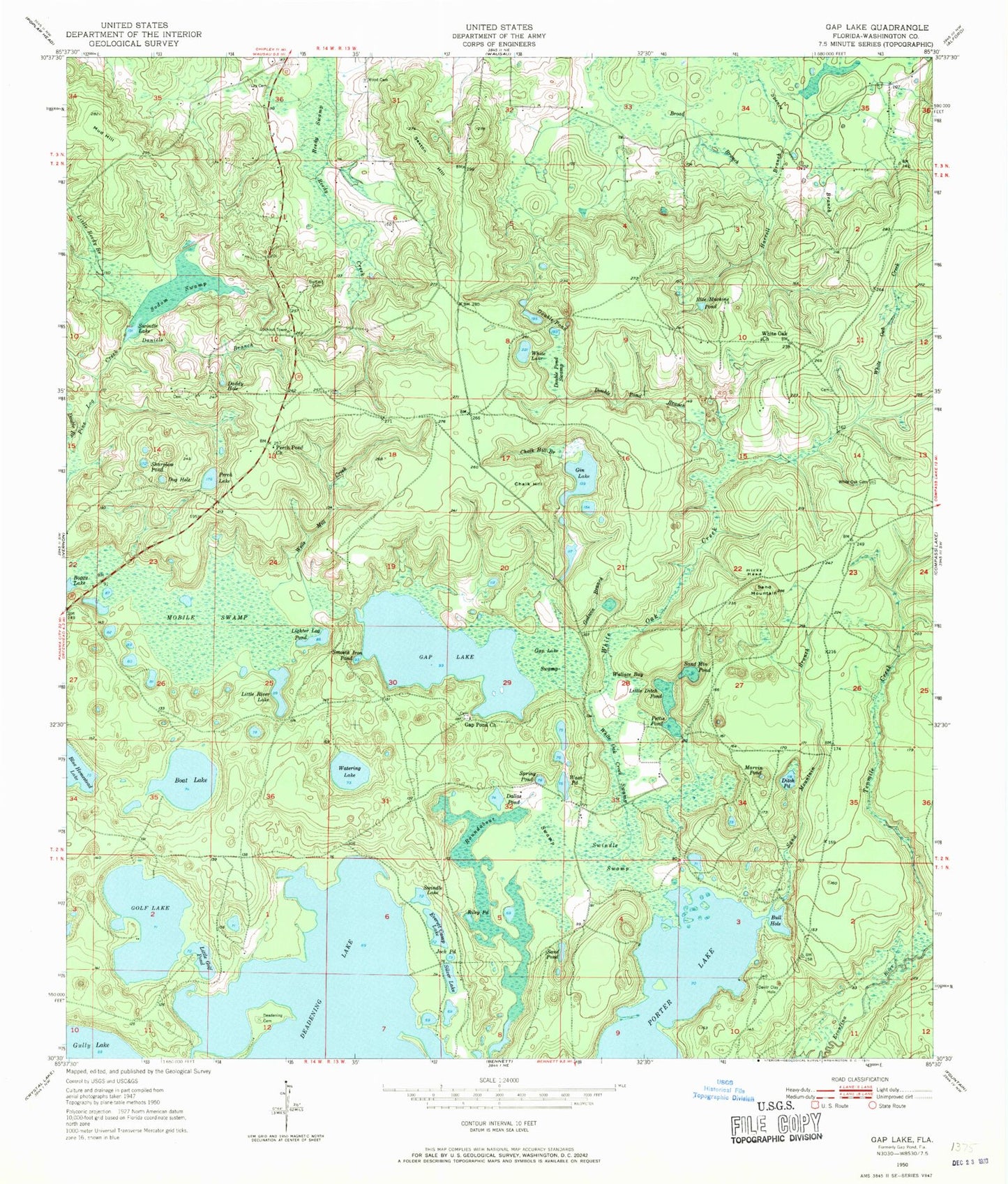
Classic USGS Gap Lake Florida 7.5'x7.5' Topo Map
Couldn't load pickup availability
Historical USGS topographic quad map of Gap Lake in the state of Florida. Map scale may vary for some years, but is generally around 1:24,000. Print size is approximately 24" x 27"
This quadrangle is in the following counties: Washington.
The map contains contour lines, roads, rivers, towns, and lakes. Printed on high-quality waterproof paper with UV fade-resistant inks, and shipped rolled.
Contains the following named places: Barfield Cemetery, Blackwater Slough, Blue Homestead Lake, Boat Lake, Boggy Lake, Broad Branch, Bull Hole, Chalk Hill, Chalk Hill Branch, Daddy Hole, Dallas Pond, Daniels Branch, Deadening Cemetery, Devils Clay Hole, Ditch Pond, Dog Hole, Double Branch, Double Pond, Double Pond Branch, Double Pond Swamp, Everett Camp Lake, Flat Ponds, Gap Lake, Gap Lake Swamp, Gap Pond Church, Gin Lake, Godwin Branch, Golf Lake, Grantham, Griffin Mill Pond, Harrell Branch, Hicks Head, Howard Swamp, Jock Pond, Leigh Cemetery, Lighter Log Pond, Little Ditch Pond, Little Golf Pond, Little Reedy Branch, Little River Lake, Marvin Pond, Mobile Swamp, Mud Hill, Perch Lake, Perch Pond Church, Pettis Pond, Porter Lake, Reedy Swamp, Rice Machine Pond, Riley Pond, Roundabout Lake, Roundabout Swamp, Sand Mountain, Sand Mountain Branch, Sand Mountain Pond, Sand Pond, Sexton Hill, Sharpless Pond, Silver Lake, Smooth Iron Pond, Sodom Swamp, Spence Branch, Spring Pond, Sunny Hills Volunteer Fire Department, Swindle Lake, Swindle Swamp, The Deadening, Trout Pond, Wages Pond, Wallace Bay, Wash Pond, Watering Lake, Wells Mill Creek, White Lake, White Oak Cemetery, White Oak Church, White Oak Creek Swamp, Wood Cemetery, ZIP Code: 32428


