MyTopo
Classic USGS Garards Fort Pennsylvania 7.5'x7.5' Topo Map
Couldn't load pickup availability
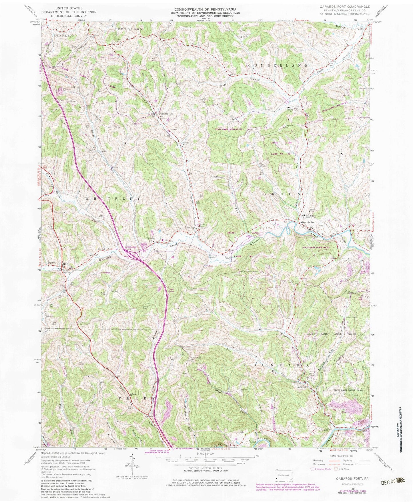
Historical USGS topographic quad map of Garards Fort in the state of Pennsylvania. Typical map scale is 1:24,000, but may vary for certain years, if available. Print size: 24" x 27"
This quadrangle is in the following counties: Greene.
The map contains contour lines, roads, rivers, towns, and lakes. Printed on high-quality waterproof paper with UV fade-resistant inks, and shipped rolled.
Contains the following named places: Asbury Church, Bell Run, Bowlby Shaft, Cowell Cemetery, Davistown, Dutch Run, Dyers Fork, Fordyce, Frosty Run, Frosty Run Shaft, Garards Fort, Garards Fort Shaft, Glade Run, Highland Cemetery, Johnson Cemetery, Kirby, Kirby Shaft, Long Shaft, Mason Ridge Cemetery, Meadow Run, Roberts Run, Steele Cemetery, Whiteley Chapel Cemetery, Woods Run, North Branch Calvin Run, State Game Lands Number 223, Minor Run, Township of Perry, Township of Greene, Garards Fort Post Office, Blaker Cemetery, Connor Cemetery, Fordyce Cemetery, Old Ironsides Cemetery, Hickman Family Cemetery, Garards Fort Cemetery, Stephens Cemetery, Rinehart - Scott Cemetery, Morris Cemetery


