MyTopo
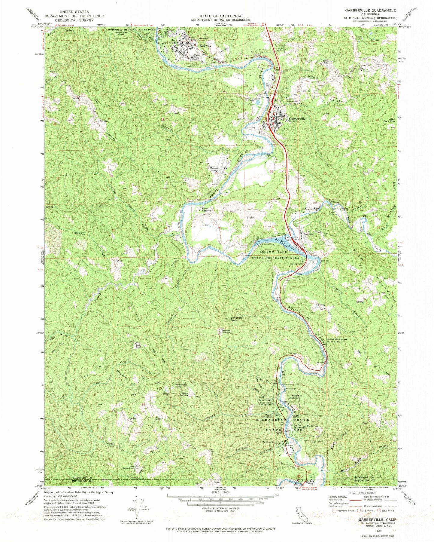
Classic USGS Garberville California 7.5'x7.5' Topo Map
Couldn't load pickup availability
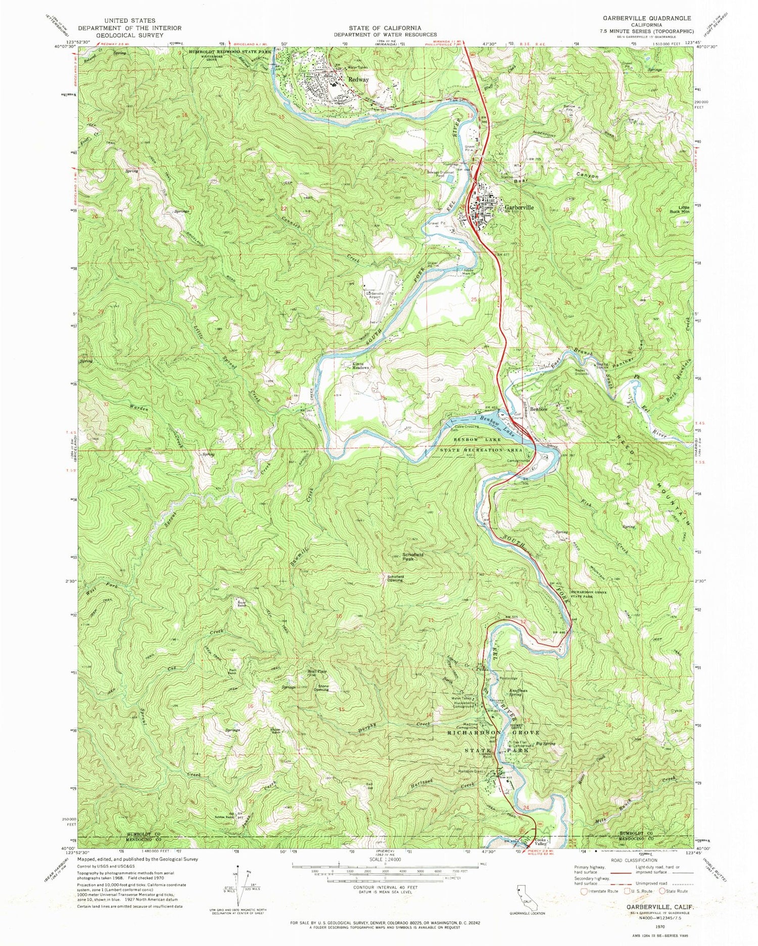
Historical USGS topographic quad map of Garberville in the state of California. Map scale may vary for some years, but is generally around 1:24,000. Print size is approximately 24" x 27"
This quadrangle is in the following counties: Humboldt, Mendocino.
The map contains contour lines, roads, rivers, towns, and lakes. Printed on high-quality waterproof paper with UV fade-resistant inks, and shipped rolled.
Contains the following named places: Beall Place, Bear Canyon, Benbow, Benbow Census Designated Place, Benbow Lake, Benbow Lake State Recreation Area, Benbow Post Office, Big Spring, Bluff Creek, Boyer Ranch, Buck Mountain Creek, California Department of Forestry and Fire Protection Garberville, California Highway Patrol Garberville, Community Presbyterian Church, Connick Creek, Cooks Valley, Cox Creek, Durphy Creek, Durphy Creek Trail, East Branch South Fork Eel River, First Baptist Church, Fish Creek, Garberville, Garberville Airport, Garberville Cemetery, Garberville Census Designated Place, Garberville Fire Protection District, Garberville Post Office, Grace Lutheran Church, Hartsook Creek, Hartsook Giant, Huckleberry Campground, Humboldt County Sheriff's Office Garberville Station, Jerold Phelps Community Hospital, John B Dewitt Redwoods State Natural Reserve, Kauffman Spring, Kimtu Meadows, Laurel Creek, Little Sproul Creek, Lookout Point Trail, Madrone Campground, Milk Ranch Creek, Mitzie Creek, Monschke Quarry, Nielson Ranch, North Creek, Oak Flat Campground, Old Sebbas Ranch, Our Lady of the Redwoods Catholic Church, Panorama Point, Panther Canyon, Paull Ranch, Rancheria Creek, Redway, Redway Census Designated Place, Redway Elementary School, Redway Fire Protection District, Redway Post Office, Redwood Creek, Richardson Grove, Richardson Grove State Park, Saint Andrews Episcopal Church, Sawmill Creek, Schofield Opening, Schofield Peak, Settlers Meadow, Settlers Trail, Sproul Creek, Stone Opening, Tan Oak Springs, Tan Oak Springs Trail, Tooby Memorial Park, Toumey Grove, Warden Creek, West Fork Sproul Creek, Whittemore Grove, Woodland Trail, ZIP Code: 95542


