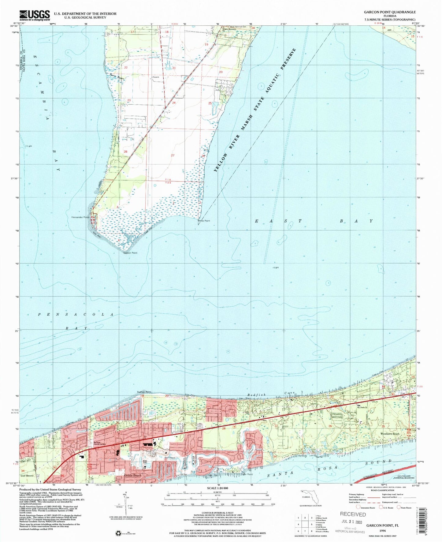
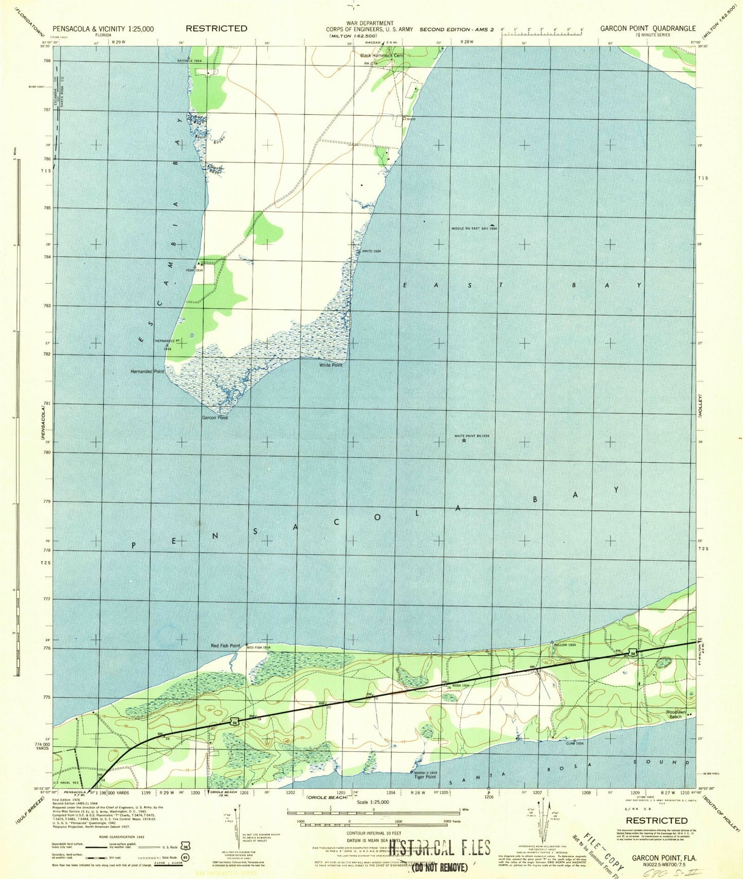
MyTopo
Classic USGS Garcon Point Florida 7.5'x7.5' Topo Map
Couldn't load pickup availability
Historical USGS topographic quad map of Garcon Point in the state of Florida. Map scale may vary for some years, but is generally around 1:24,000. Print size is approximately 24" x 27"
This quadrangle is in the following counties: Escambia, Santa Rosa.
The map contains contour lines, roads, rivers, towns, and lakes. Printed on high-quality waterproof paper with UV fade-resistant inks, and shipped rolled.
Contains the following named places: Avalon Mulat Volunteer Fire Department Substation 12, Basin Bayou, Black Hammock Cemetery, Dickerson City, Dickerson City Census Designated Place, East Bay, Garcon Field, Garcon Point, Garcon Point Census Designated Place, Hernandez Point, Memorial Serenity Gardens - Cemetery, Midway Census Designated Place, Midway Division, Midway Fire District Station 35, Midway Fire District Station 37, Redfish Cove, Redfish Point, Rose Lawn Cemetery, Saint Pauls Church, Santa Rosa County Sheriff's Office - District 1 Gulf Breeze, The Friary of Lakeview Center, Tiger Point, Tiger Point Census Designated Place, WBND-AM (Pensacola Beach), White Point, Wilson Memorial Church, WRNE-AM (Gulf Breeze), ZIP Code: 32563