MyTopo
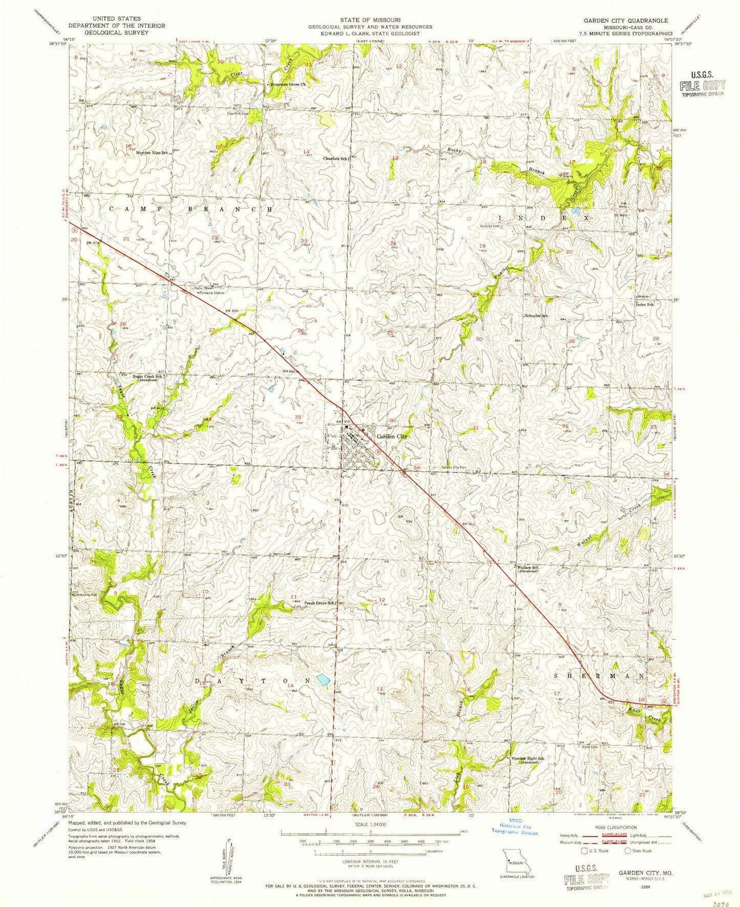
Classic USGS Garden City Missouri 7.5'x7.5' Topo Map
Couldn't load pickup availability
Historical USGS topographic quad map of Garden City in the state of Missouri. Map scale may vary for some years, but is generally around 1:24,000. Print size is approximately 24" x 27"
This quadrangle is in the following counties: Cass.
The map contains contour lines, roads, rivers, towns, and lakes. Printed on high-quality waterproof paper with UV fade-resistant inks, and shipped rolled.
Contains the following named places: Breed Ranch Airport, Brown School, Buckley Cemetery, Byler Cemetery, City of Garden City, Clearfork Cemetery, Clearfork School, Farmers View School, Garden City, Garden City Cemetery, Garden City Fire Protection District, Garden City Lake Dam, Garden City Police Department, Garden City Post Office, Garden City School, Garden City Wastewater Treatment Facility, Index, Index School, Ivy Wall Lake Dam, Joslin Branch, Martin Cemetery, Number Eight School, Number Nine School, Peach Grove School, Rockford, Rocky Branch, Schrock Lake, Schrock Lake Dam, Schuyler School, Sugar Creek School, Sycamore Grove Church, Township of Dayton, Township of Index, Training Center Christian School, Wallace School, ZIP Code: 64747