MyTopo
Classic USGS Garden City South Dakota 7.5'x7.5' Topo Map
Couldn't load pickup availability
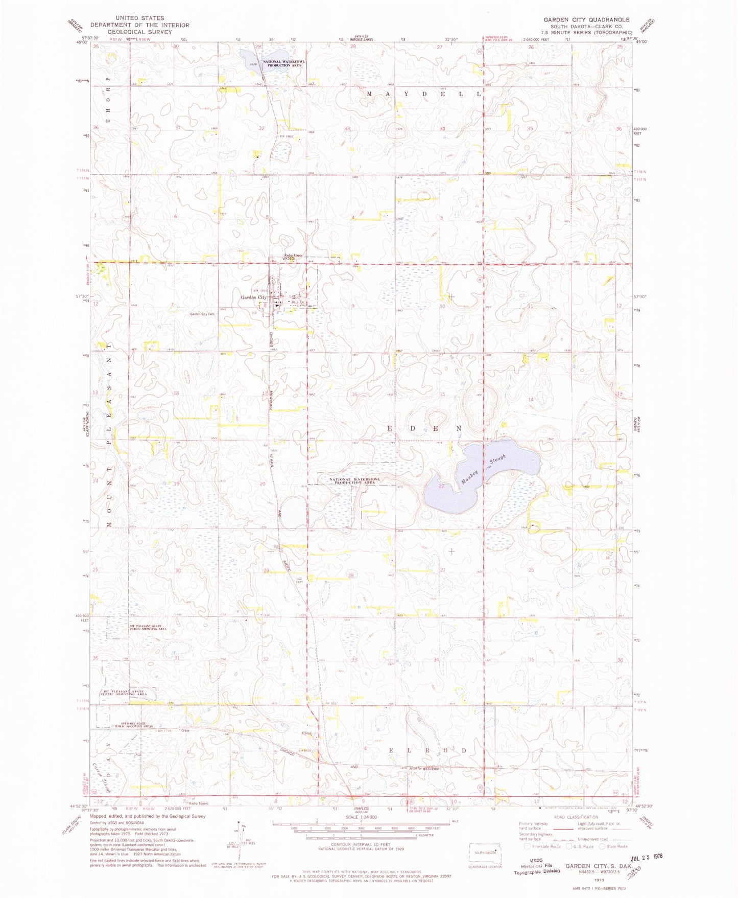
Historical USGS topographic quad map of Garden City in the state of South Dakota. Map scale may vary for some years, but is generally around 1:24,000. Print size is approximately 24" x 27"
This quadrangle is in the following counties: Clark.
The map contains contour lines, roads, rivers, towns, and lakes. Printed on high-quality waterproof paper with UV fade-resistant inks, and shipped rolled.
Contains the following named places: Caseys Slough, Elrod, Garden City, Garden City Cemetery, Garden City Fire Department, Garden City Post Office, KDLO-FM (Watertown), Mankey Slough, Mount Pleasant State Public Shooting Area, Silver Lake Colony, Stewart State Public Shooting Area, Town of Garden City, Township of Eden, ZIP Code: 57236