MyTopo
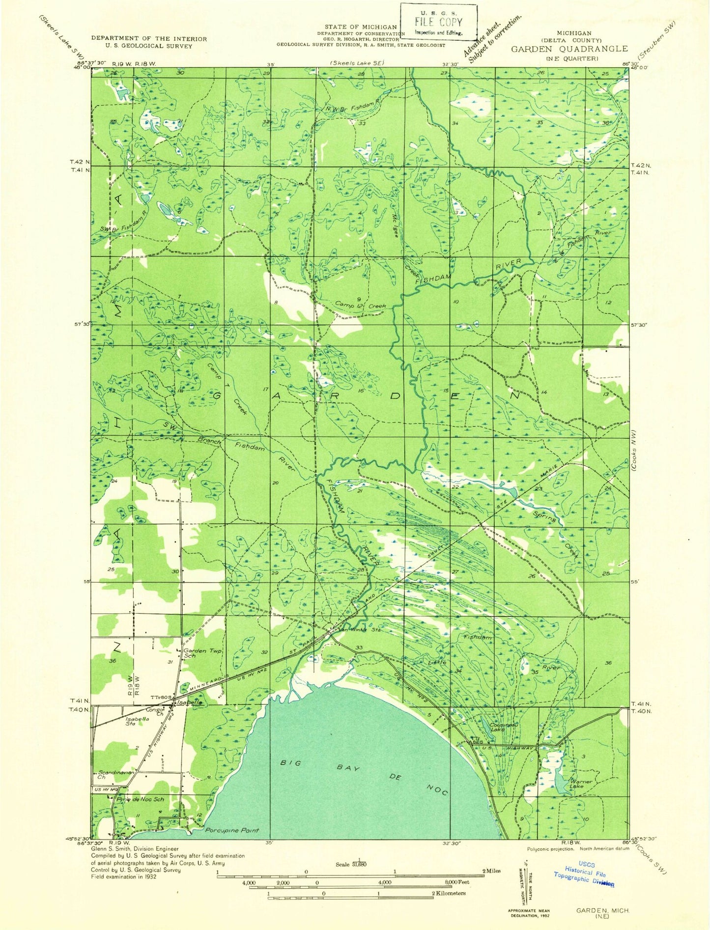
Classic USGS Garden Corners Michigan 7.5'x7.5' Topo Map
Couldn't load pickup availability
Historical USGS topographic quad map of Garden Corners in the state of Michigan. Map scale may vary for some years, but is generally around 1:24,000. Print size is approximately 24" x 27"
This quadrangle is in the following counties: Delta.
The map contains contour lines, roads, rivers, towns, and lakes. Printed on high-quality waterproof paper with UV fade-resistant inks, and shipped rolled.
Contains the following named places: Archambeau Creek, Bethany Church, Camp Eleven Creek, Camp Seven Creek, Camp Twelve Creek, Cousineau Lake, Fish Dam Campground and RV Park, Fishdam Park, Fishdam River, Garden Corners, Garden Corners Rest Area, Isabella, Isabella Post Office, Isabella Station, Little Fishdam River, McIgee Creek, Porcupine Point, Saint Ann Church, Southwest Branch Fishdam River, Spring Creek, Township of Garden, Vans Camp, Warner Lake, West Branch Lakes