MyTopo
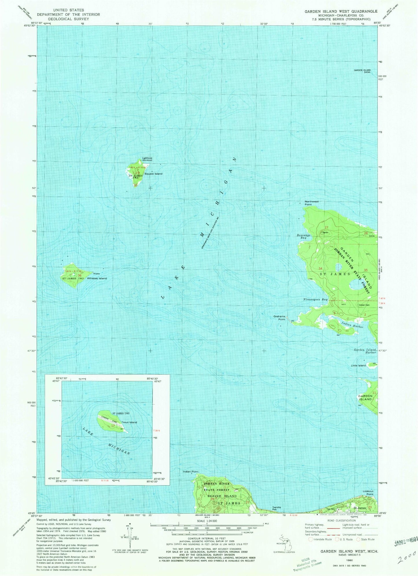
Classic USGS Garden Island West Michigan 7.5'x7.5' Topo Map
Couldn't load pickup availability
Historical USGS topographic quad map of Garden Island West in the state of Michigan. Map scale may vary for some years, but is generally around 1:24,000. Print size is approximately 24" x 27"
This quadrangle is in the following counties: Charlevoix.
The map contains contour lines, roads, rivers, towns, and lakes. Printed on high-quality waterproof paper with UV fade-resistant inks, and shipped rolled.
Contains the following named places: Bomways Bay, Garden Island Harbor, Grahams Point, Indian Cemetery, Indian Harbor, Indian Point, Jordan River State Forest, Little Island, Lookout Point, Ninneegoes Bay, Northwest Point, Saint James, Saint James Township Cemetery, Saint James Township Park, Squaw Island, Squaw Island Lighthouse, Township of Saint James, Whiskey Island