MyTopo
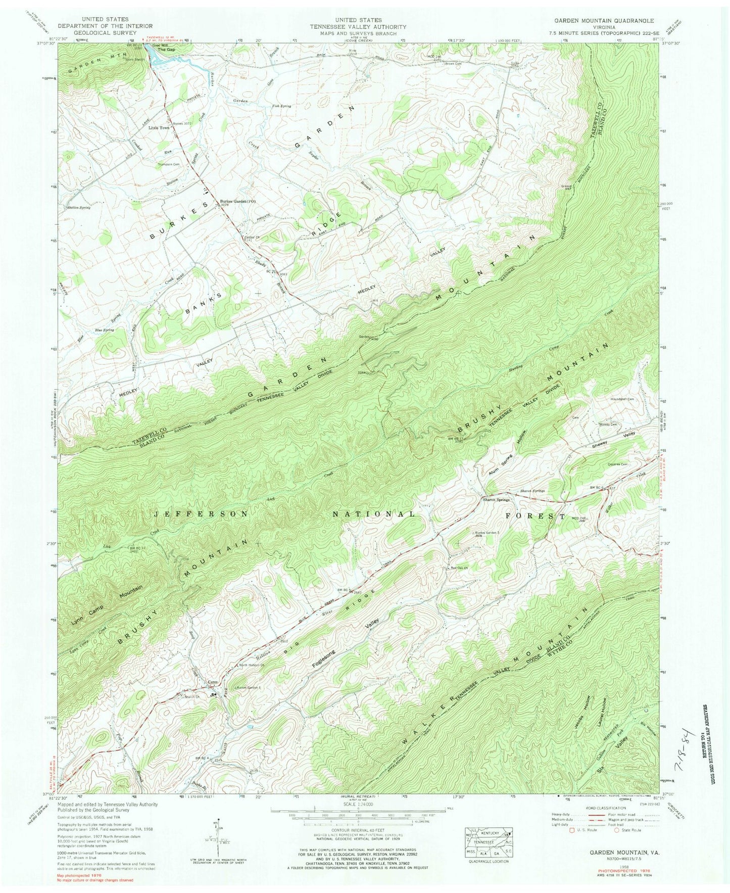
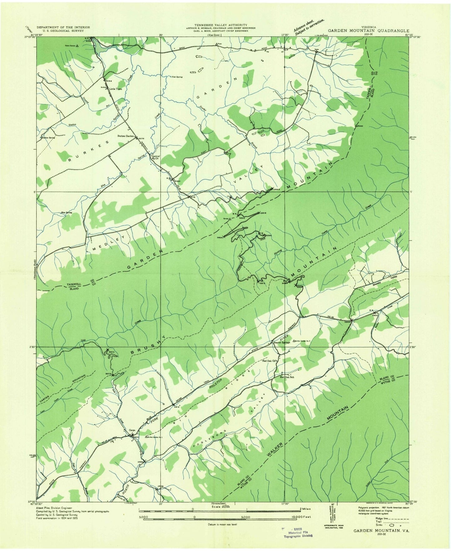
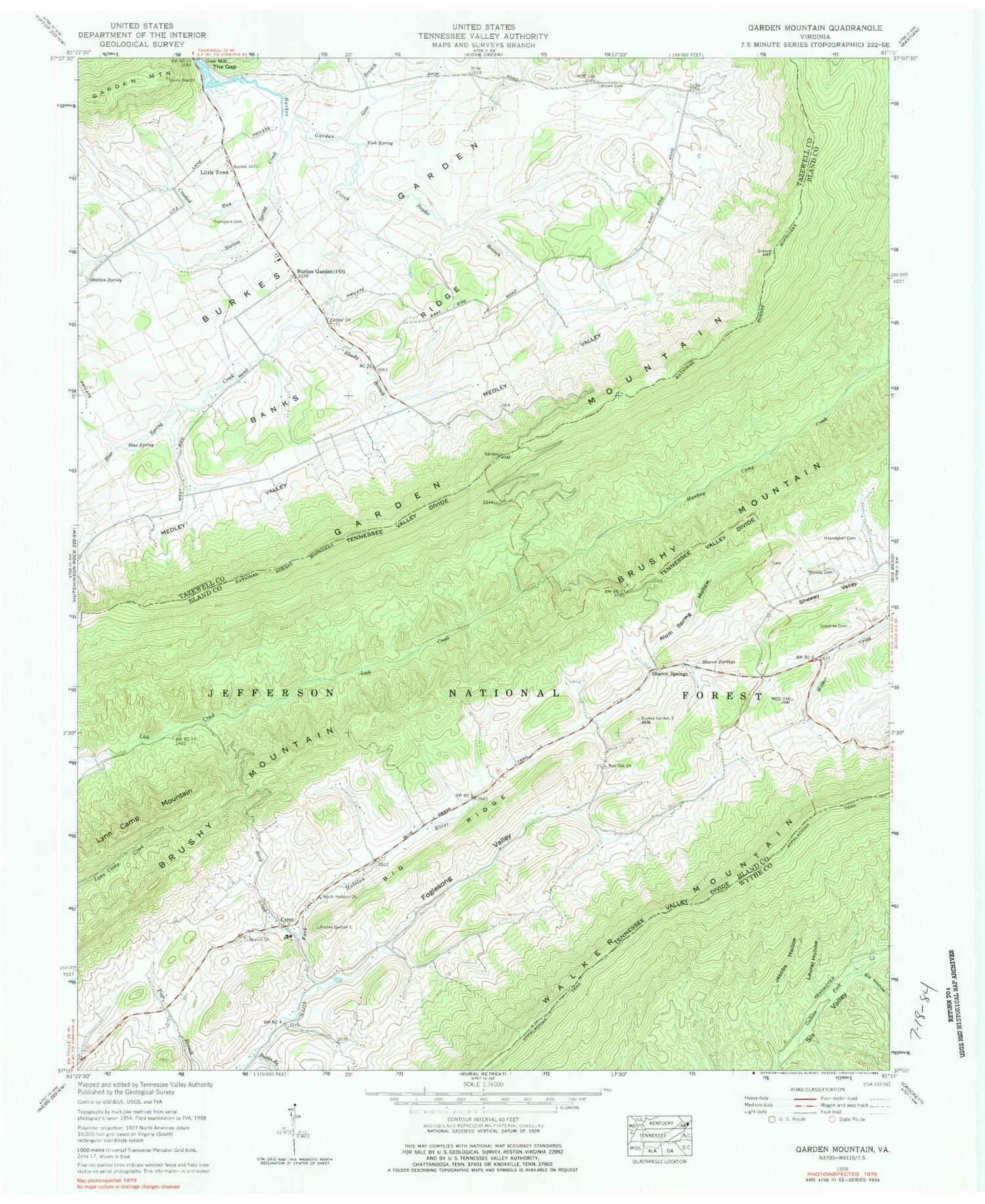
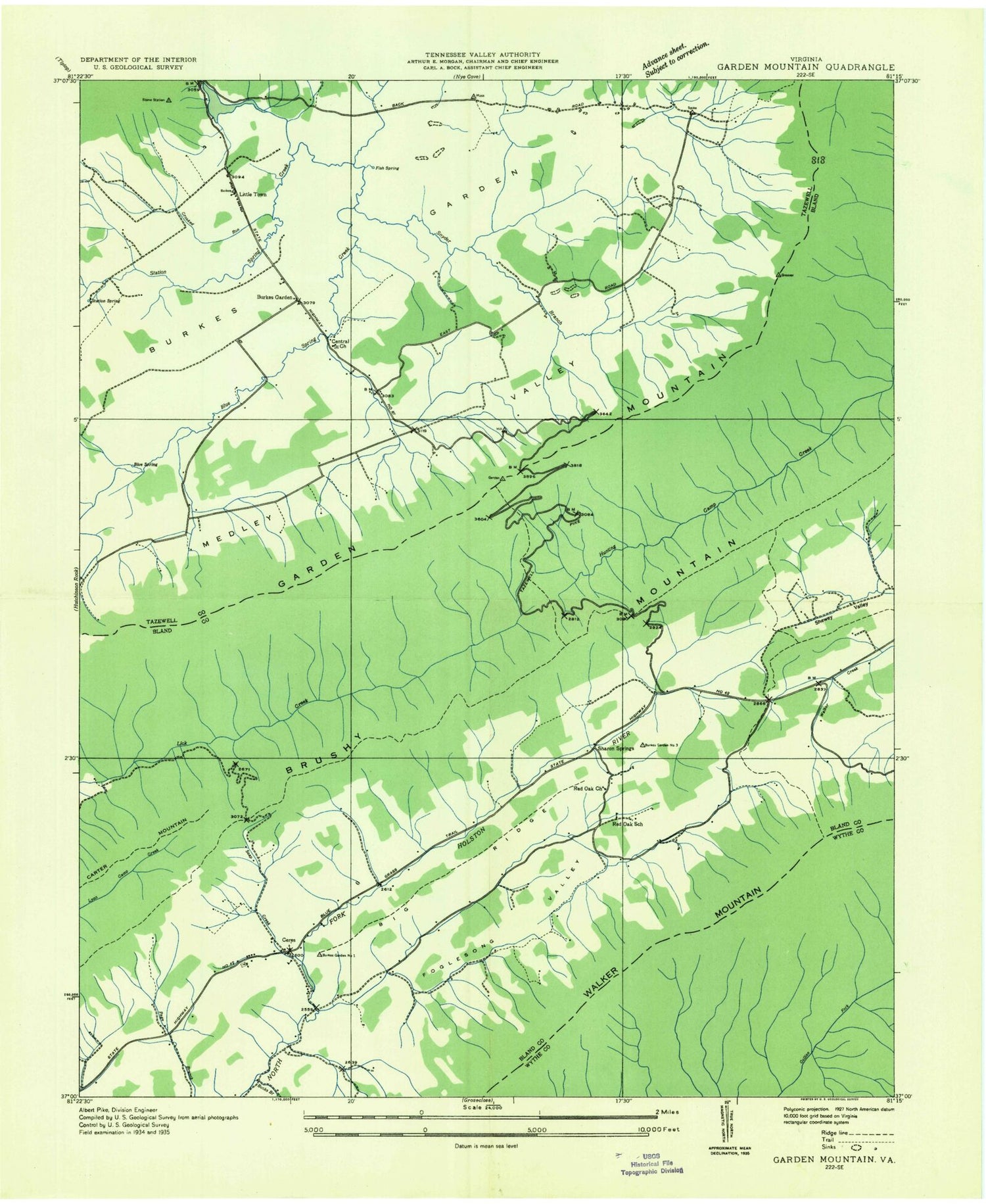
Classic USGS Garden Mountain Virginia 7.5'x7.5' Topo Map
Couldn't load pickup availability
Historical USGS topographic quad map of Garden Mountain in the state of Virginia. Typical map scale is 1:24,000, but may vary for certain years, if available. Print size: 24" x 27"
This quadrangle is in the following counties: Bland, Tazewell, Wythe.
The map contains contour lines, roads, rivers, towns, and lakes. Printed on high-quality waterproof paper with UV fade-resistant inks, and shipped rolled.
Contains the following named places: Alum Spring Hollow, Banks Ridge, Big Ridge, Blue Spring, Blue Spring Creek, Brown Cemetery, Bucks Branch, Burkes Garden, Central Church, Crabtree Cemetery, Crooked Run, Fish Spring, Foglesong Valley, Gose Branch, Hounshell Cemetery, Jacobs Hollow, Laurel Hollow, Medley Valley, North Holston Church, Red Oak Church, Rhudy Branch, Sharon Church, Sharon Springs, Shewey Cemetery, Shewey Valley, Six Hollow, Snyder Branch, Soap Creek, Station Spring, Station Spring Creek, Thompson Cemetery, Jenkins Shelter, Gullion Fork Fishing Ponds, Red Oak Cemetery, Sharon Cemetery, Ceres, Little Town, Sharon Springs, Lynn Camp Mountain, Burkes Garden Central Church Lutheran Cemetery, Burkes Garden High School (historical), Burkes Garden Rural Historic District, Spracher Place, Redoak School (historical), Burkes Garden, Burkes Garden Airport, Burkes Garden Post Office, Sharon District (historical), District 1, Ceres Volunteer Fire Department, Burkes Garden Volunteer Fire Department, Ceres Post Office, Garden Mountain Wilderness


