
MyTopo
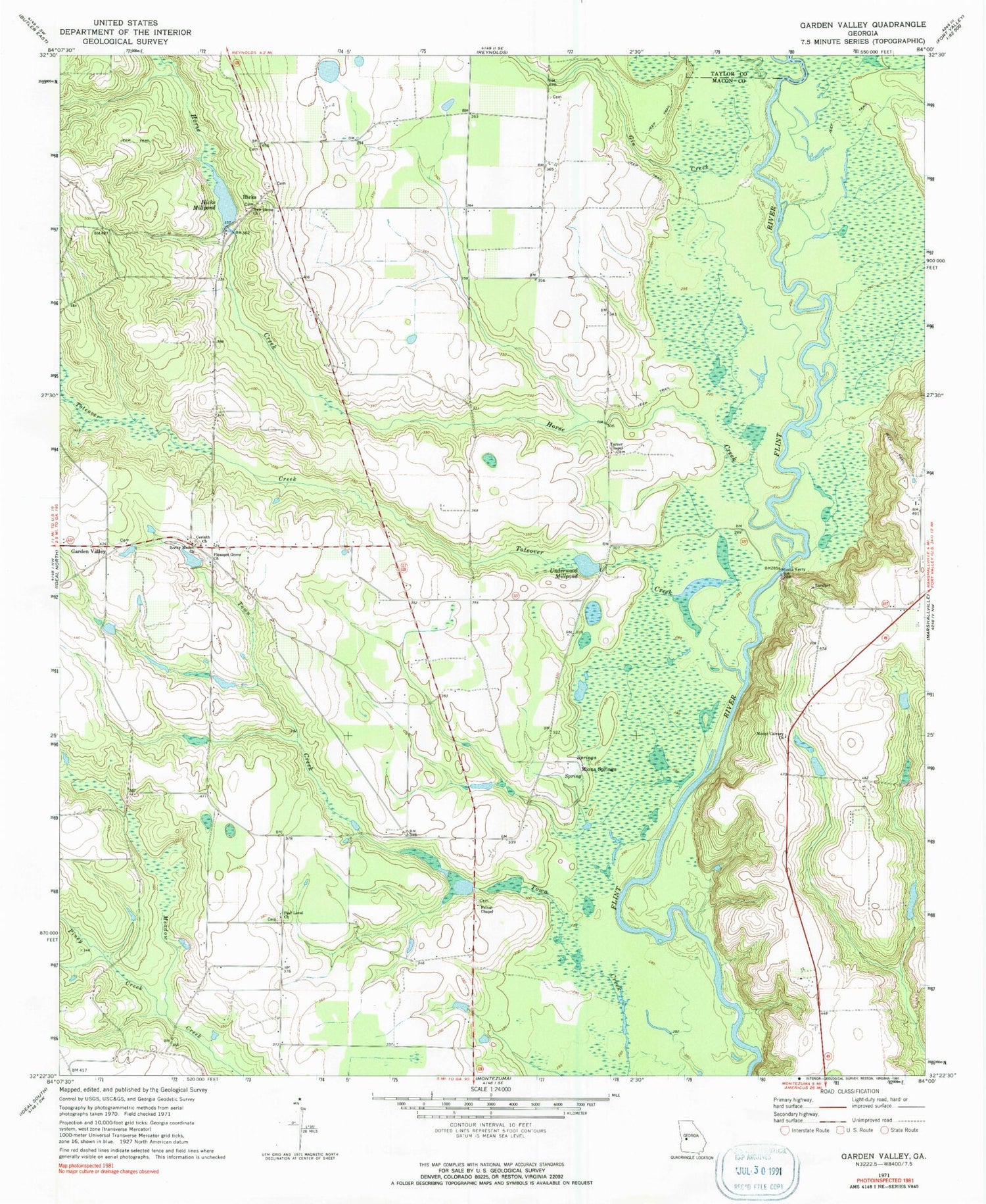
Classic USGS Garden Valley Georgia 7.5'x7.5' Topo Map
Couldn't load pickup availability
Historical USGS topographic quad map of Garden Valley in the state of Georgia. Map scale may vary for some years, but is generally around 1:24,000. Print size is approximately 24" x 27"
This quadrangle is in the following counties: Macon, Taylor.
The map contains contour lines, roads, rivers, towns, and lakes. Printed on high-quality waterproof paper with UV fade-resistant inks, and shipped rolled.
Contains the following named places: Beaver Creek, Bryants Swamp, Corinth Church, Felton Chapel, Garden Valley, Gin Creek, Hartman Lake, Hartman Lake Dam, Hicks, Hicks Millpond, Hicks Millpond Dam, Horse Creek, Miona Ferry, Miona Springs, Mount Calvary Church, New Home Church, Pine Level Church, Piney Creek, Pleasant Grove Church, Pleasant Grove Church Cemetery, Rocky Mount Church, Toteover Creek, Turner Chapel, Underwood Millpond, Wilber Hall Church


