MyTopo
Classic USGS Gardiner Washington 7.5'x7.5' Topo Map
Couldn't load pickup availability
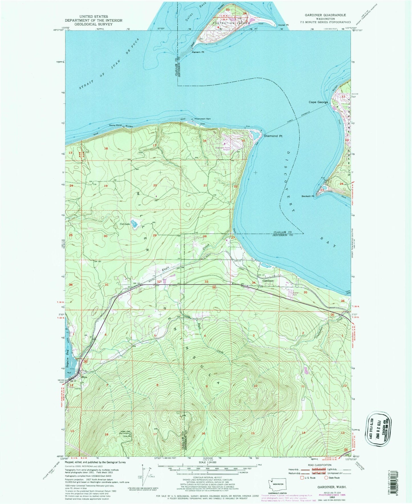
Historical USGS topographic quad map of Gardiner in the state of Washington. Typical map scale is 1:24,000, but may vary for certain years, if available. Print size: 24" x 27"
This quadrangle is in the following counties: Clallam, Jefferson.
The map contains contour lines, roads, rivers, towns, and lakes. Printed on high-quality waterproof paper with UV fade-resistant inks, and shipped rolled.
Contains the following named places: Beckett Point, Cape George, Cat Lake, Diamond Point, Eagle Creek, Gardiner, Kanem Point, Miller Peninsula, Discovery Bay, Rocky Point, Thompson Spit, Blyn Lookout, Diamond Point Airstrip, Protection Island Landing Strip (historical), Blyn Census Designated Place, J and D East Pit, Gardiner Community Church, Little Brown Church of Blyn, Gardiner Country Chapel, Cape George Colony Club Marina, Clallam County Fire District 3 Station 35 - Diamond Point, Jefferson County Fire Protection District 5 Discovery Bay Fire Department Station 52, Protection Island National Wildlife Refuge


