MyTopo
Classic USGS Gardner Pond Maine 7.5'x7.5' Topo Map
Regular price
$16.95
Regular price
Sale price
$16.95
Unit price
per
Couldn't load pickup availability
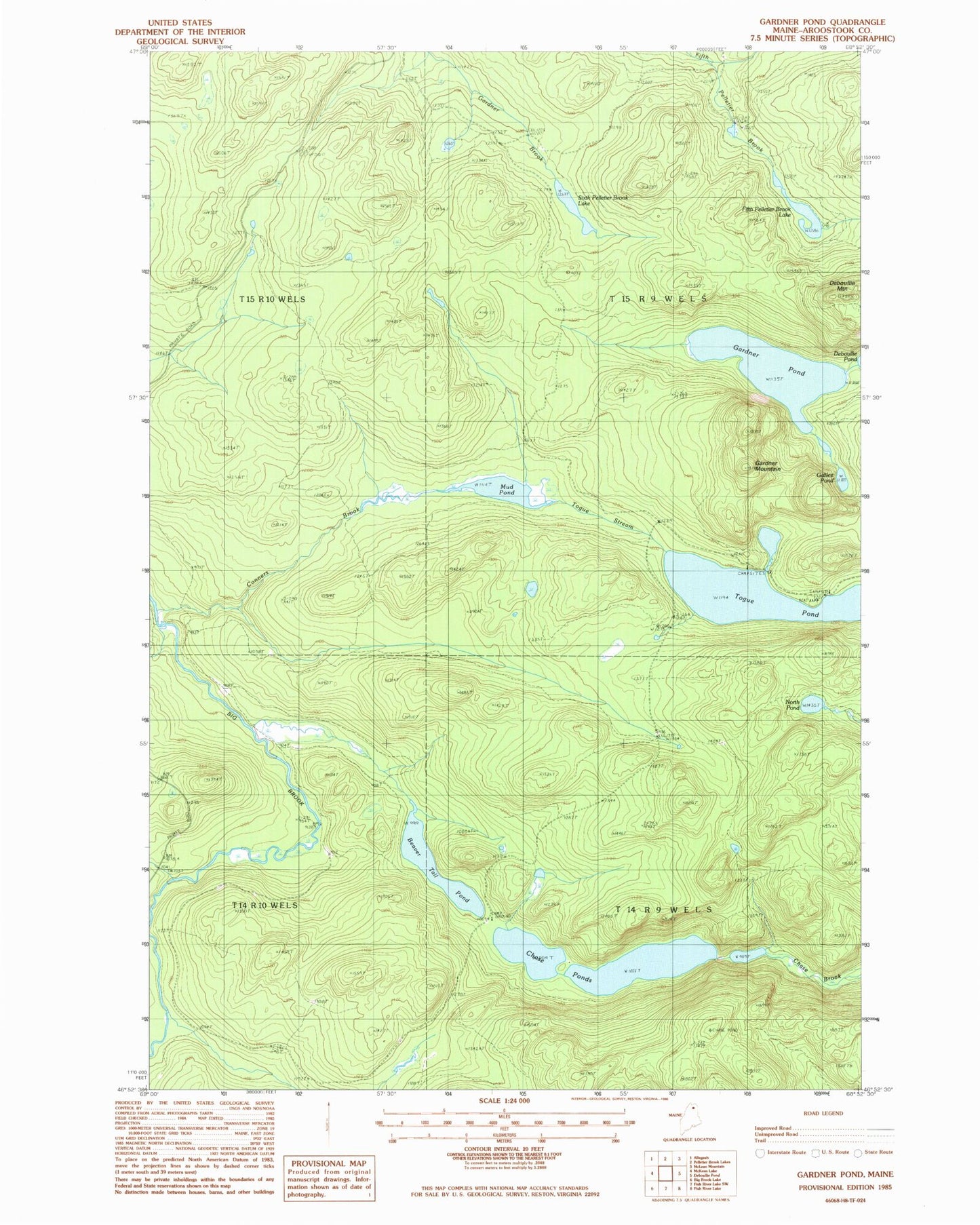
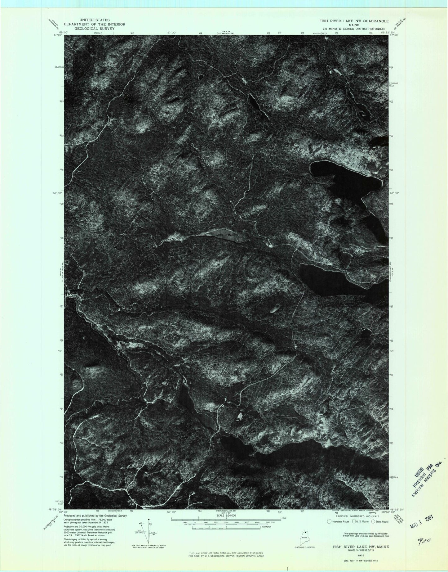
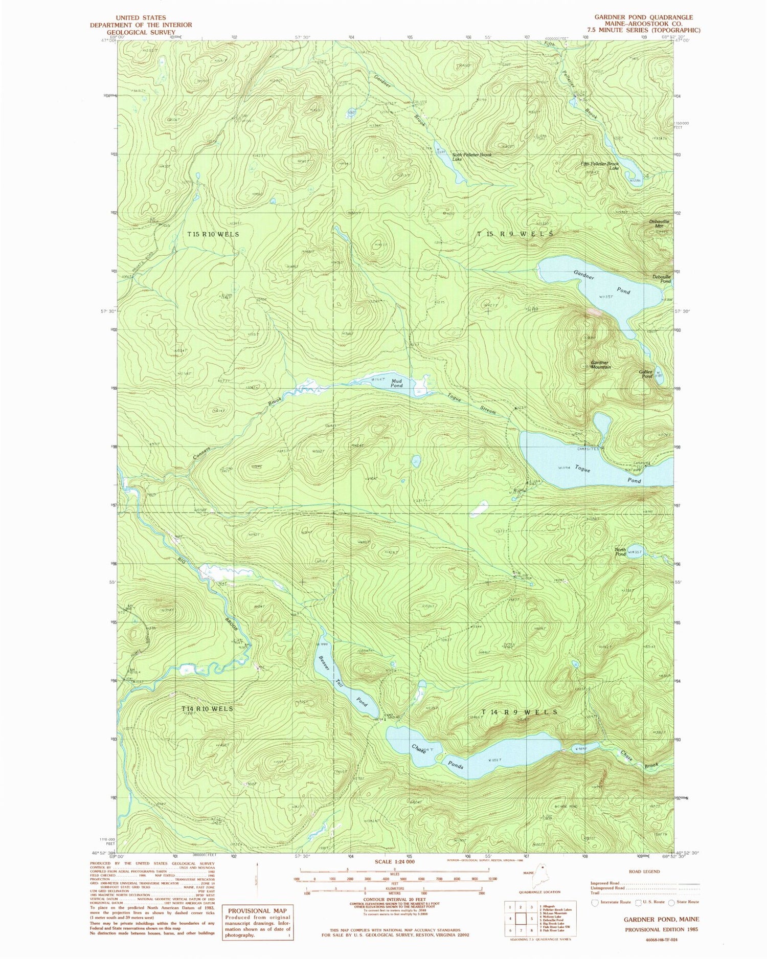
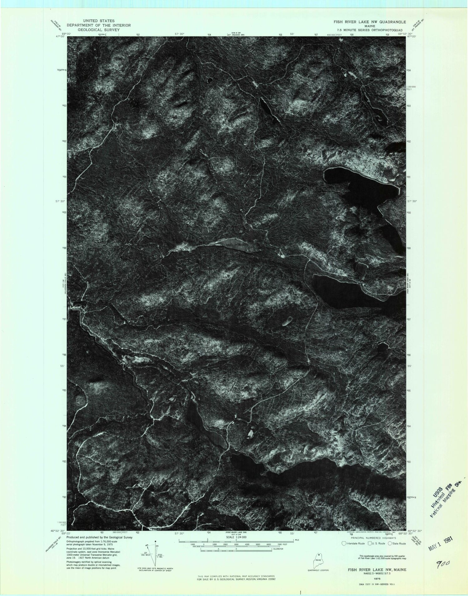
Historical USGS topographic quad map of Gardner Pond in the state of Maine. Typical map scale is 1:24,000, but may vary for certain years, if available. Print size: 24" x 27"
This quadrangle is in the following counties: Aroostook.
The map contains contour lines, roads, rivers, towns, and lakes. Printed on high-quality waterproof paper with UV fade-resistant inks, and shipped rolled.
Contains the following named places: Beaver Tail Pond, Chase Ponds, Conners Brook, Deboullie Mountain, Fifth Pelletier Brook Lake, Galilee Pond, Gardner Mountain, Gardner Pond, Mud Pond, North Pond, Sixth Pelletier Brook Lake, Togue Pond, Togue Stream, Wheelock Mill, T14 R9 WELS, T15 R9 WELS