MyTopo
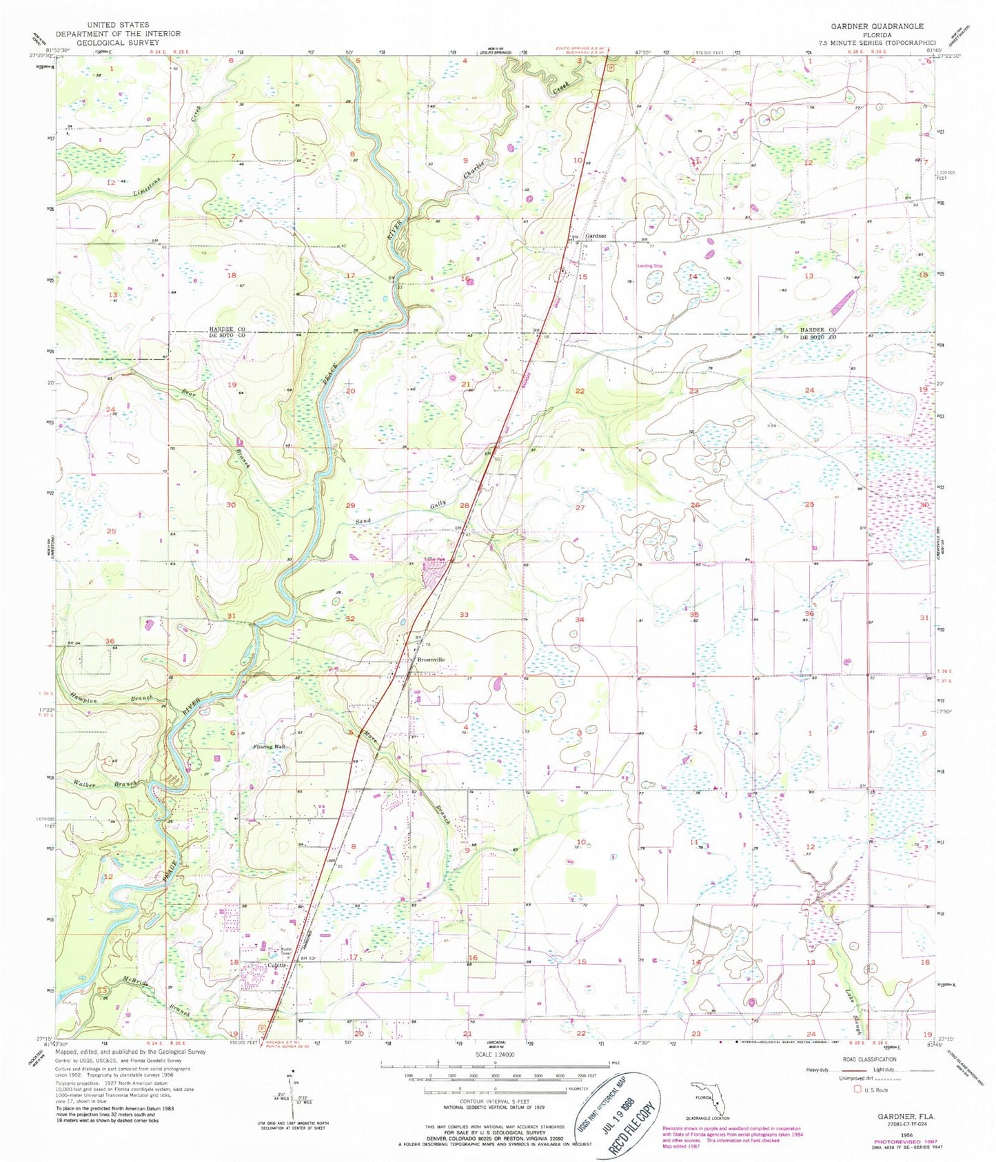
Classic USGS Gardner Florida 7.5'x7.5' Topo Map
Couldn't load pickup availability
Historical USGS topographic quad map of Gardner in the state of Florida. Typical map scale is 1:24,000, but may vary for certain years, if available. Print size: 24" x 27"
This quadrangle is in the following counties: DeSoto, Hardee.
The map contains contour lines, roads, rivers, towns, and lakes. Printed on high-quality waterproof paper with UV fade-resistant inks, and shipped rolled.
Contains the following named places: Charlie Creek, Bear Branch, Brownville, Hampton Branch, Mare Branch, Sand Gully, Walker Branch, Cubitis, Gardner, Coker Cemetery, Gardner Airport (historical), WXKT-FM (Arcadia), Jerrys Park Mobile Home Park, Brownville Baptist Church, Gardner Census Designated Place, Arcadia Drive-In (historical)