MyTopo
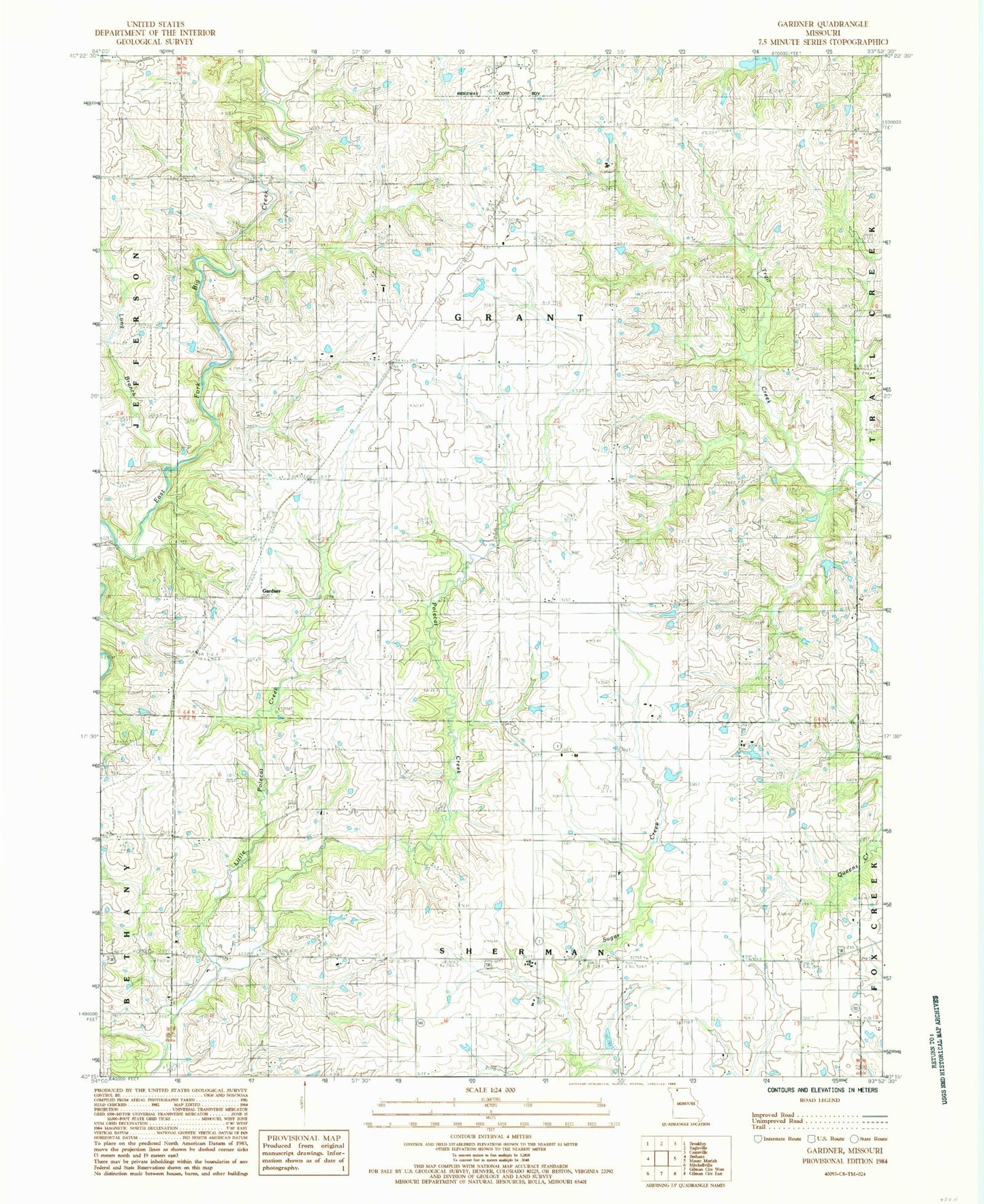
Classic USGS Gardner Missouri 7.5'x7.5' Topo Map
Couldn't load pickup availability
Historical USGS topographic quad map of Gardner in the state of Missouri. Map scale may vary for some years, but is generally around 1:24,000. Print size is approximately 24" x 27"
This quadrangle is in the following counties: Harrison.
The map contains contour lines, roads, rivers, towns, and lakes. Printed on high-quality waterproof paper with UV fade-resistant inks, and shipped rolled.
Contains the following named places: Fordyce Lake, Fordyce Lake Dam, Gardner, Green Castle School, Hallock Lake, Hallock Lake Dam, Harcomo Lake Dam, Harrison County, Hickory School, High Point School, Hunt School, Jesse Hale Lake, Kirkley Church, Liberty School, Linthacum Lake Dam North, Linthacum Lake Dam South, Little Polecat Creek, Long Branch, Mount Olive Church, Oak Grove School, Prairie Chapel, Sittner Lake, Sittner Lake Dam, Township of Grant, Walnut School, Yankee Ridge Cemetery, ZIP Code: 64481