MyTopo
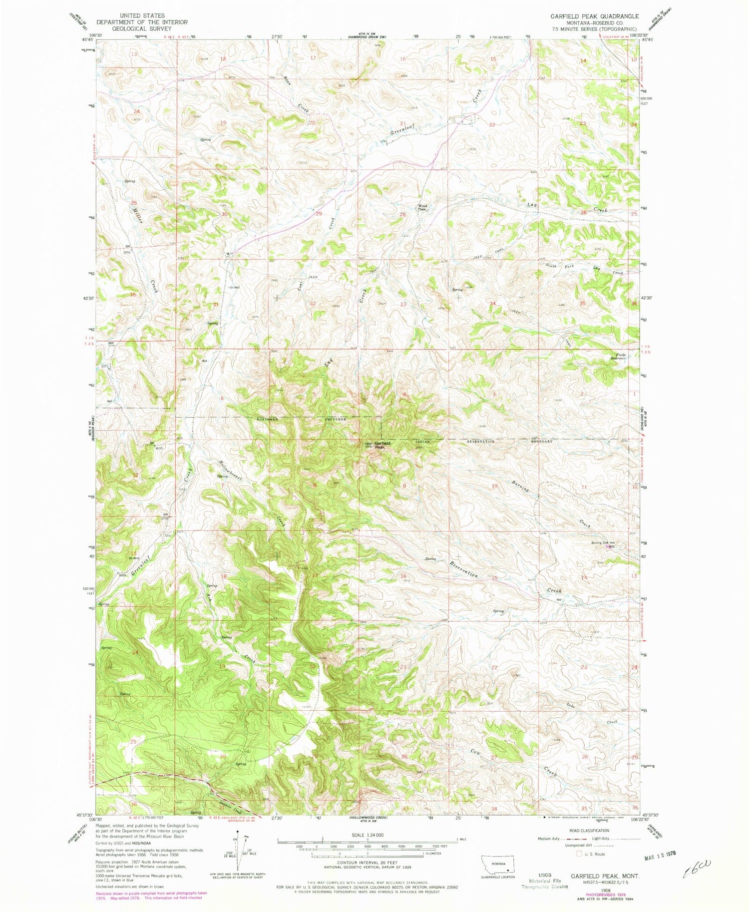
Classic USGS Garfield Peak Montana 7.5'x7.5' Topo Map
Couldn't load pickup availability
Historical USGS topographic quad map of Garfield Peak in the state of Montana. Map scale may vary for some years, but is generally around 1:24,000. Print size is approximately 24" x 27"
This quadrangle is in the following counties: Rosebud.
The map contains contour lines, roads, rivers, towns, and lakes. Printed on high-quality waterproof paper with UV fade-resistant inks, and shipped rolled.
Contains the following named places: 01S42E25BDAB01 Spring, 01S43E21CACD01 Well, 01S43E23BBBB01 Well, 01S43E27ADAD01 Well, 01S43E28DBAA01 Well, 01S43E29ACCC01 Well, 01S43E30DACA01 Well, 01S43E31CACD01 Spring, 01S43E32AABC01 Well, 01S43E33BDAA01 Well, 01S43E34BCBC01 Spring, 01S43E35AADB01 Well, 02S42E01BBAD01 Well, 02S42E01CACB01 Well, 02S43E02DBBD01 Well, 02S43E04ADDA01 Well, Ash Creek, Burning Coal Vein Area, Coal Creek, Fields Reservoir, Garfield Peak, Greenleaf School, Hollowbreast Creek, Wood Place


