MyTopo
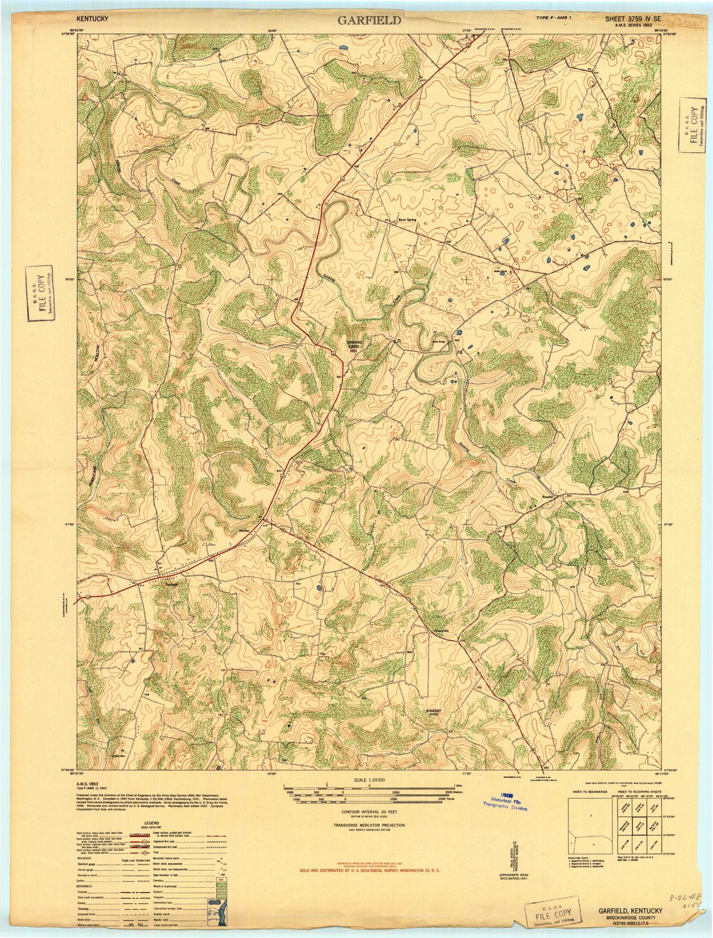
Classic USGS Garfield Kentucky 7.5'x7.5' Topo Map
Couldn't load pickup availability
Historical USGS topographic quad map of Garfield in the state of Kentucky. Map scale may vary for some years, but is generally around 1:24,000. Print size is approximately 24" x 27"
This quadrangle is in the following counties: Breckinridge.
The map contains contour lines, roads, rivers, towns, and lakes. Printed on high-quality waterproof paper with UV fade-resistant inks, and shipped rolled.
Contains the following named places: Basin Spring, Bethel Church, Blue Fork, Board Cemetery, Bruner Cemetery Number 1, Cedar Hill Cemetery, Dents Bridge, Garfield, Garfield Post Office, Graysville, Haynes Cemetery, Hensley, High Burning Ridge, Horseley Cemetery, Hurricane Hollow, Johnson Cemetery, Lost Run, Marr Cemetery, Pilot Ridge, Rosetta, Shumate Cemetery, Sinking Creek Hill, Somerset Knob, Stinnettsville, Stony Fork, Turpin Cemetery, Whitworth Cemetery, Woods Cemetery, ZIP Codes: 40140, 40146


