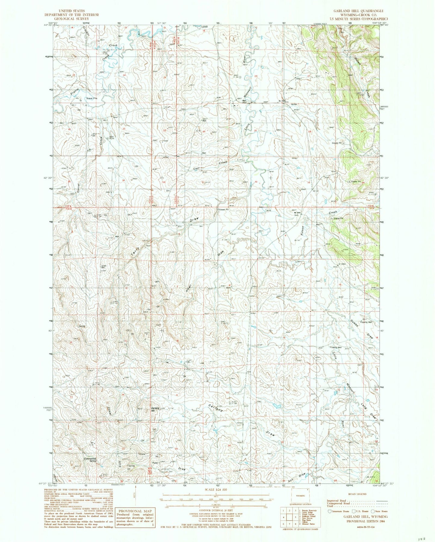
MyTopo
Classic USGS Garland Hill Wyoming 7.5'x7.5' Topo Map
Regular price
$16.95
Regular price
Sale price
$16.95
Unit price
per
Couldn't load pickup availability
Historical USGS topographic quad map of Garland Hill in the state of Wyoming. Map scale may vary for some years, but is generally around 1:24,000. Print size is approximately 24" x 27"
This quadrangle is in the following counties: Crook.
The map contains contour lines, roads, rivers, towns, and lakes. Printed on high-quality waterproof paper with UV fade-resistant inks, and shipped rolled.
Contains the following named places: Alkali Draw, Carr Creek, Corral Creek, Cottonwood Spring, Cracker Creek, Edsel Hills, Garland Draw, Garland Hill, Gumbo Draw, Long Draw, Poison Creek, Sand Spring, Terry Draw