MyTopo
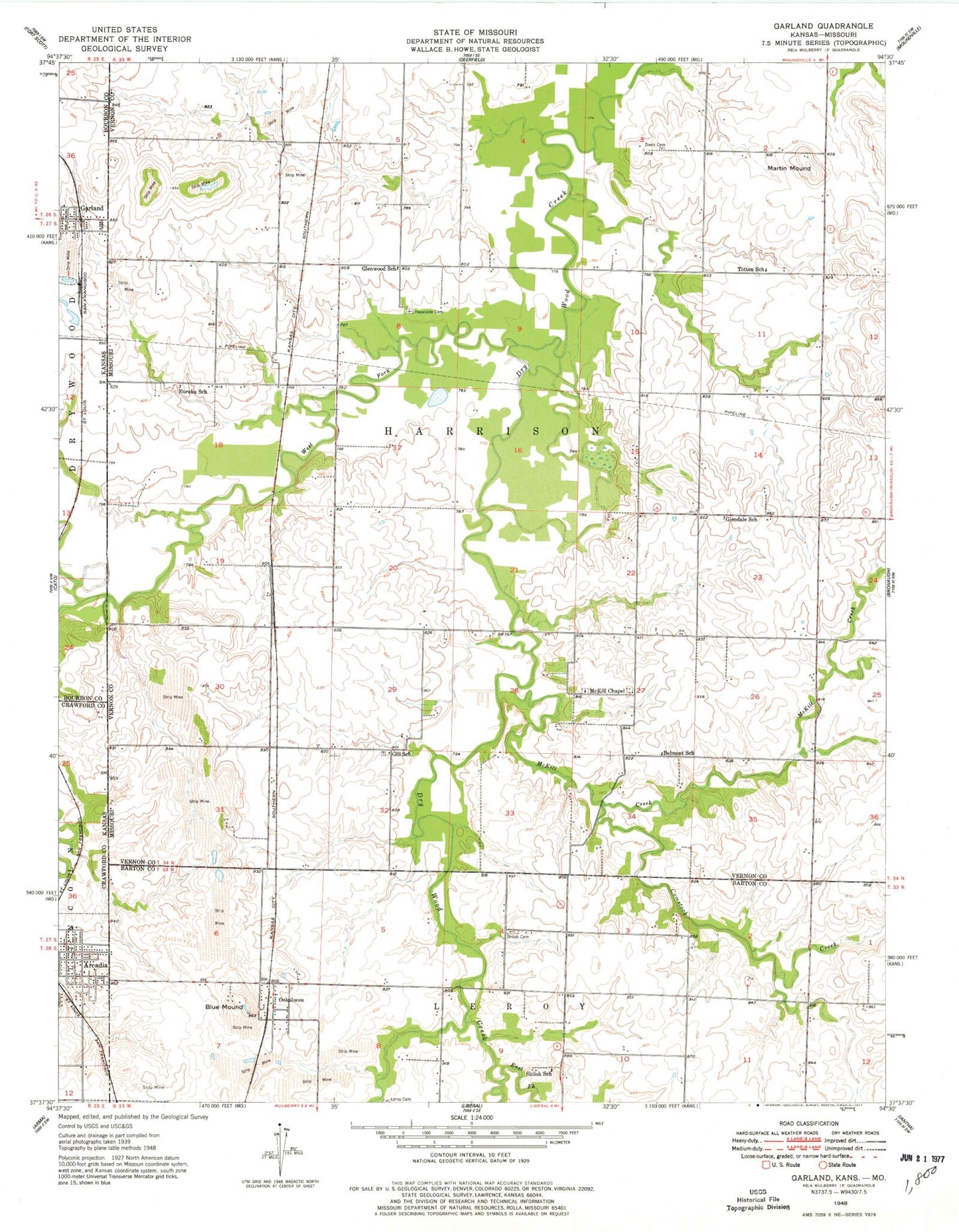
Classic USGS Garland Kansas 7.5'x7.5' Topo Map
Couldn't load pickup availability
Historical USGS topographic quad map of Garland in the states of Kansas, Missouri. Map scale may vary for some years, but is generally around 1:24,000. Print size is approximately 24" x 27"
This quadrangle is in the following counties: Barton, Bourbon, Crawford, Vernon.
The map contains contour lines, roads, rivers, towns, and lakes. Printed on high-quality waterproof paper with UV fade-resistant inks, and shipped rolled.
Contains the following named places: Arcadia, Arcadia Christian Church, Arcadia Post Office, Arcadia Volunteer Fire Department, Arcadia Wastewater Treatment Facility, Belmont School, Blue Mound, Buck Run, City of Arcadia, Comstock Creek, Cox Creek, Davis Cemetery, East Fork Dry Wood Creek, Eureka School, Garland, Garland Census Designated Place, Garland Rural Fire District 2, Gill Cemetery, Gill School, Glendale School, Glenwood School, Harris, Heavisides Cemetery, Le Roy, Le Roy Post Office, Leroy Cemetery, Martin Mound, Mc Kill Chapel Cemetery, McKill Chapel, McKill Creek, Oskaloosa, Oskaloosa Census Designated Place, Oskaloosa School, Ozark Gateway Planning Region, Shiloh Cemetery, Shiloh School, Steele Lake Dam, Totten School, Township of Harrison, West Fork Dry Wood Creek, ZIP Code: 64728


