MyTopo
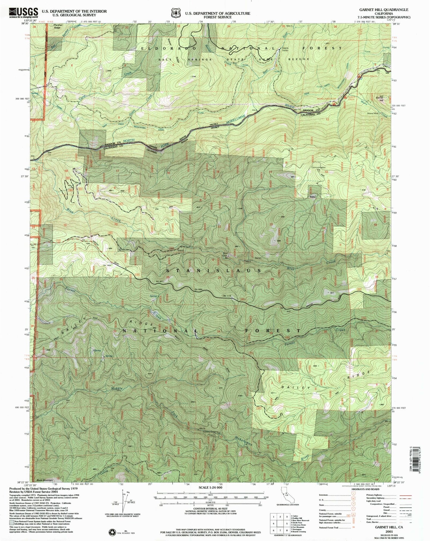
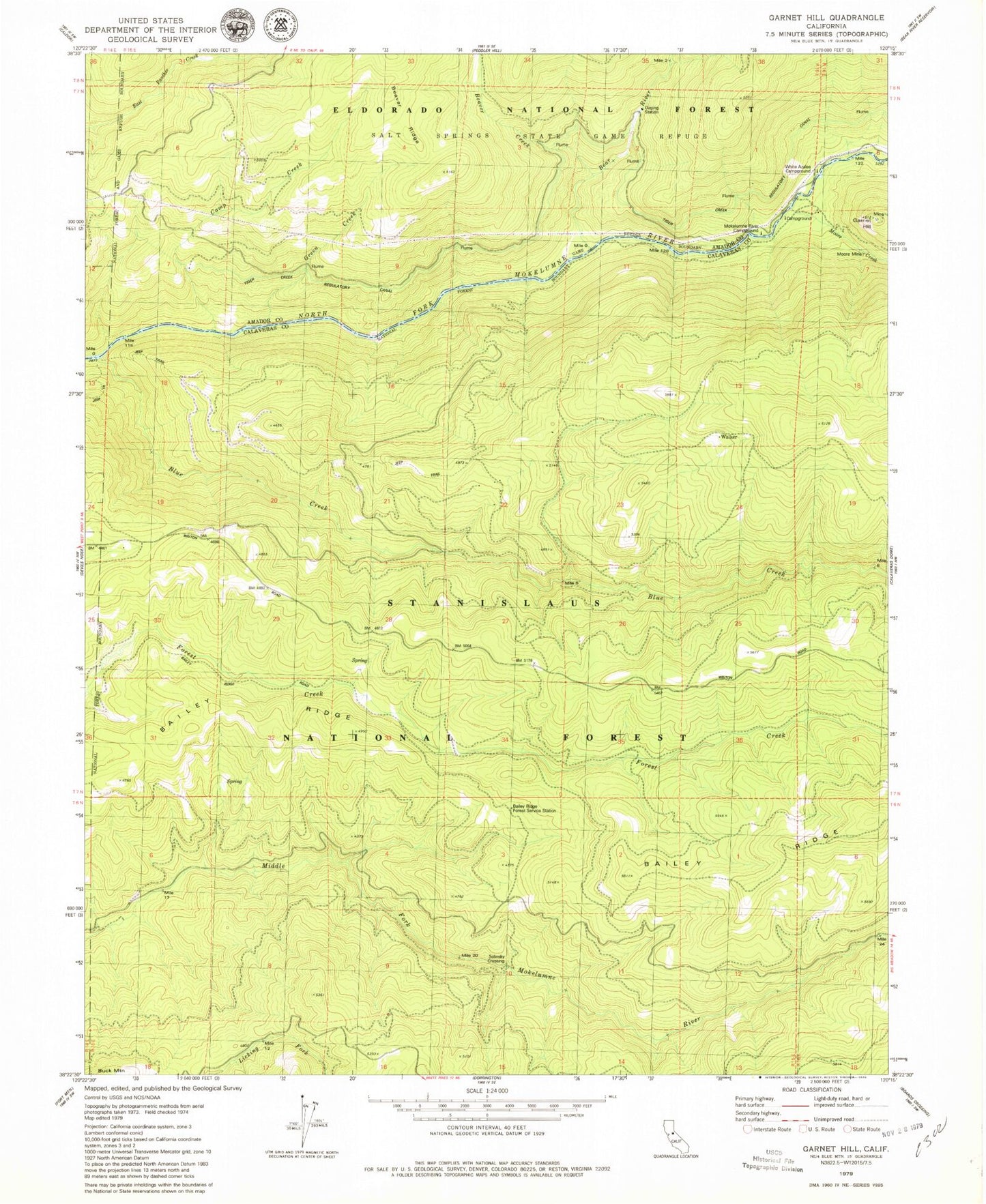
Classic USGS Garnet Hill California 7.5'x7.5' Topo Map
Couldn't load pickup availability
Historical USGS topographic quad map of Garnet Hill in the state of California. Map scale may vary for some years, but is generally around 1:24,000. Print size is approximately 24" x 27"
This quadrangle is in the following counties: Amador, Calaveras.
The map contains contour lines, roads, rivers, towns, and lakes. Printed on high-quality waterproof paper with UV fade-resistant inks, and shipped rolled.
Contains the following named places: Bailey Ridge Forest Service Station, Barnett, Bear River, Beaver Creek, Blue Creek, Bruce Crossing, Camp Creek, Folsom Guard Station, Folsom Lookout, Garnet Hill, Green Creek, Mokelumne River Campground, Moore Creek, Moore Creek Campground, Moore Mine, Salt Springs State Game Refuge, Solinsky Camp, Solinsky Crossing, Tiger Creek Regulatory Canal, White Azalea Campground