MyTopo
Classic USGS Garnet Mountain Arizona 7.5'x7.5' Topo Map
Regular price
$16.95
Regular price
Sale price
$16.95
Unit price
per
Couldn't load pickup availability
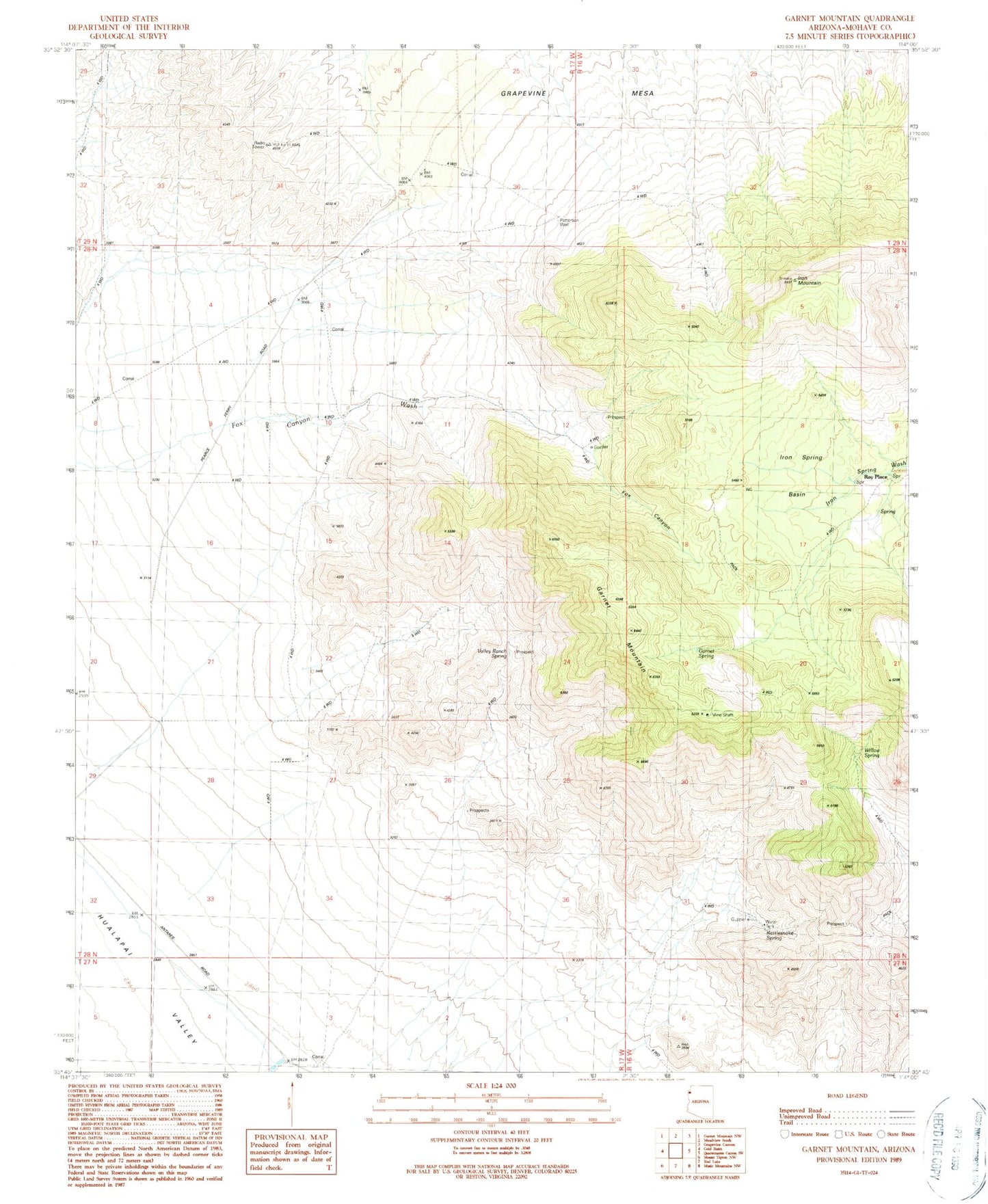
Historical USGS topographic quad map of Garnet Mountain in the state of Arizona. Map scale may vary for some years, but is generally around 1:24,000. Print size is approximately 24" x 27"
This quadrangle is in the following counties: Mohave.
The map contains contour lines, roads, rivers, towns, and lakes. Printed on high-quality waterproof paper with UV fade-resistant inks, and shipped rolled.
Contains the following named places: Fox Canyon, Garnet Mountain, Garnet Spring, Grapevine Mesa, Haulapai Valley Joshua Trees, Iron Mountain, Iron Spring Basin, Patterson Corral, Patterson Well, Rattlesnake Spring, Ray Place, Valley Ranch, Valley Ranch Spring, Willow Spring