MyTopo
Classic USGS Garns Mountain Idaho 7.5'x7.5' Topo Map
Couldn't load pickup availability
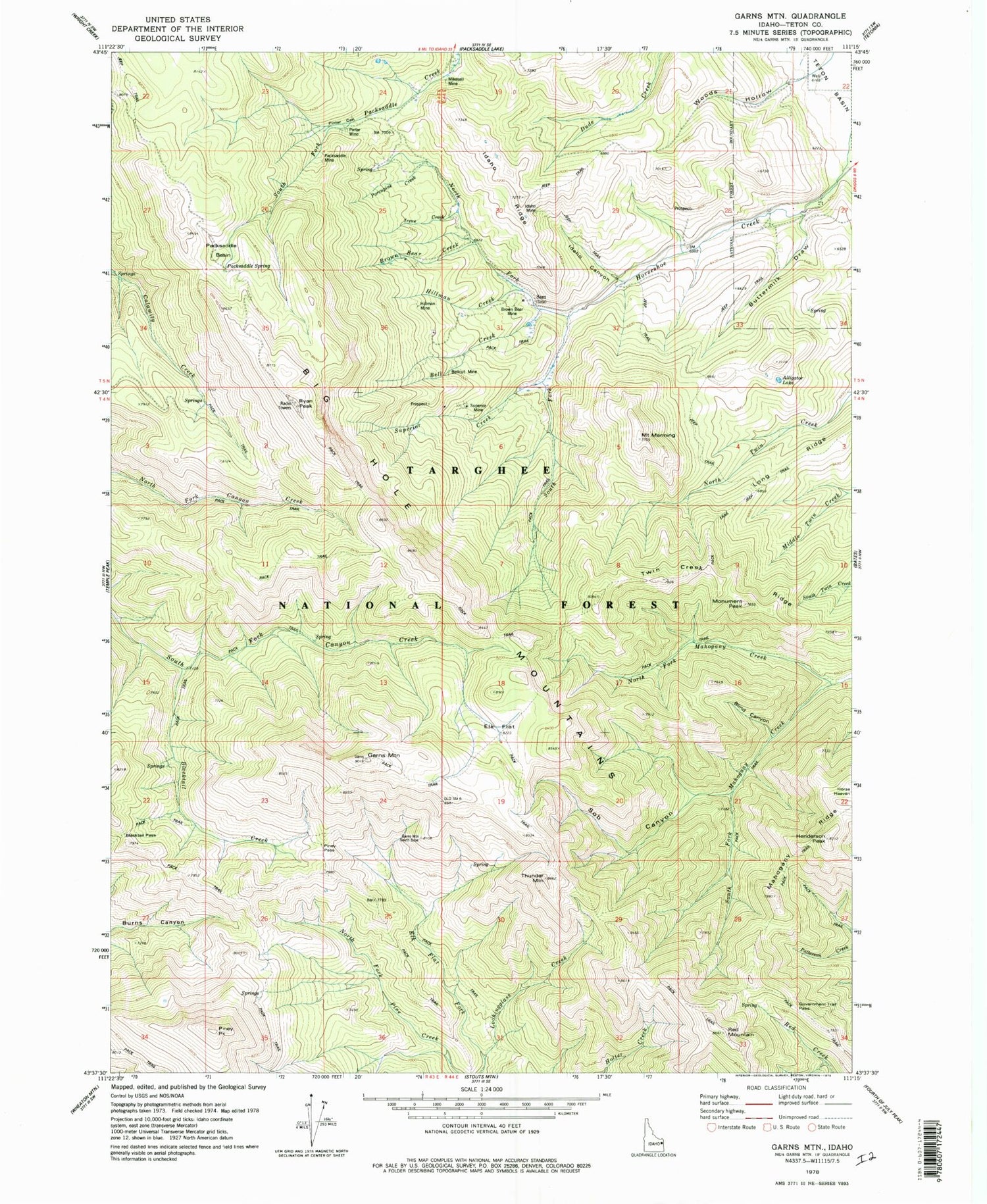
Historical USGS topographic quad map of Garns Mountain in the state of Idaho. Typical map scale is 1:24,000, but may vary for certain years, if available. Print size: 24" x 27"
This quadrangle is in the following counties: Teton.
The map contains contour lines, roads, rivers, towns, and lakes. Printed on high-quality waterproof paper with UV fade-resistant inks, and shipped rolled.
Contains the following named places: Alligator Lake, Bell Creek, Big Hole Mountains, Blacktail Creek, Blacktail Pass, Blind Canyon, Brown Bear Creek, Brown Bear Mine, Buck Spring, Buttermilk Draw, Castle Rock, Elk Flat, Elk Flat Fork, Garns Mountain, Government Trail Pass, Hillman Creek, Hillman Mine, Horse Heaven, Idaho Canyon, Idaho Mine, Idaho Ridge, Irene Creek, Mikesell Mine, North Fork Horseshoe Creek, North Fork Mahogany Creek, Packsaddle Basin, Packsaddle Mine, Packsaddle Spring, Piney Pass, Pintar Canyon, Pintar Mine, Porcupine Creek, Relay Ridge, Sob Canyon, South Fork Horseshoe Creek, South Fork Mahogany Creek, South Fork Packsaddle Creek, Superior Creek, Superior Mine, Woods Hollow, Long Ridge, Henderson Peak, Mount Manning, Monument Peak, Piney Peak, Red Mountain, Ryan Peak, Sam, Thunder Mountain, Twin Creek Ridge, Targhee National Forest, Driggs Division, Mahogany Ridge


