MyTopo
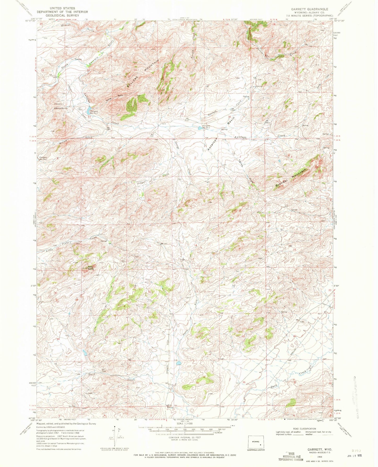
Classic USGS Garrett Wyoming 7.5'x7.5' Topo Map
Couldn't load pickup availability
Historical USGS topographic quad map of Garrett in the state of Wyoming. Map scale may vary for some years, but is generally around 1:24,000. Print size is approximately 24" x 27"
This quadrangle is in the following counties: Albany.
The map contains contour lines, roads, rivers, towns, and lakes. Printed on high-quality waterproof paper with UV fade-resistant inks, and shipped rolled.
Contains the following named places: Antelope Basin, Antelope Creek, Asbestos Spring, Brandel Mountain, Duck Creek Number 1 Dam, Duck Creek Reservoir, Fallas Draw, Garlock Creek, Garrett, Garrett Fire Zone Fire Department, George Creek, Kite Spring, M G Dam, Nipper Number One Claim, North Fork Duck Creek, Pinto Rocks, Prager Creek, Sellers Mountain, Sid Number 1 Dam, Sid Number 1 Reservoir, Spring Gulch, Sturgeon Number 3 Dam, Sturgeon Number 3 Reservoir, Sturgeon Reservoir Number 1, Sturgeon Reservoir Number 2, Wildcat Gulch, Willow Gulch