MyTopo
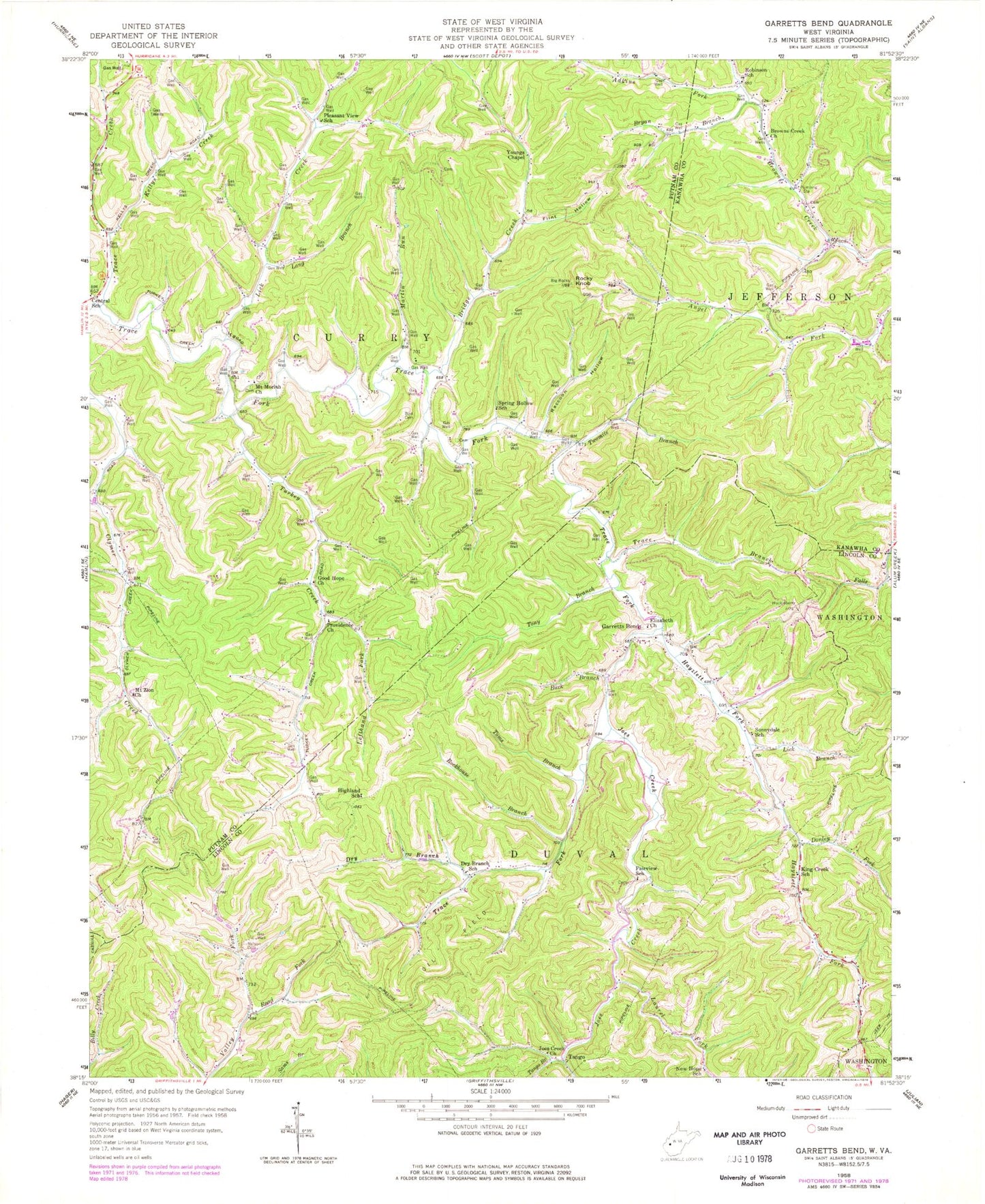
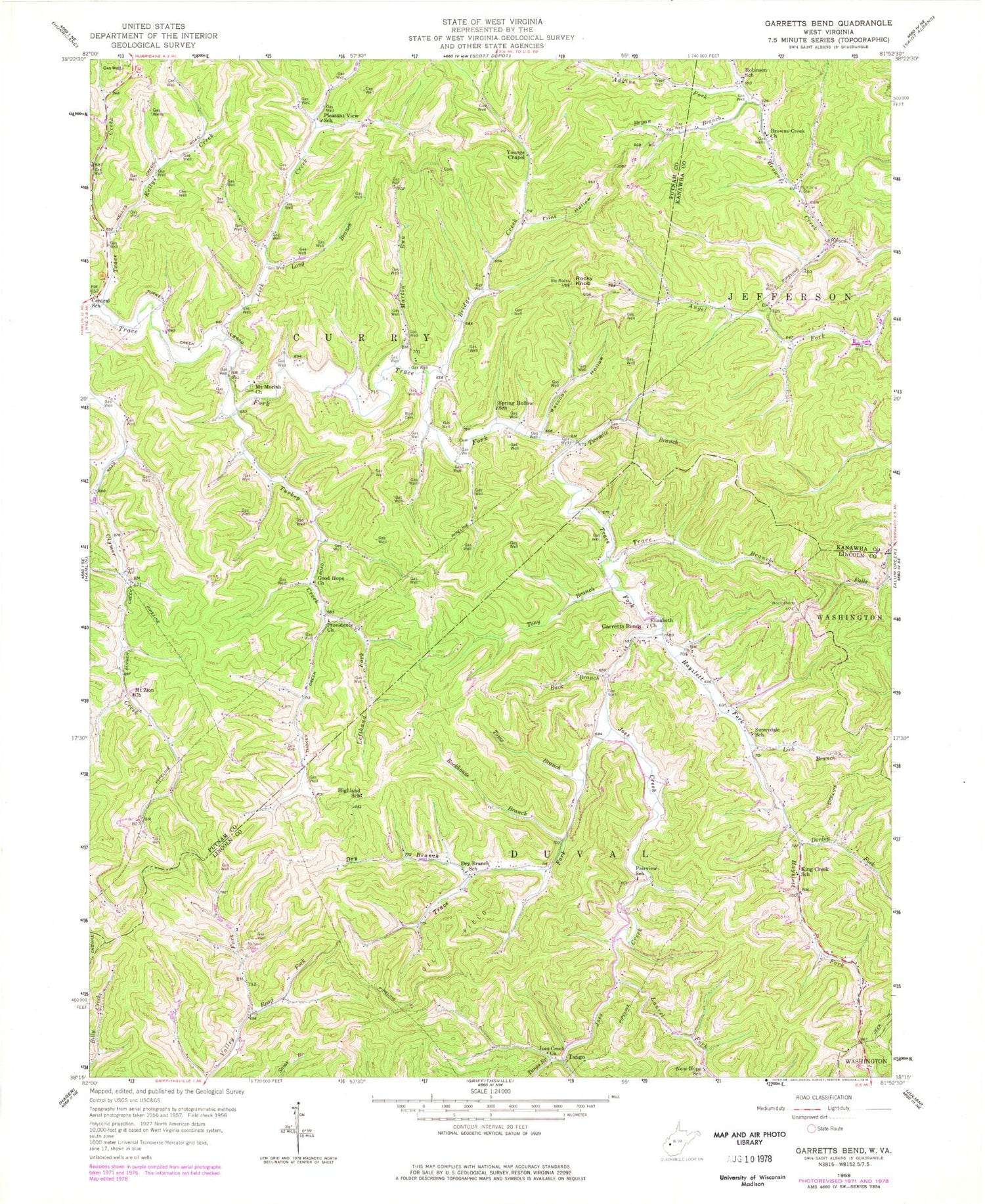
Classic USGS Garretts Bend West Virginia 7.5'x7.5' Topo Map
Couldn't load pickup availability
Historical USGS topographic quad map of Garretts Bend in the state of West Virginia. Typical map scale is 1:24,000, but may vary for certain years, if available. Print size: 24" x 27"
This quadrangle is in the following counties: Kanawha, Lincoln, Putnam.
The map contains contour lines, roads, rivers, towns, and lakes. Printed on high-quality waterproof paper with UV fade-resistant inks, and shipped rolled.
Contains the following named places: Adkins Fork, Bird Cemetery, Bridge Creek, Browns Creek Church, Bryan Branch, Buck Branch, Central School (historical), Donley Fork, Dry Branch, Dry Branch School (historical), Elizabeth Church, Fairview School (historical), Flint Hollow, Garretts Bend, Good Hope Church, Hayzlett Fork, Highland School (historical), Laurel Fork, Joes Creek, Joes Creek Church, Kellys Creek, King Creek School (historical), Lefthand Fork Turkey Creek, Lick Branch, Lick Creek, Long Branch, Martin Run, Mount Moriah Church, Mount Zion Church, Nelson Cemetery, New Hope School (historical), Pleasant View School (historical), Providence Church, Raccoon Hollow, Road Fork, Robinson School (historical), Rockhouse Branch, Rocky Knob, Sunnydale School (historical), Tango Branch, Toms Branch, Tony Branch, Trace Branch, Trace Creek, Turkey Creek, Twomile Branch, Youngs Chapel, Spring Hollow School (historical), Tango, Garretts Bend School (historical), Hilbert Wildlife Management Area, Tango School (historical), Curry District (historical), Watts Cemetery, Sanson Cemetery, Hayzlett Cemetery, Mount Moriah Cemetery, District 3


