MyTopo
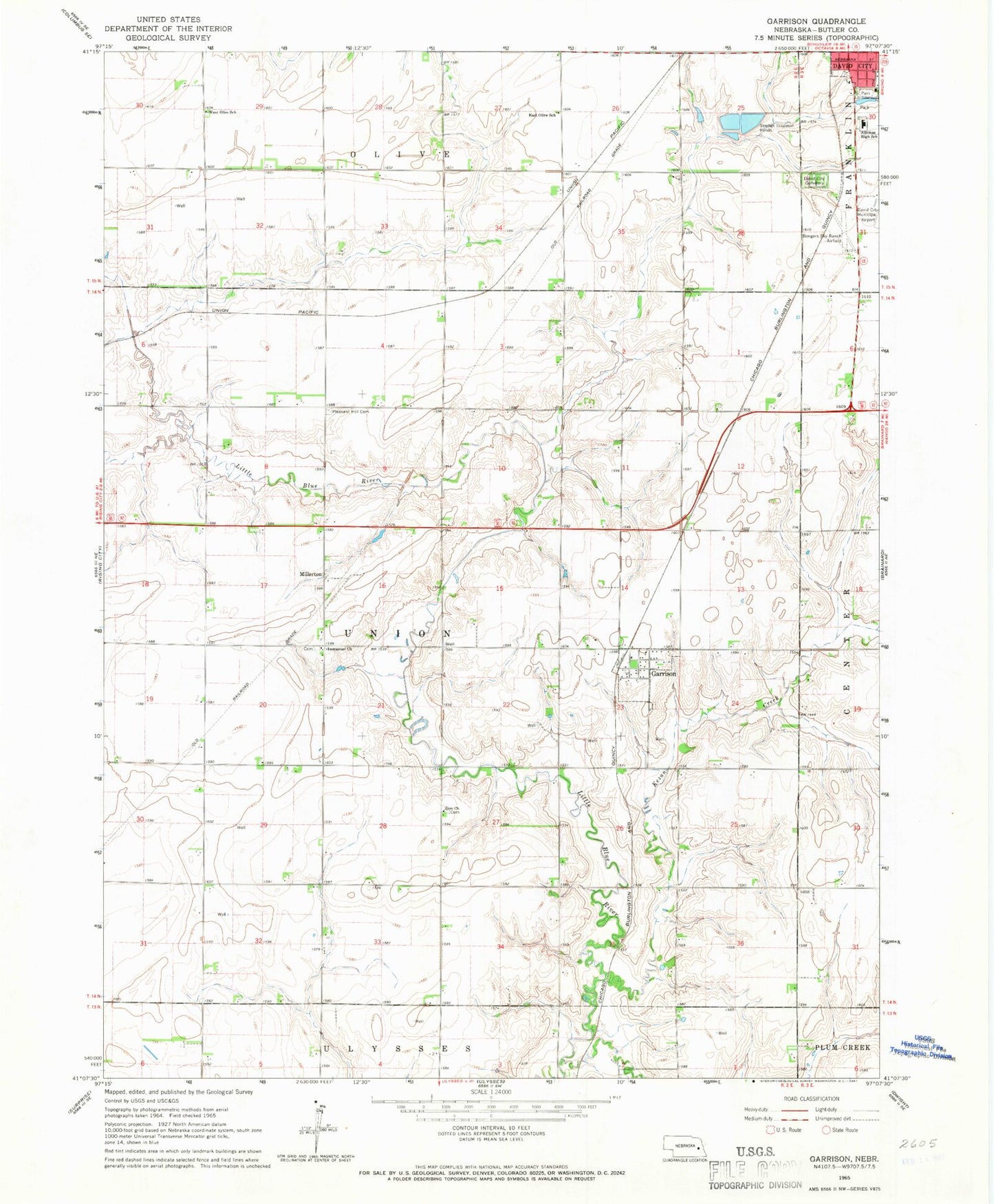
Classic USGS Garrison Nebraska 7.5'x7.5' Topo Map
Couldn't load pickup availability
Historical USGS topographic quad map of Garrison in the state of Nebraska. Map scale may vary for some years, but is generally around 1:24,000. Print size is approximately 24" x 27"
This quadrangle is in the following counties: Butler.
The map contains contour lines, roads, rivers, towns, and lakes. Printed on high-quality waterproof paper with UV fade-resistant inks, and shipped rolled.
Contains the following named places: Aquinas High School, Bongers Sky Ranch Airfield, Butler County, David City Cemetery, David City Municipal Airport, David City Park, David City Park Campground, East Olive School, Garrison, Garrison Post Office, Garrison Public School, Garrison Volunteer Fire Department, Grass Valley Farms, Immanuel Church, Kezan Creek, Lincoln Park, Millerton, Millerton Post Office, Pleasant Hill Cemetery, Township of Union, Village of Garrison, West Olive School, Zion Church, ZIP Code: 68632