MyTopo
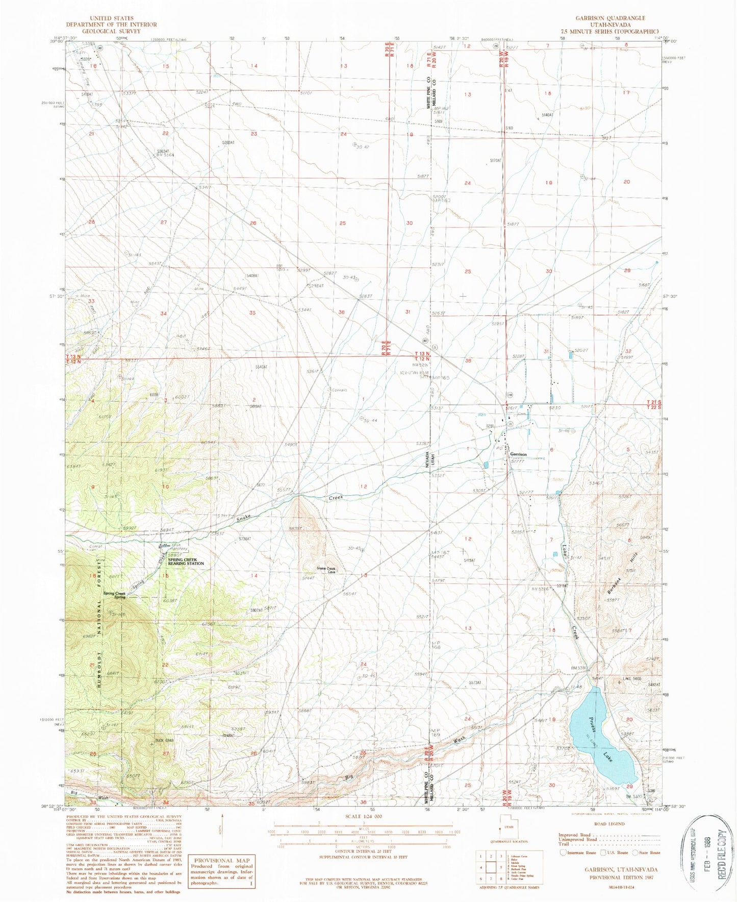
Classic USGS Garrison Utah 7.5'x7.5' Topo Map
Couldn't load pickup availability
Historical USGS topographic quad map of Garrison in the states of Utah, Nevada. Map scale may vary for some years, but is generally around 1:24,000. Print size is approximately 24" x 27"
This quadrangle is in the following counties: Millard, White Pine.
The map contains contour lines, roads, rivers, towns, and lakes. Printed on high-quality waterproof paper with UV fade-resistant inks, and shipped rolled.
Contains the following named places: Baker Landing Strip, Big Wash, Garrison, Garrison Airport, Garrison Cemetery, Garrison Elementary School, Garrison Post Office, Garrison Volunteer Fire Department, Lake Creek, Preuss Lake, Pruess Lake Dam, Snake Creek, Spring Creek, Spring Creek Rearing Station, Spring Creek Spring, The Church of Jesus Christ of Latter Day Saints