MyTopo
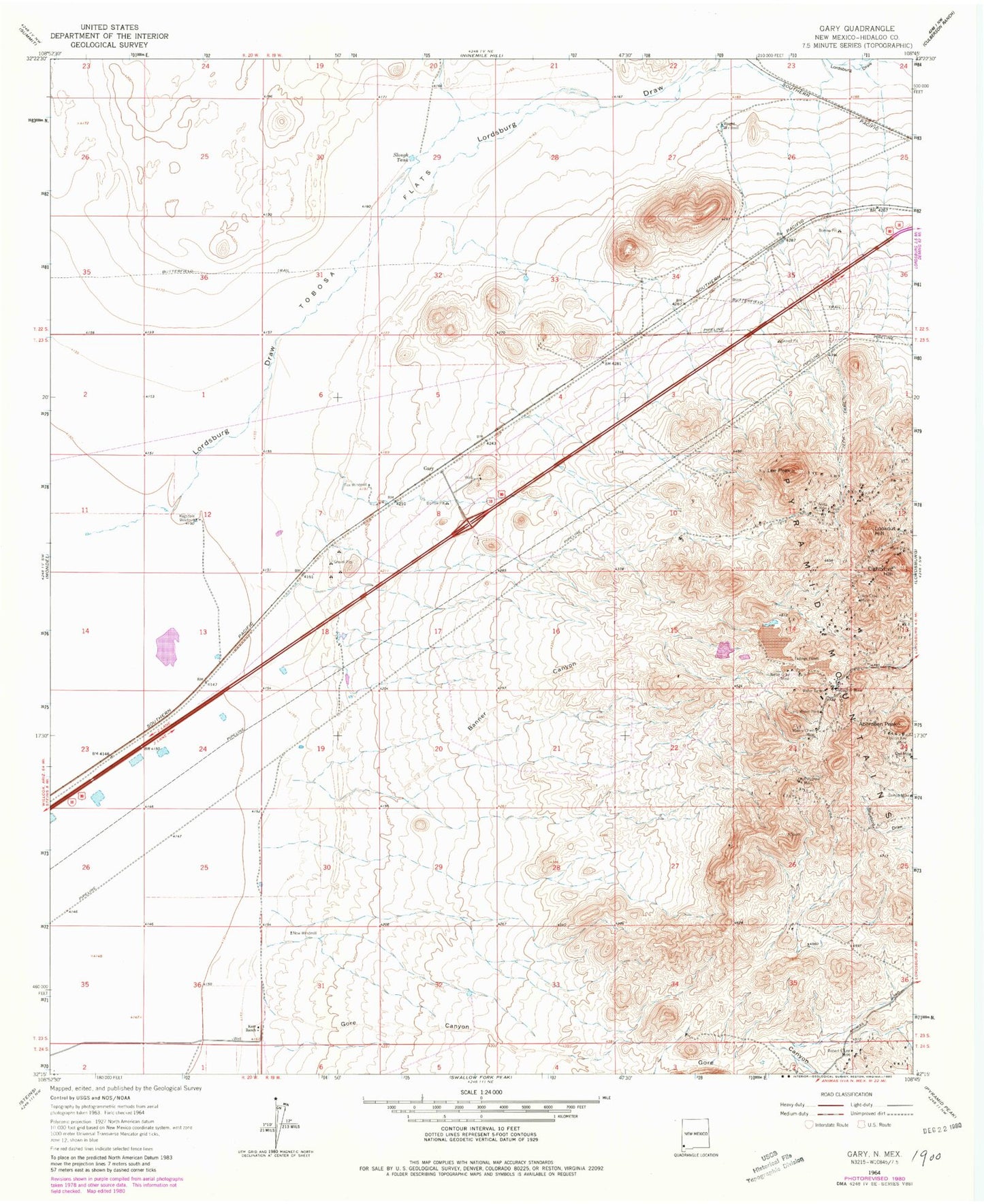
Classic USGS Gary New Mexico 7.5'x7.5' Topo Map
Couldn't load pickup availability
Historical USGS topographic quad map of Gary in the state of New Mexico. Map scale may vary for some years, but is generally around 1:24,000. Print size is approximately 24" x 27"
This quadrangle is in the following counties: Hidalgo.
The map contains contour lines, roads, rivers, towns, and lakes. Printed on high-quality waterproof paper with UV fade-resistant inks, and shipped rolled.
Contains the following named places: 10009 Water Well, Aberdeen Peak, Anita, Anita Mine, August, August Number Two, Banner Canyon, Banner Mine, Battleship, Beloit, Bisbee Lode, Bonnie Jean, Carbonate Hill Mine, Cobra Negra, Conrad, Copper Nugget Number 3 and 4 Mine, Duchess Lode, Eightyfive Hill, Excelsior Lode, Federal Resources Corporation Mine, Flourite Group Mine, Fox Windmill, Francis Kay, Francis Kay Mine, Gamco Mine, Gary, Goodnight Lode, Goodsight, Gore Canyon, Hobson Mine, Homestake Mine, Hope Faith and Charity Group Mine, Jim Crow Mine, Jim Crow Shaft, Johannesburg Lode, Johnson Lode, Kerr Ranch, Lead King, Lee Peak, Lookout Hill, Lordsburg Draw, Mikesell Group, Misers Chest Mine, Monteray Lode, Nellie Bly Mine, Nellie Gray Mine, New Windmill, North Hidalgo Division, Ophir Mining Claim, Oro Alta, Owl, Owl Mine, Polyanna Mine, Princess Lode, Ragsdale Windmill, Robert E Lee Mine, Ronney-Misers Chest and 85 Mine, Royal Lode, Schley, Search Lode, Slough Tank, South Alkali Flat, Summit Group, Tobosa Flats, Venice, Wedge, Winchester Lode, Wright Windmill


