MyTopo
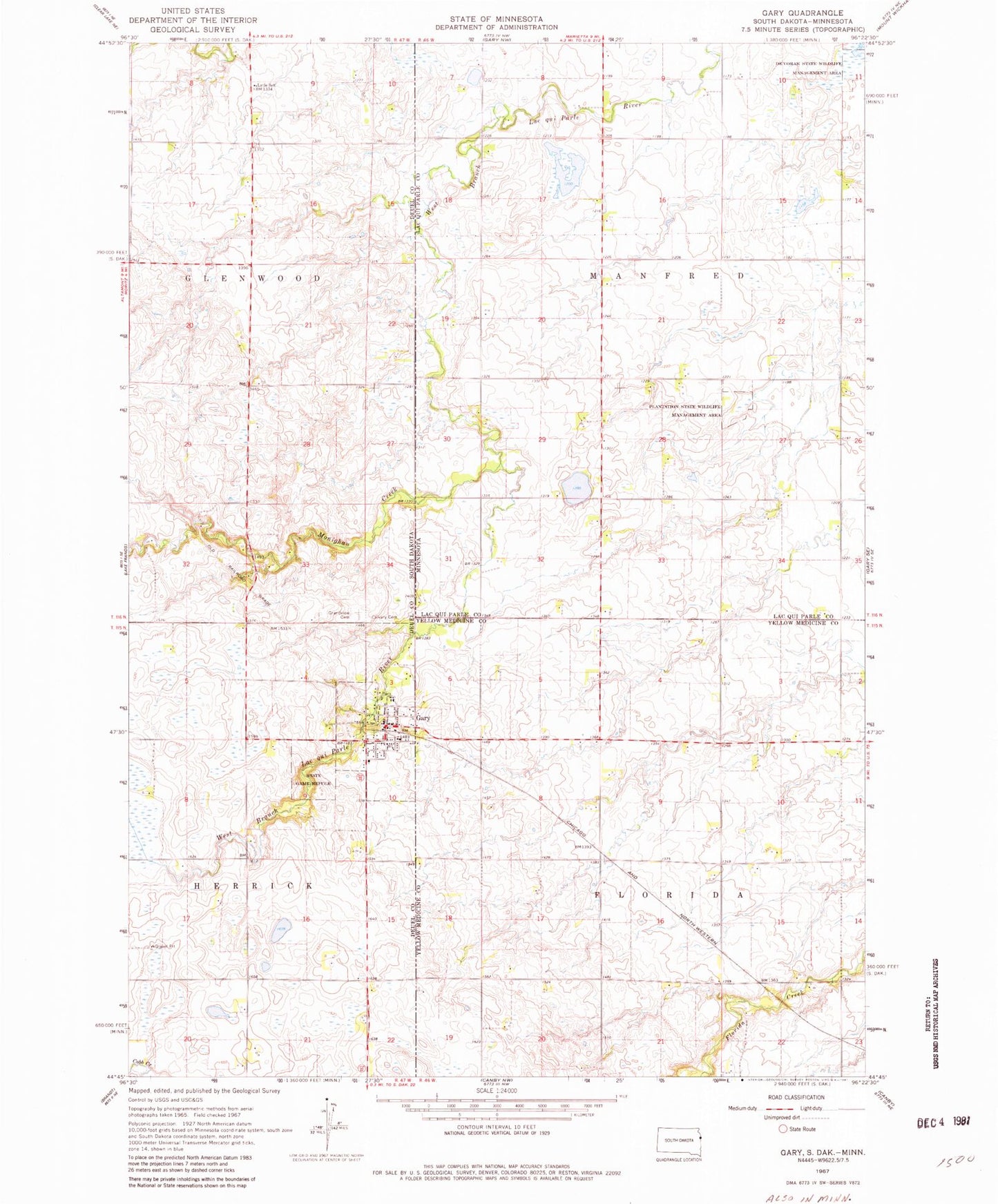
Classic USGS Gary South Dakota 7.5'x7.5' Topo Map
Couldn't load pickup availability
Historical USGS topographic quad map of Gary in the states of South Dakota, Minnesota. Map scale may vary for some years, but is generally around 1:24,000. Print size is approximately 24" x 27"
This quadrangle is in the following counties: Deuel, Lac qui Parle, Yellow Medicine.
The map contains contour lines, roads, rivers, towns, and lakes. Printed on high-quality waterproof paper with UV fade-resistant inks, and shipped rolled.
Contains the following named places: Calvary Cemetery, City of Gary, De vorak State Wildlife Management Area, Gary, Gary City Hall, Gary Fire Department, Gary Post Office, Gary Public Library, Grandview Cemetery, Lytle School, Monighan Creek, Plantation State Wildlife Management Area, Saint Peters Church, Township of Florida, Township of Manfred, William Webber Dam