MyTopo
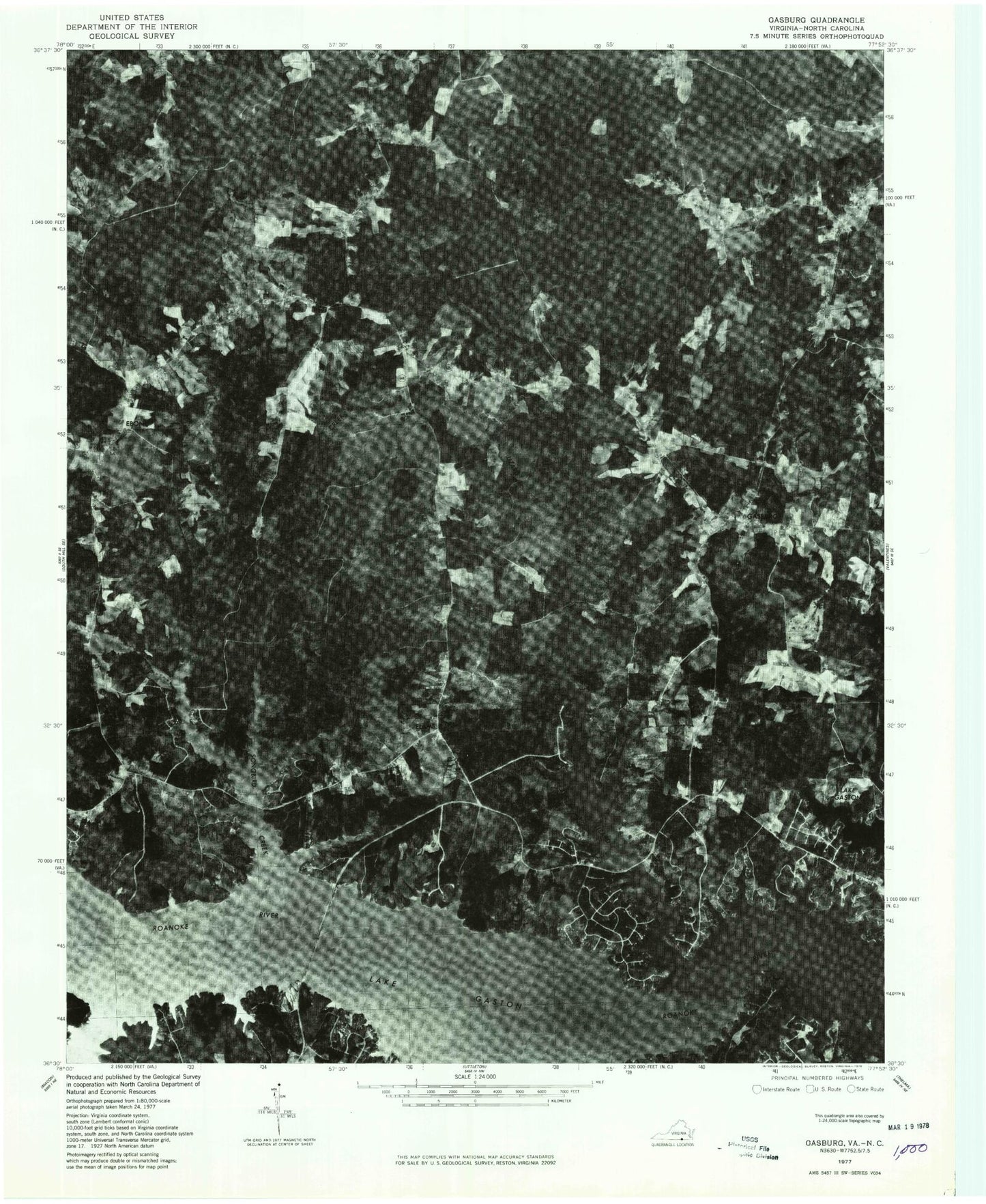
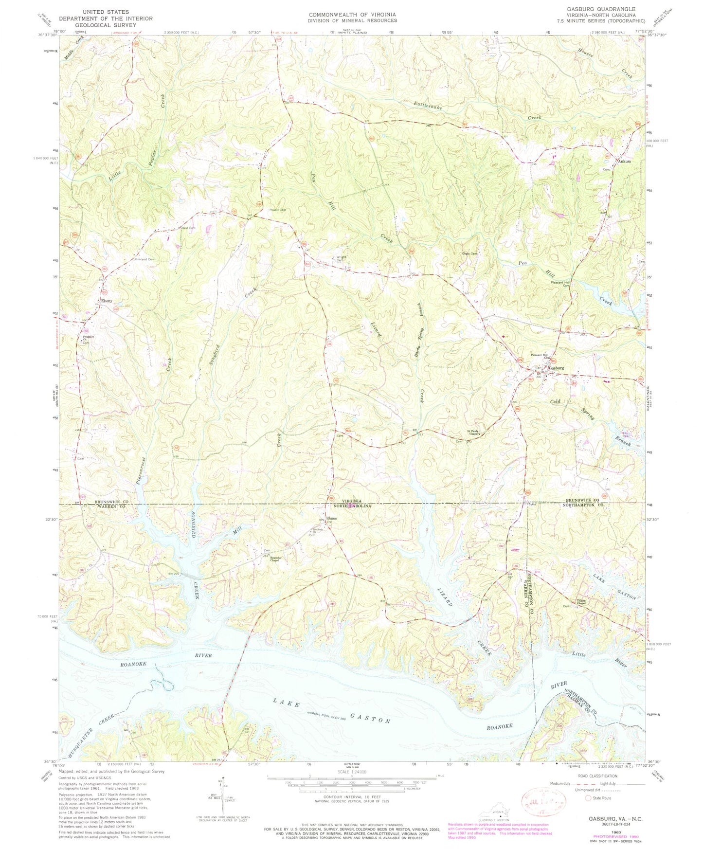
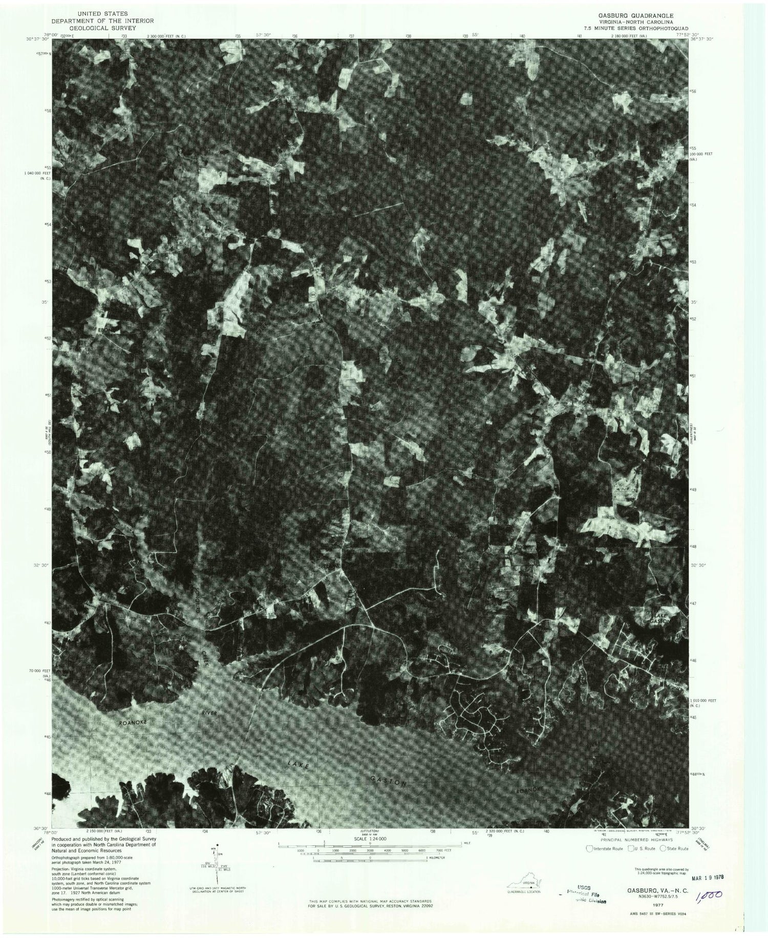
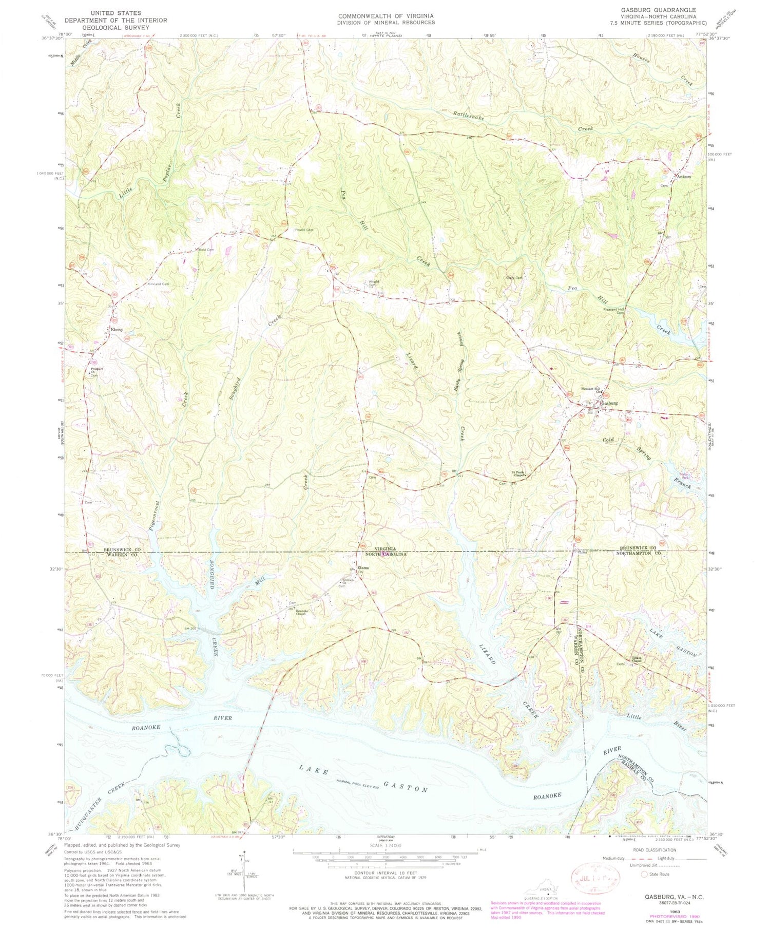
Classic USGS Gasburg Virginia 7.5'x7.5' Topo Map
Couldn't load pickup availability
Historical USGS topographic quad map of Gasburg in the states of Virginia, North Carolina. Typical map scale is 1:24,000, but may vary for certain years, if available. Print size: 24" x 27"
This quadrangle is in the following counties: Brunswick, Halifax, Northampton, Warren.
The map contains contour lines, roads, rivers, towns, and lakes. Printed on high-quality waterproof paper with UV fade-resistant inks, and shipped rolled.
Contains the following named places: Clary Cemetery, Hardy Spring Branch, Kirkland Cemetery, Pleasant Hill Cemetery, Pleasant Hill Church, Powell Cemetery, Prospect Church, Reid Cemetery, Saint Pauls Chapel, Ebony, Gasburg, Oak Corner, Prospect Cemetery, Ankum, Gasburg Volunteer Fire Department, Ebony Volunteer Fire Department, Ebony Census Designated Place, Ebony Post Office, Gasburg Post Office, Antioch Church, Hubquarter Creek, Lizard Creek, Mill Creek, Pigeonroost Creek, Roanoke Chapel, Songbird Creek, Tillans Chapel, Elams, Township of Roanoke, Roanoke - Wildwood Volunteer Fire Department


