MyTopo
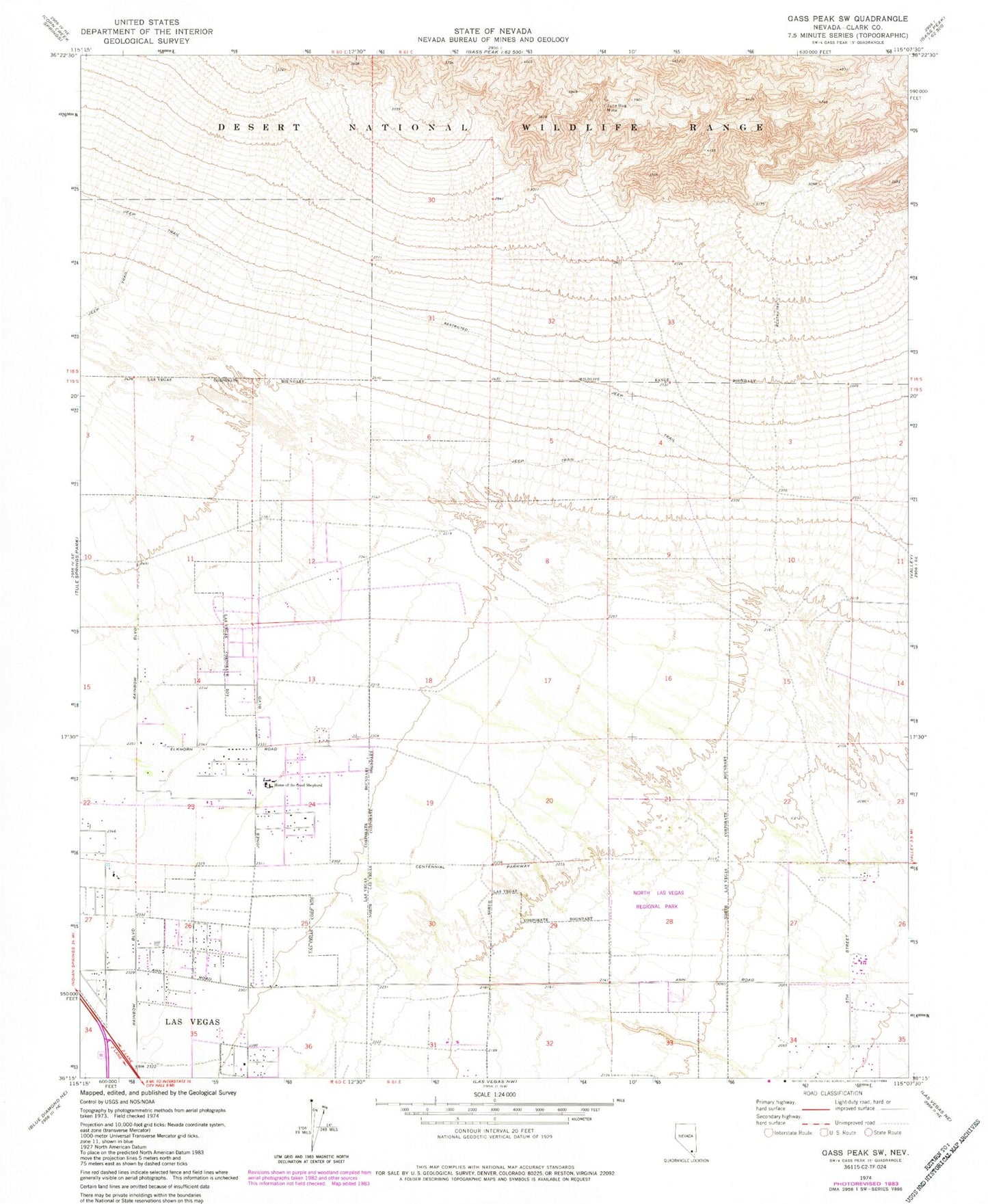
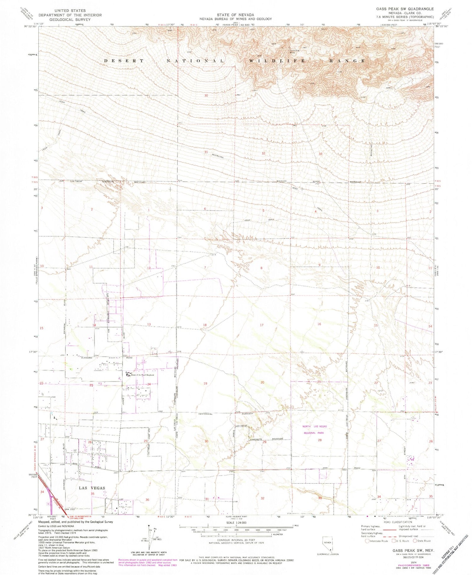
Classic USGS Gass Peak SW Nevada 7.5'x7.5' Topo Map
Couldn't load pickup availability
Historical USGS topographic quad map of Gass Peak SW in the state of Nevada. Map scale may vary for some years, but is generally around 1:24,000. Print size is approximately 24" x 27"
This quadrangle is in the following counties: Clark.
The map contains contour lines, roads, rivers, towns, and lakes. Printed on high-quality waterproof paper with UV fade-resistant inks, and shipped rolled.
Contains the following named places: Addeliar Guy Elementary School, Anthony Saville Middle School, Candil Hall Early Childhood Education Center, Clifford O Findlay Middle School, Cram Middle School, Crossroads Post Office, Double I J Ranch, Eldorado Park, Eldorado Village Shopping Center, Ernest May Elementary School, Eva G Simmons Elementary School, Eva Wolfe Elementary School, Fredric W Watson Elementary School, Gass Peak Mining District, Gilcrease Ranch, Goynes Park, Home of the Good Shepherd, Howard Heckethorn Elementary School, Joseph M Neal Elementary School, June Bug Mine, Kay Carl Elementary School, Kinder Prep Academy, Lamb of God Lutheran Church, Lamb of God Lutheran School, Lee Antonello Elementary School, Lied STEM Academy, Living Gospel Baptist Church, Mojave High School, North Las Vegas Fire Department Station 54, North Las Vegas Fire Department Station 55, North Las Vegas Fire Department Station 56, North Las Vegas Regional Park, North Las Vegas Washburn Community Police Facility, Parsons Peace Academy of Ministry and Performing Arts, Regional Park, Saint Judes School-Good Shepherd, Seastrand Community Park, Shadow Ridge High School, Sonrise Community Church, Steve Cozine Elementary School, Theron H and Naomi D Goynes Elementary School, ZIP Codes: 89031, 89084, 89085, 89130, 89131


