MyTopo
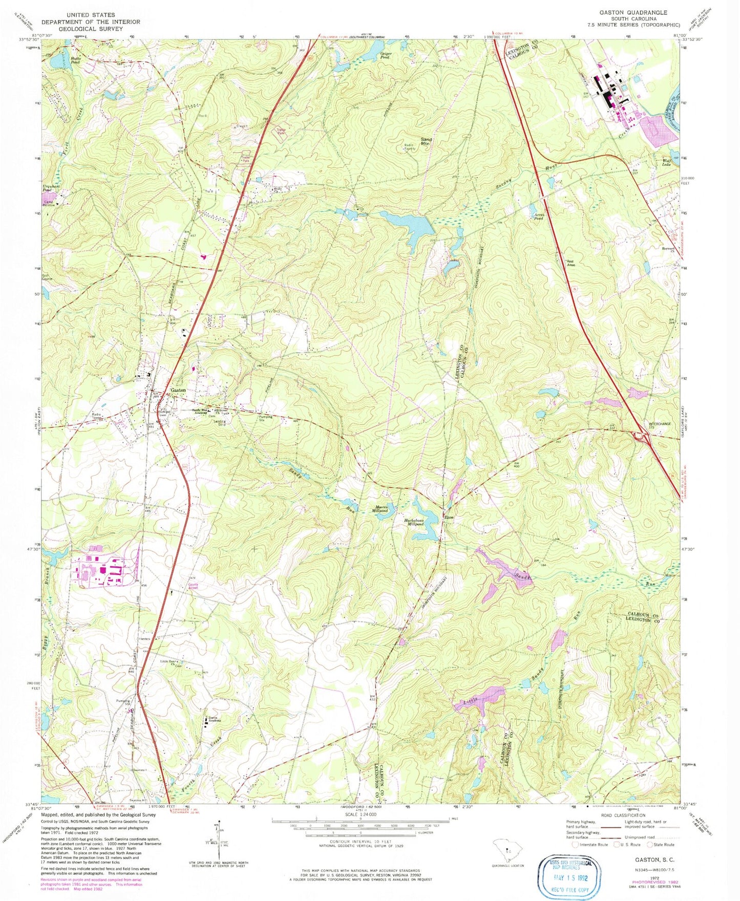
Classic USGS Gaston South Carolina 7.5'x7.5' Topo Map
Couldn't load pickup availability
Historical USGS topographic quad map of Gaston in the state of South Carolina. Map scale may vary for some years, but is generally around 1:24,000. Print size is approximately 24" x 27"
This quadrangle is in the following counties: Calhoun, Lexington, Richland.
The map contains contour lines, roads, rivers, towns, and lakes. Printed on high-quality waterproof paper with UV fade-resistant inks, and shipped rolled.
Contains the following named places: Acres Pond, Athens Church, Athens School, Boozer Lower Pond, Boozer Lower Pond Dam D-2922, Calmont Pond, Calmont Pond Dam D-2672, Camp Barstow, Carolina Eastman Waste Pond, Community Church, Dixon Pond, Dixon Pond Dam D-0996, Enos, Frances Mack Elementary School, Gaston, Gaston Airport, Geiger Pond, Hill Number One Pond, Hill Number One Pond Dam D-2669, Hillcrest Church, Hills Number Two Pond, Hills Number Two Pond Dam D-2667, Huckabaas Mill, Huckabaas Millpond, Huckabee School, Hutto Pond, Lackland Pond, Lackland Pond Dam D-2670, Lexington Acres Pond, Lexington County Fire Service Gaston Station 12, Lexington County Fire Service Station 18, Lexington-Calhoun School, Little Sandy Run, Little Zion Church, Moores Mill, Moores Millpond, North Fork Sandy Run, Sand Mountain, Sandy Run Academy, Sandy Run Church, South Carolina Noname 09045 D-2924 Dam, South Carolina Noname 32001 D-0993 Dam, South Carolina Noname 32016 D-0988 Dam, South Carolina Noname 32017 D-0989 Dam, South Carolina Noname 32037 D-0995 Dam, South Carolina Noname 32039 D-0992 Dam, South Carolina Noname 32082 D-1295 Dam, State Church, State-Record Pond, Sulton Pond, Sulton Pond Dam D-2671, Swansea Division, Town of Gaston, Travis Academy, Urquhart Pond, ZIP Code: 29053


