MyTopo
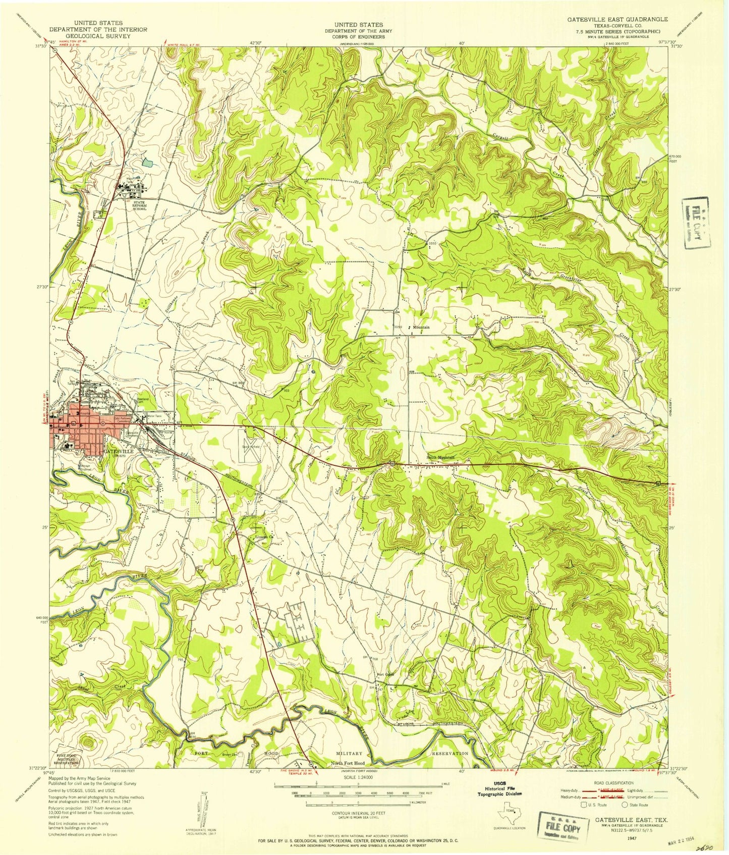
Classic USGS Gatesville East Texas 7.5'x7.5' Topo Map
Couldn't load pickup availability
Historical USGS topographic quad map of Gatesville East in the state of Texas. Map scale may vary for some years, but is generally around 1:24,000. Print size is approximately 24" x 27"
This quadrangle is in the following counties: Coryell.
The map contains contour lines, roads, rivers, towns, and lakes. Printed on high-quality waterproof paper with UV fade-resistant inks, and shipped rolled.
Contains the following named places: Berean Church, Bethlehem Church, Brown Cemetery, Calvary Temple Pentecostal Church of God, Cedar Grove Church, Cedar Ridge Church, City of Gatesville, Clear Creek, Coryell County Activity Complex, Coryell County Museum, Coryell Valley Cemetery, Eastwood Baptist Church, Faith of Abraham Church of God, Fauntleroy Park, First Presbyterian Church, Fort Gates, Fort Gates Cemetery, Fourmile Branch, Friendship Church, Gatesville, Gatesville City Hall, Gatesville Division, Gatesville Elementary School, Gatesville High School, Gatesville Intermediate School, Gatesville Junior High School, Gatesville Police Department, Gatesville Post Office, Gatesville Primary School, Gatesville State School for Boys, Gatesville Volunteer Fire Department, Gateway Church, Greenbriar Cemetery, Kercho Lake, Kercho Lake Dam, KRYL-FM (Gatesville), Liveoak Church, Main Street Church of Christ, McGregor Airport, Mountain, Oak Grove Cemetery, Odd Fellows Cemetery, Our Lady of Lourdes Catholic Church, Peni-Bilt Dam, Peni-Bilt Lake, Powell Cemetery, Raby Park, Restland Cemetery, Shoal Creek, South Mountain, Sweet Home Church, Texas Department of Criminal Justice Alfred D Hughes Unit, Texas Department of Criminal Justice Christina Melton Crain Unit, Texas Department of Criminal Justice Doctor Lane Murray Unit, Texas Department of Criminal Justice Hilltop Unit, Texas Department of Criminal Justice Linda Woodman State Jail, Texas Department of Criminal Justice Mountain View Unit, Town of South Mountain, Turnover Creek, ZIP Codes: 76596, 76597, 76598, 76599


