MyTopo
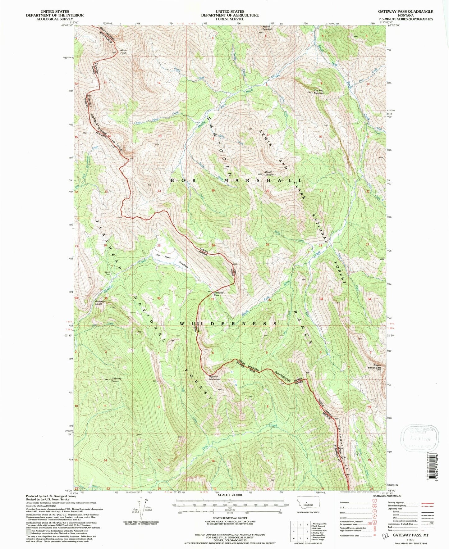
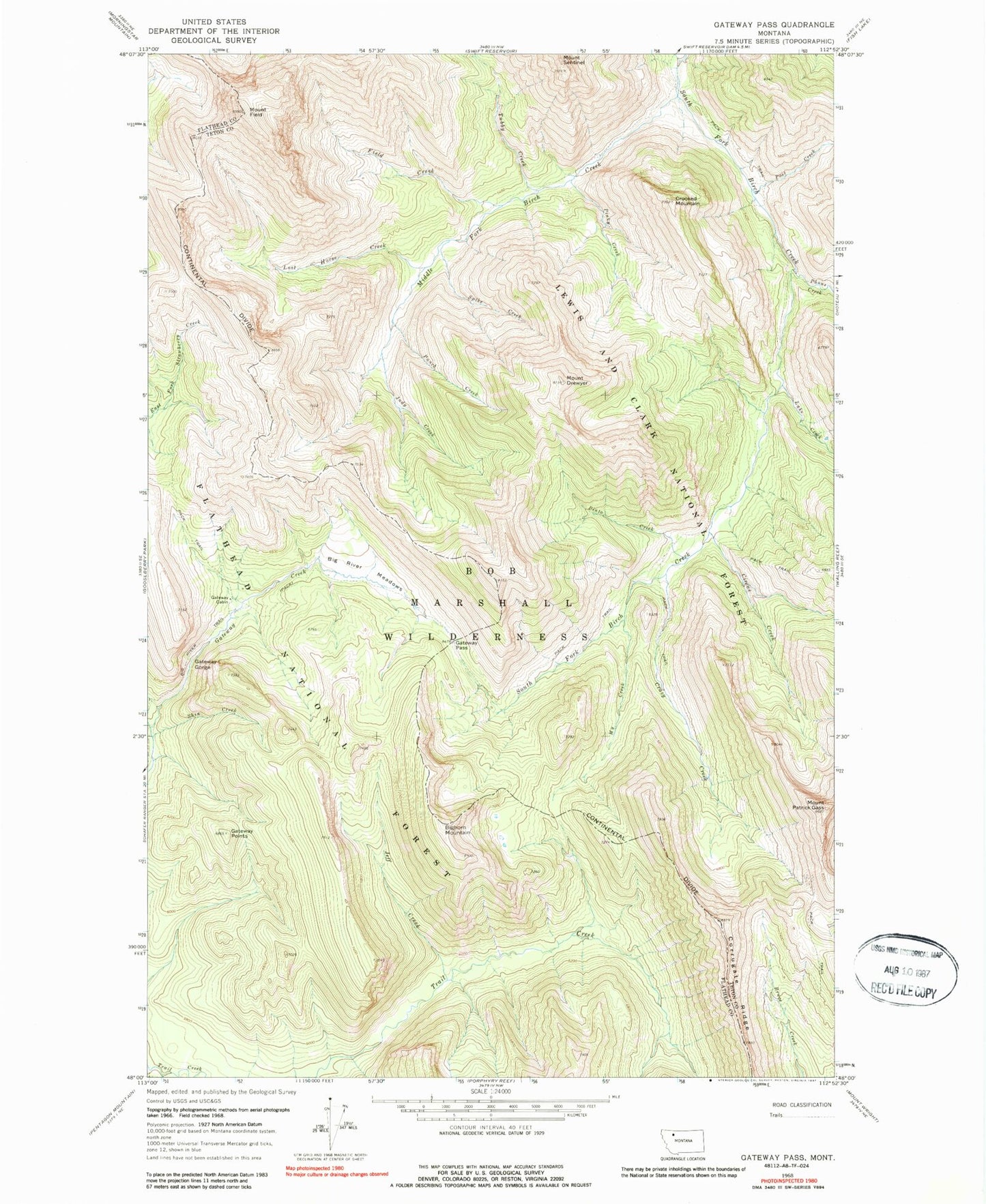
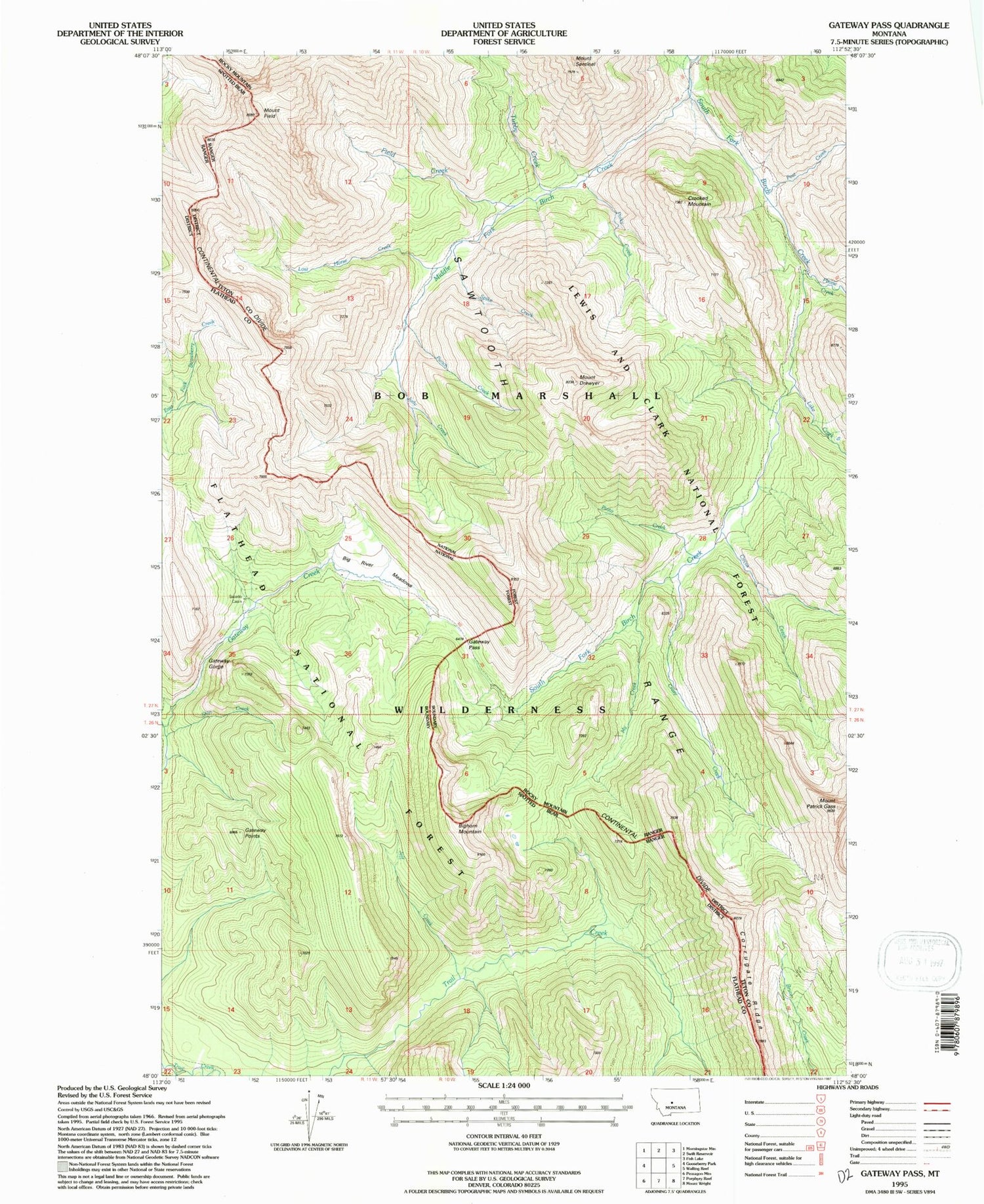
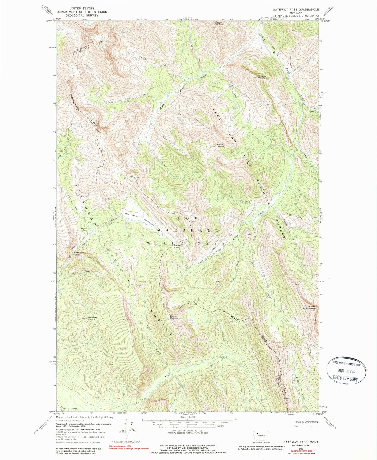
Classic USGS Gateway Pass Montana 7.5'x7.5' Topo Map
Couldn't load pickup availability
Historical USGS topographic quad map of Gateway Pass in the state of Montana. Typical map scale is 1:24,000, but may vary for certain years, if available. Print size: 24" x 27"
This quadrangle is in the following counties: Flathead, Teton.
The map contains contour lines, roads, rivers, towns, and lakes. Printed on high-quality waterproof paper with UV fade-resistant inks, and shipped rolled.
Contains the following named places: Big River Meadows, Bighorn Mountain, Circus Creek, Corrugate Ridge, Crazy Creek, Crooked Mountain, Field Creek, Mount Field, Gateway Cabin, Gateway Gorge, Gateway Pass, Gateway Points, Jeff Creek, Judy Creek, Lake Creek, Lost Horse Creek, Middle Fork Birch Creek, Mount Drouillard, Mount Patrick Gass, My Creek, Phone Creek, Pinky Creek, Pinto Creek, Post Creek, Punch Creek, Shin Creek, South Fork Trail Creek, Spike Creek, Tubby Creek, Sawtooth Range


