MyTopo
Classic USGS Gautier South Mississippi 7.5'x7.5' Topo Map
Couldn't load pickup availability
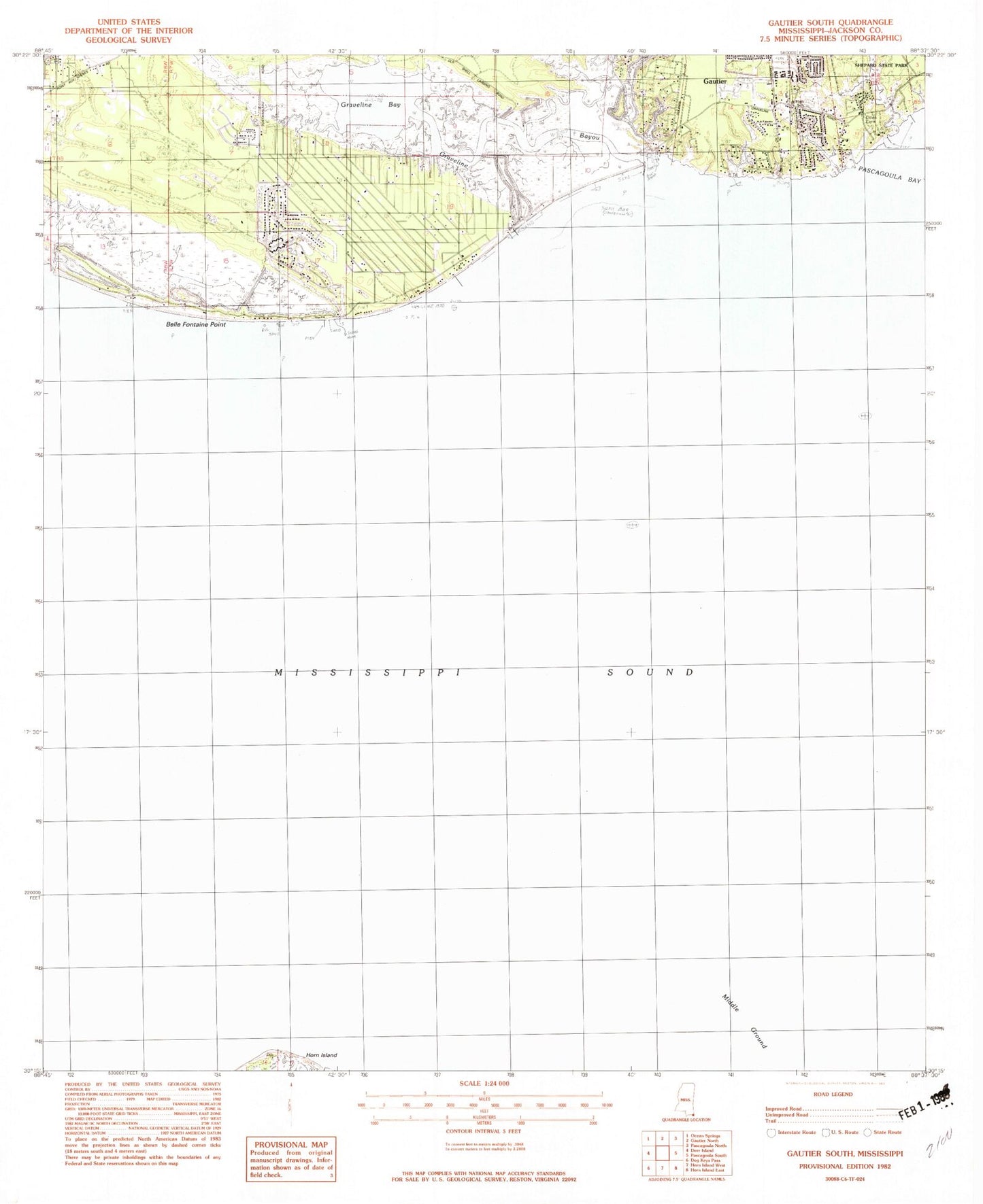
Historical USGS topographic quad map of Gautier South in the state of Mississippi. Map scale may vary for some years, but is generally around 1:24,000. Print size is approximately 24" x 27"
This quadrangle is in the following counties: Jackson.
The map contains contour lines, roads, rivers, towns, and lakes. Printed on high-quality waterproof paper with UV fade-resistant inks, and shipped rolled.
Contains the following named places: Bacot Park, Belle Fontaine Point, Bethel Cemetery, Bethel Church, Camp Lamotte, Central Jackson County Fire Department Station 1, Coast Meadows Mobile Home Park, Fountainbleau Volunteer Fire Department, Gautier Fire Department South Station, Gautier Junior High School, Graveline Bay, Graveline Bayou, Graveline Bayou Boat Ramp, Gulf Park Estates Fire Department Station 1, Middle Ground, Saint Andrews Golf Course, Southside Baptist Church, Supervisor District 5


