MyTopo
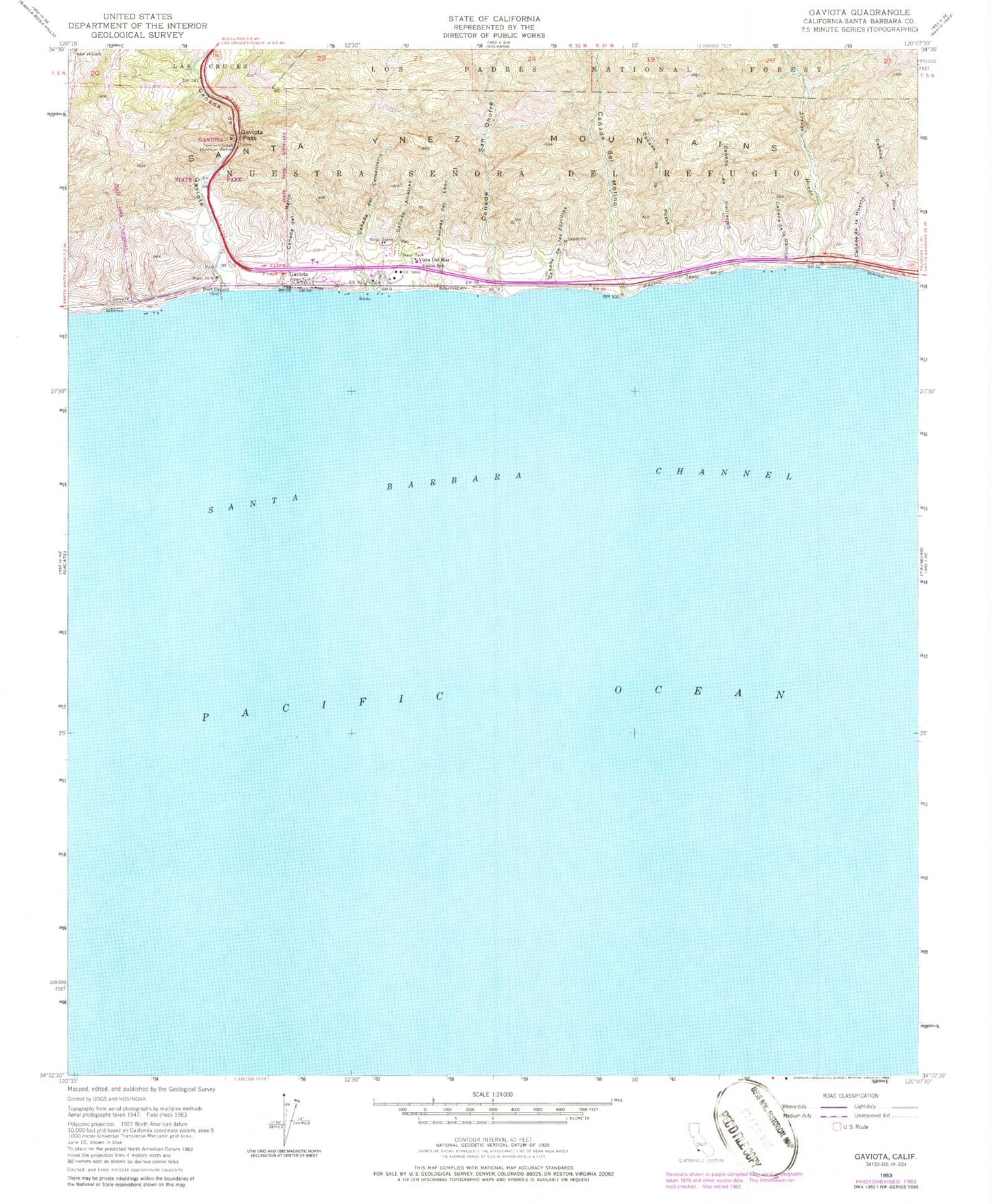
Classic USGS Gaviota California 7.5'x7.5' Topo Map
Couldn't load pickup availability
Historical USGS topographic quad map of Gaviota in the state of California. Map scale may vary for some years, but is generally around 1:24,000. Print size is approximately 24" x 27"
This quadrangle is in the following counties: Santa Barbara.
The map contains contour lines, roads, rivers, towns, and lakes. Printed on high-quality waterproof paper with UV fade-resistant inks, and shipped rolled.
Contains the following named places: Arroyo Hondo, Canada Alcatraz, Canada De Guillermo, Canada De La Gallina, Canada de la Gaviota, Canada De La Huerta, Canada de la Pila, Canada De La Posta, Canada De Las Zorrillas, Canada Del Barro, Canada del Cementerio, Canada Del Leon, Canada Del Molino, Canada San Onofre, Fremont Foxon Historical Marker, Gaviota, Gaviota Beach, Gaviota Pass, Gaviota Pier, Gaviota State Park, Lento, Nuestra Senora Del Refugio, Port Orford, Santa Barbara County Fire Department Station 18, Vista Del Mar Union School