MyTopo
Classic USGS Gay West Virginia 7.5'x7.5' Topo Map
Couldn't load pickup availability
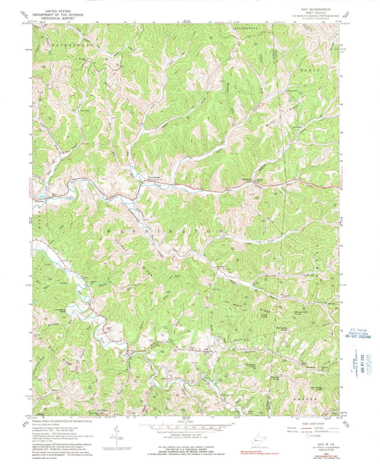
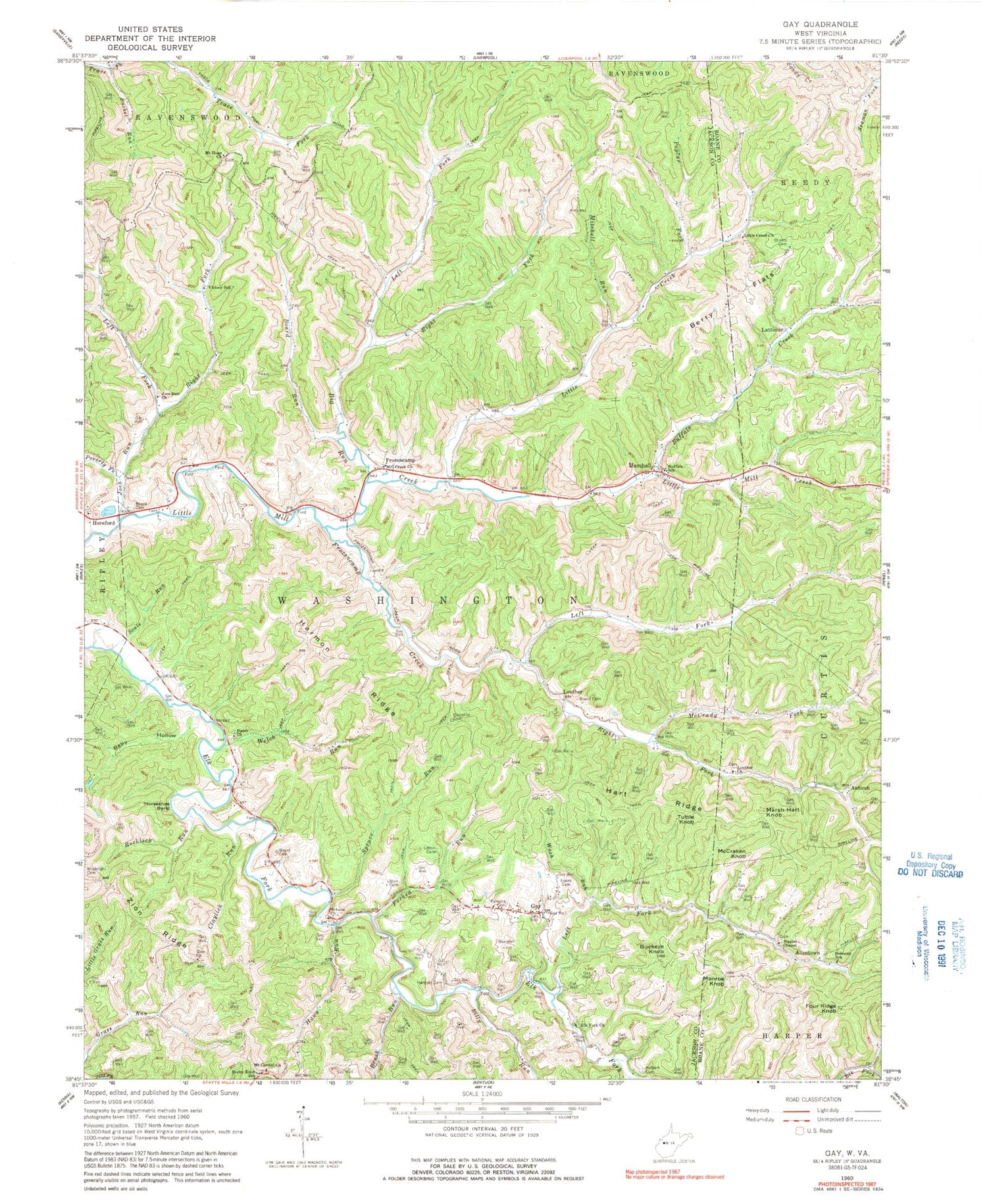
Historical USGS topographic quad map of Gay in the state of West Virginia. Map scale may vary for some years, but is generally around 1:24,000. Print size is approximately 24" x 27"
This quadrangle is in the following counties: Jackson, Roane.
The map contains contour lines, roads, rivers, towns, and lakes. Printed on high-quality waterproof paper with UV fade-resistant inks, and shipped rolled.
Contains the following named places: Allentown, Antioch, Baby Hollow, Baptist Grove Cemetery, Belmont School, Berry Flats, Big Run, Billy Run, Board Cemetery, Board Run, Briscoe Church, Brush Run, Bucket Run, Buckeye Knob, Buffalo, Buffalo Creek, Buffalo School, Camelite Cemetery, Claylick Run, Cottle School, Elk Fork Church, Evans Cemetery, Flint School, Forked Run, Four Ridge Knob, Frozen Camp Wildlife Management Area, Frozencamp, Frozencamp Creek, Gay, Gay Post Office, Harmon Ridge, Harmony Schoolhouse, Harpold Cemetery, Hart Ridge, Haws Run, Hereford, Holbert Cemetery, Horseshoe Bend, Jefferson School, Joes Run, Joes Run Church, Lattimer, Left Fork Big Run, Left Fork Elk Fork, Left Fork Frozencamp Creek, Left Fork Joes Run, Little Creek, Little Creek United Methodist Church, Litton Cemetery, Louther, Louther Church, Marsh Hart Knob, Marshall, McCrady Fork, McCraken Knob, Mill Creek Church, Mill Creek Structure Number Four Dam, Mitchell Run, Monroe Knob, Mount Carmel Church, Mount Hope Church, Mount Hope Church of God Cemetery, Napier Chapel, Parsons Cemetery, Poplar Fork, Poverty Fork, Rader Church, Raider School, Right Fork Big Run, Right Fork Frozencamp Creek, Right Fork Joes Run, Roane - Jackson Technical Center, Roane Jackson Technical Center, Rocklick Run, Rocky Knob School, Scale Run, Science School, Sheets Cemetery, Spruce Run, Stalmaker School, Sunny Point School, Tuttle Knob, Union School, Victory School, Wash Run, Waybright Cemetery, Welch Run, Willowdale School, Zion Church, ZIP Code: 25244


