MyTopo
Classic USGS Gearhart Oregon 7.5'x7.5' Topo Map
Couldn't load pickup availability
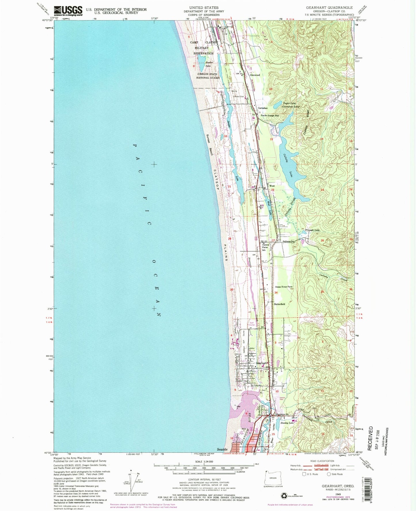
Historical USGS topographic quad map of Gearhart in the state of Oregon. Map scale may vary for some years, but is generally around 1:24,000. Print size is approximately 24" x 27"
This quadrangle is in the following counties: Clatsop.
The map contains contour lines, roads, rivers, towns, and lakes. Printed on high-quality waterproof paper with UV fade-resistant inks, and shipped rolled.
Contains the following named places: Abercrombie Creek, Allendale, Astoria Country Club, Bayview Transit Mix, Butterfield, Camp Clatsop Post Office, Camp Cullaby, Camp Rilea, Camp Rilea Sewage Treatment Plant, Carnahan, Carnahan County Park, Carnahan County Park Boat Ramp, City of Gearhart, Clatsop Plains, Clatsop Plains Cemetery, Clatsop Plains School, Clatsop Post Office, Clatsop Ridge, Cullaby Creek, Cullaby Lake, Cullaby Lake County Park, Cullaby Lake County Park Boat Ramp, Cullaby Slough, Del Rey Beach State Park, Dellmoor Station, First Church Of Christ Scientist, Gearhart, Gearhart City Hall, Gearhart City Police Department, Gearhart Elementary School, Gearhart Golf Course, Gearhart Municipal Court, Gearhart Post Office, Gearhart Publlic Works, Gearhart Volunteer Fire Department, Gearheart Ocean State Park, Glenwood, McGuire, Mill Creek, Neacoxie Creek, Neawanna Creek, Neawanna Station, Necanicum River, North Fork Abercrombie Creek, Ocean Home Farm, Pacific Grange Hall, Seaside High School, Seaside Municipal Airport, Seaside Sewage Treatment Plant, Shoreline Sanitary District Sewage Treatment Plant, Skookum Creek, Slusher Lake, Stanley Lake, Sunset Beach, Sunset Beach State Park, Sunset Lake, Sunset Lake Public Park, Sunset Lake Public Park Boat Ramp, Surf Pines, Taylor Lake, Thompson Creek, Triangle Lake, West, West Lake


