MyTopo
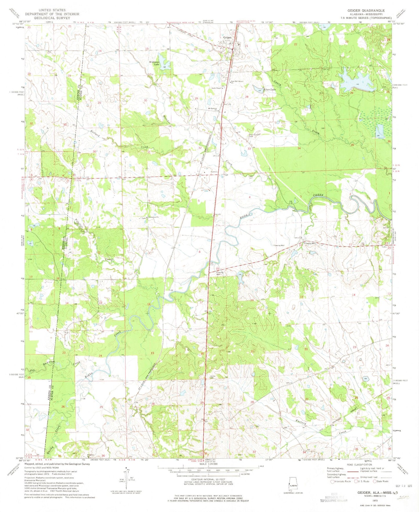
Classic USGS Geiger Alabama 7.5'x7.5' Topo Map
Couldn't load pickup availability
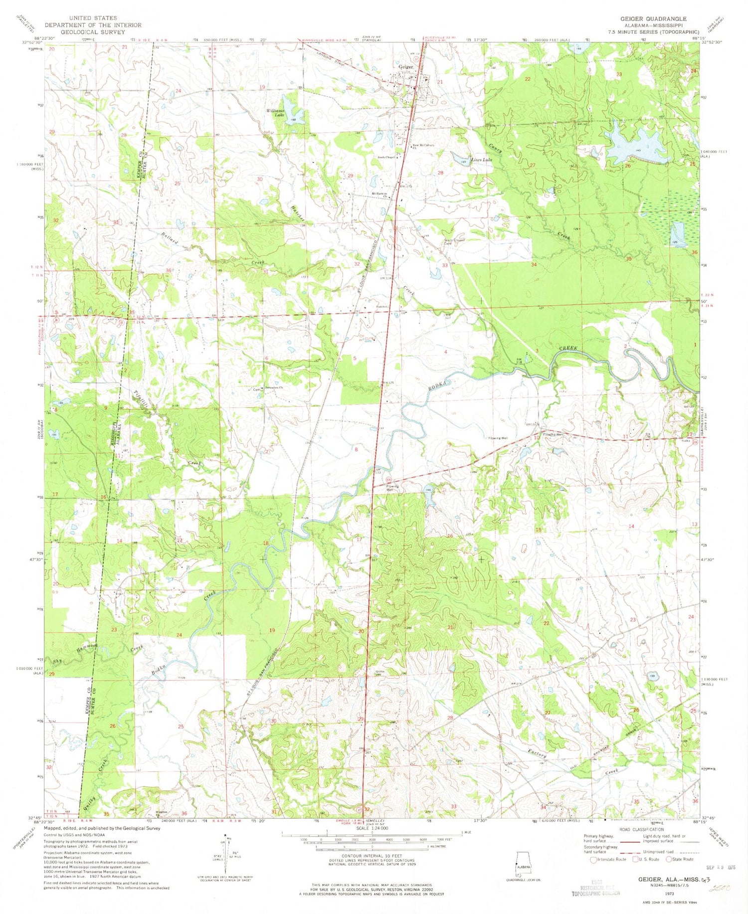
Historical USGS topographic quad map of Geiger in the states of Alabama, Mississippi. Map scale may vary for some years, but is generally around 1:24,000. Print size is approximately 24" x 27"
This quadrangle is in the following counties: Kemper, Sumter.
The map contains contour lines, roads, rivers, towns, and lakes. Printed on high-quality waterproof paper with UV fade-resistant inks, and shipped rolled.
Contains the following named places: Ballard Creek, Bodka, C E Boyd Dam, C E Boyd Pond, Dilliard Creek, E Q Lunsford Pond Dam, Emelle Treatment Facility, Geiger, Geiger United Methodist Church, Griffin, Hatchet Creek, Ivy, Jerusalem Baptist Church, Lacy, Lacys Ford, Liars Lake, Mary Winston Baptist Church, Mitchell School, Mount Calvary Church, Mount Harmon Church, Mount Hermel Church, Nelson Church, Nelson School, New Big Lake, New Mount Calvary Church, North Sumter Volunteer Fire Department, Norvelle, Quilby, Quilby Creek, Shy Hammock Creek, Souls Chapel Cemetery, Souls Chapel Methodist Church, Souls Chapel School, Sumter Farm and Stock Company Dam, Sumter Farms and Stock Company Inc Airport, Tifallili Creek, Town of Geiger, Williams Lake, Winston, ZIP Code: 35459


