MyTopo
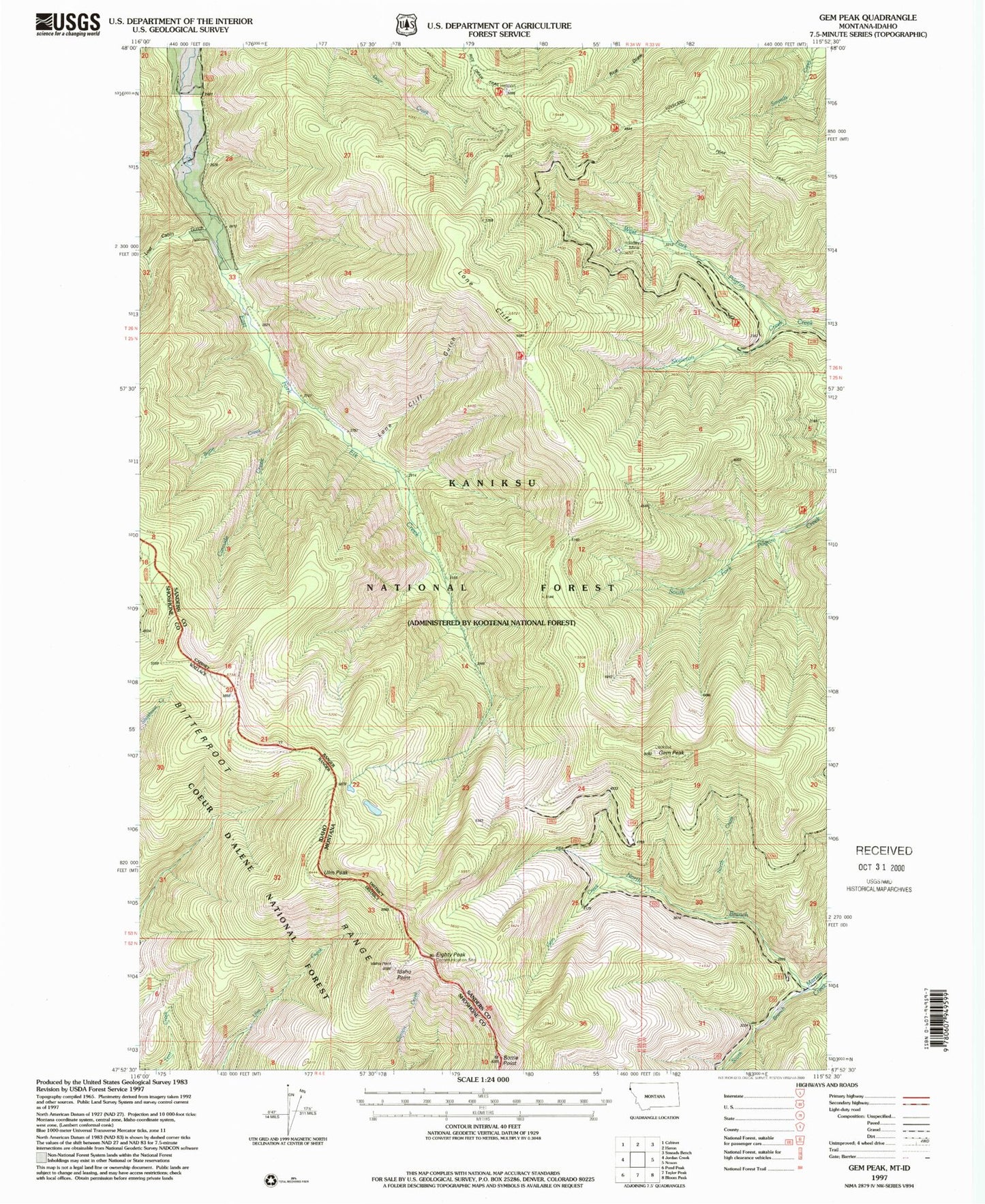
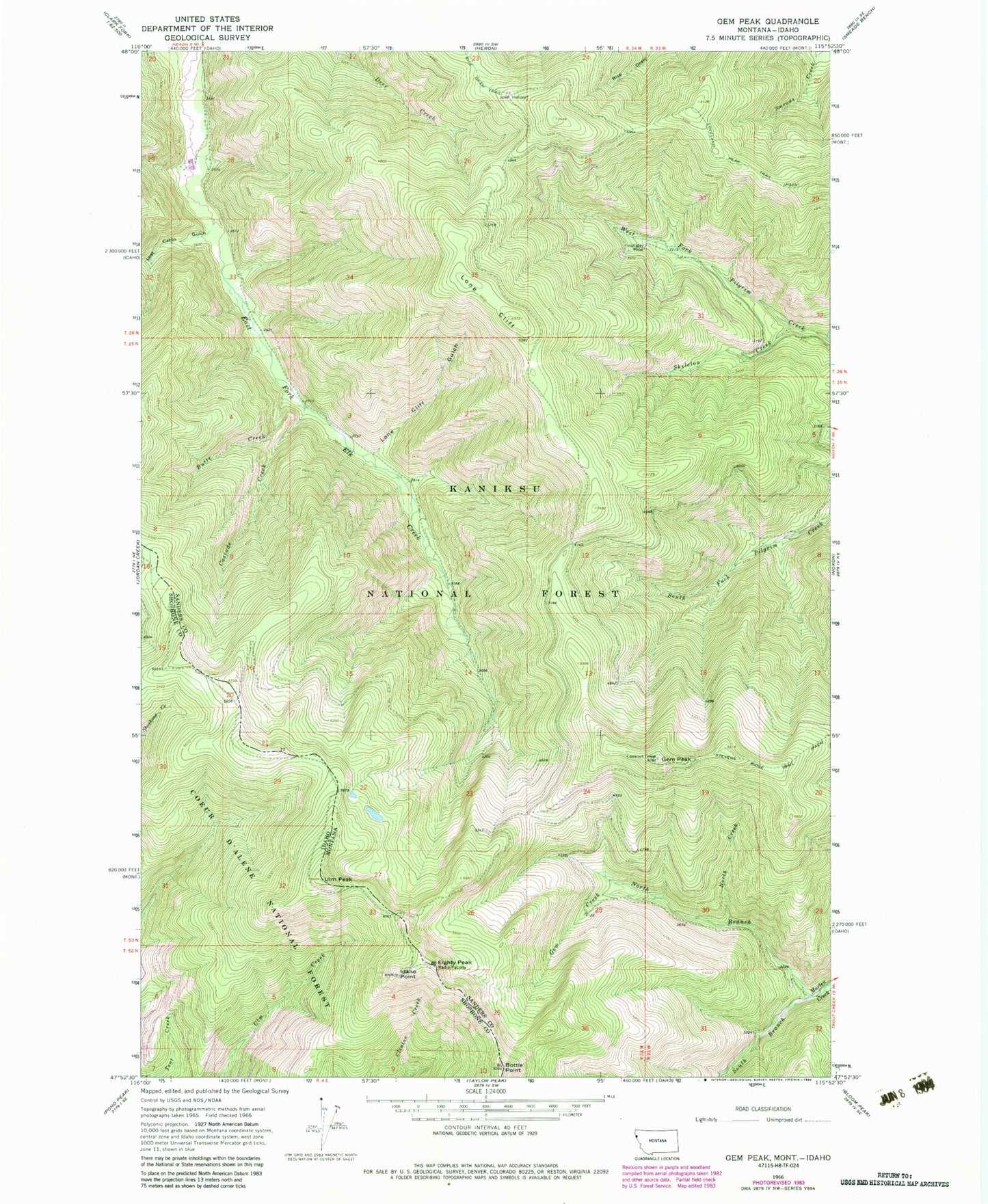
Classic USGS Gem Peak Montana 7.5'x7.5' Topo Map
Couldn't load pickup availability
Historical USGS topographic quad map of Gem Peak in the states of Montana, Idaho. Typical map scale is 1:24,000, but may vary for certain years, if available. Print size: 24" x 27"
This quadrangle is in the following counties: Sanders, Shoshone.
The map contains contour lines, roads, rivers, towns, and lakes. Printed on high-quality waterproof paper with UV fade-resistant inks, and shipped rolled.
Contains the following named places: Butte Creek, Cascade Creek, Gem Creek, Gem Peak, Holliday Mine, Lone Cliff, Lone Cliff Gulch, Lost Cabin Gulch, Loveland Peak Trail, North Branch Marten Creek, North Creek, Skeleton Creek, South Branch Marten Creek, State Line Trail, Gem Peak Lookout, Holliday Mine, 26N34W21CCBD01 Well, Kaniksu National Forest, Bottle Point, Eighty Peak, Idaho Point, Ulm Peak