MyTopo
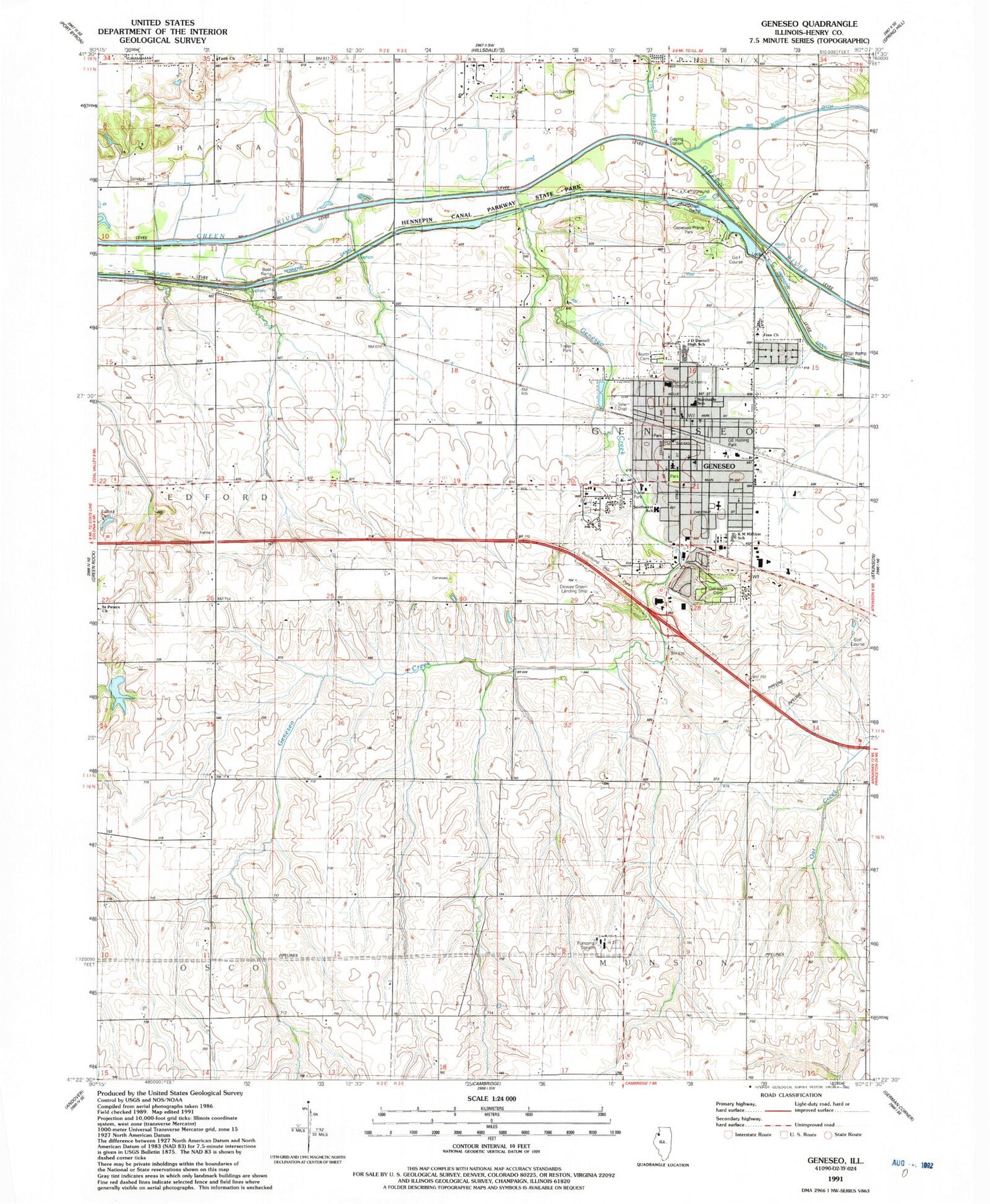
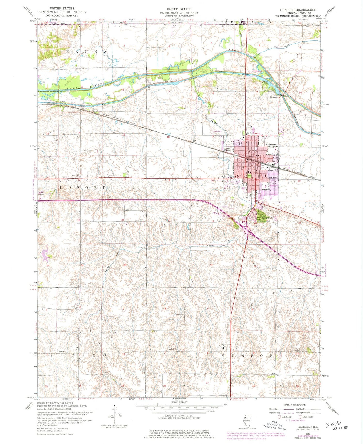
Classic USGS Geneseo Illinois 7.5'x7.5' Topo Map
Couldn't load pickup availability
Historical USGS topographic quad map of Geneseo in the state of Illinois. Map scale may vary for some years, but is generally around 1:24,000. Print size is approximately 24" x 27"
This quadrangle is in the following counties: Henry.
The map contains contour lines, roads, rivers, towns, and lakes. Printed on high-quality waterproof paper with UV fade-resistant inks, and shipped rolled.
Contains the following named places: Andrews School, Bernard School, Black Hawk Heliport, Bunker Hill School, Church of Christ, City of Geneseo, Concordia Evangelical Lutheran Church, Dewey E Greene Airport, Duff School, Edford Cemetery, Elks Branch, Faith Church, First Baptist Church, First Congregational Church, First Lutheran Church, First Presbyterian Church, First United Methodist Church, G E Holting Park, Geneseo, Geneseo Community Center, Geneseo Creek, Geneseo Evangelical Free Church, Geneseo Fire Protection District, Geneseo Junior High School, Geneseo Police Department, Geneseo Post Office, Geneseo Prairie Park, Gilbert School, Good Samaritan Center, Grace United Methodist Church, Hammond Henry Hospital, Hart School, Hennepin Canal, J D Darnell High School, Kingdom Hall of Jehovahs Witnesses, Liken School, Lock Number 24, Lock Number 25, Millikin Elementary School, Muzzy Chapel, North Cemetery, Northside Elementary School, Oakwood Cemetery, Praise Assembly of God Church, Saint Malachys Roman Catholic Church, Saint Peters Church, Southwest Elementary School, Station Number 10, Stowe School, Swint Lake, Swint Lake Dam, Township of Geneseo, Trinity Episcopal Church, WGEN-AM (Geneseo), Wildermuth School, Wolf School, ZIP Code: 61254


