MyTopo
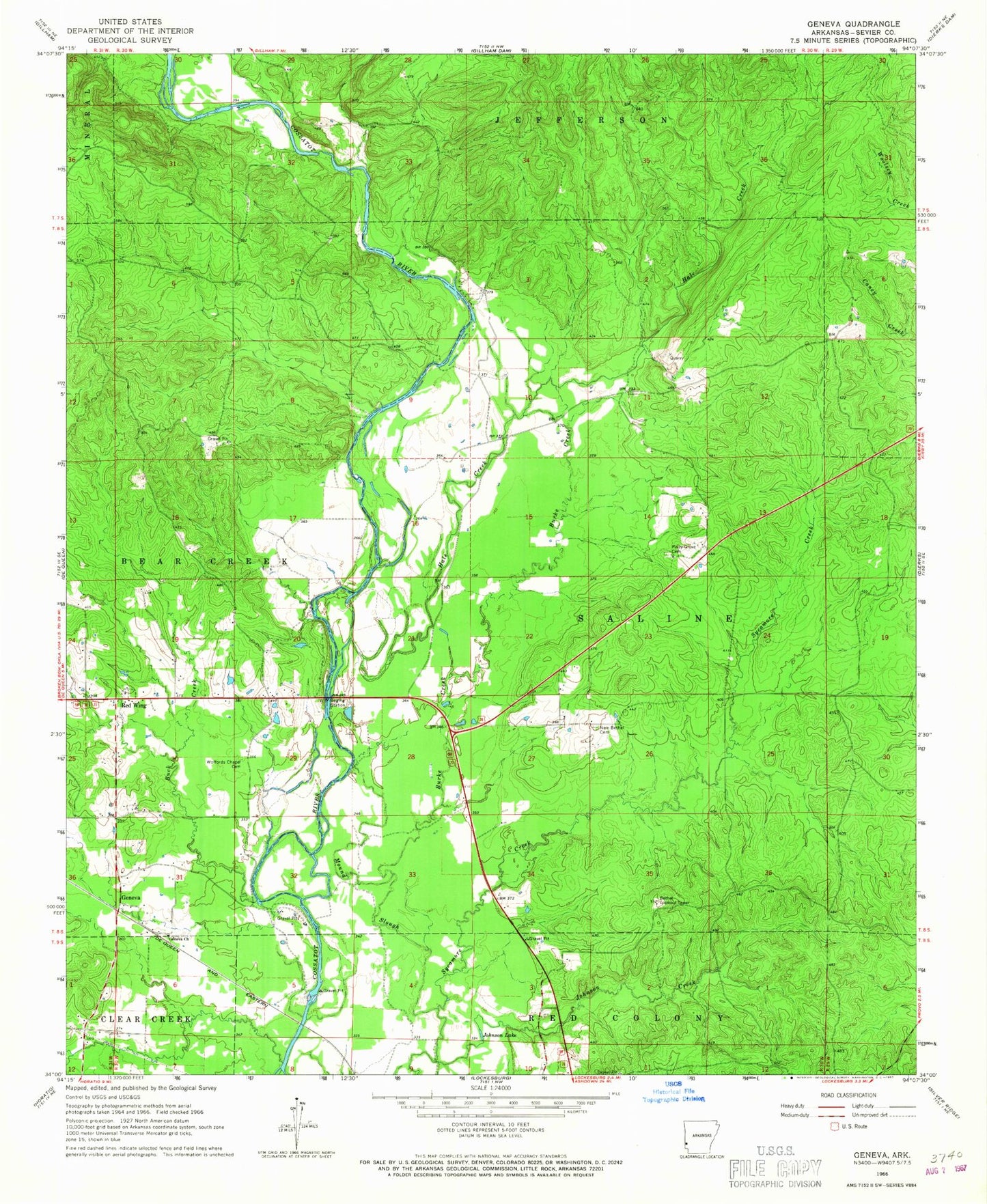
Classic USGS Geneva Arkansas 7.5'x7.5' Topo Map
Couldn't load pickup availability
Historical USGS topographic quad map of Geneva in the state of Arkansas. Map scale may vary for some years, but is generally around 1:24,000. Print size is approximately 24" x 27"
This quadrangle is in the following counties: Sevier.
The map contains contour lines, roads, rivers, towns, and lakes. Printed on high-quality waterproof paper with UV fade-resistant inks, and shipped rolled.
Contains the following named places: Battle Ford, Bethel Lookout Tower, Buck Creek, Burke Creek, Cossatot Fire Station, Geneva, Geneva Missionary Baptist Church, Hale Creek, Holly Grove School, Johnson Creek, Johnson Lake, King School, Maddux School, McKinney Ford, Moody Shoal Ford, Mound Slough, Nettle Hill School, New Bethel Cemetery, Piney Grove Cemetery, Piney Grove Methodist Church, Red Hill, Red Wing, Rolling Shoal Ford, Sardis School, Steel Ford, Township of Red Colony, Township of Saline, Wallace Hill School, Woffords Chapel Cemetery, Woofords Chapel