MyTopo
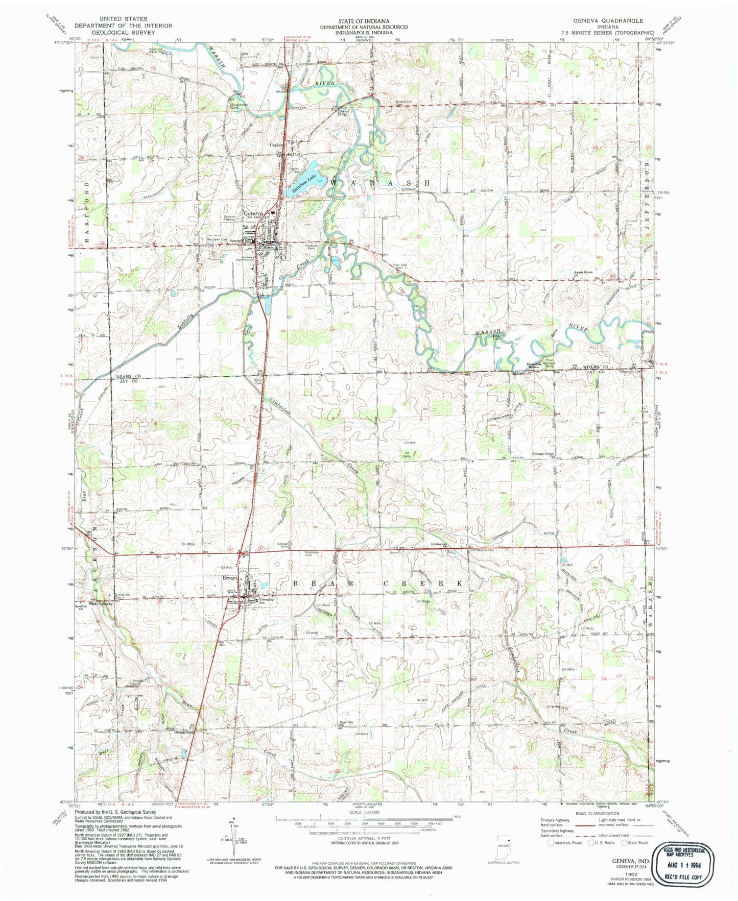
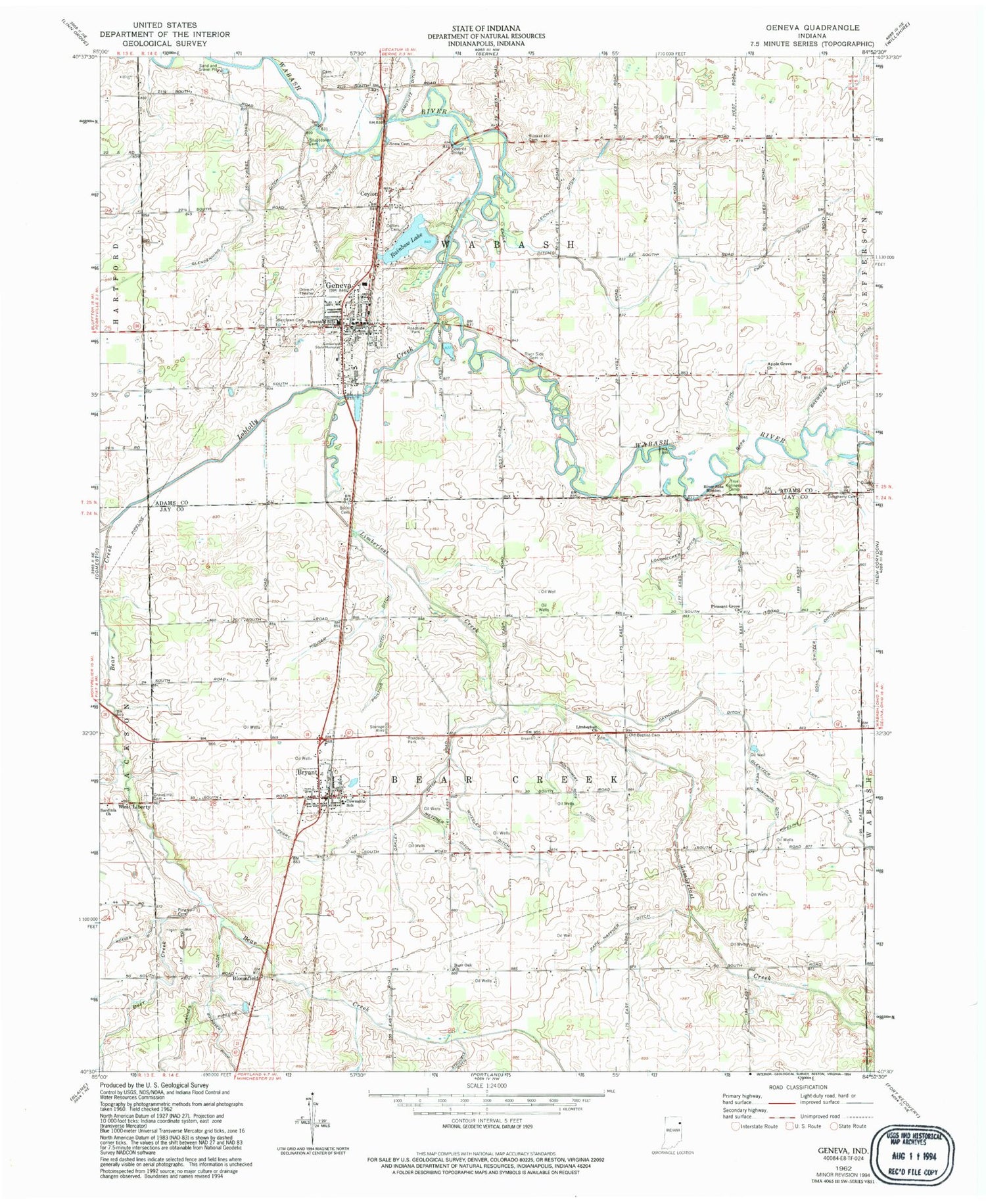
Classic USGS Geneva Indiana 7.5'x7.5' Topo Map
Couldn't load pickup availability
Historical USGS topographic quad map of Geneva in the state of Indiana. Map scale may vary for some years, but is generally around 1:24,000. Print size is approximately 24" x 27"
This quadrangle is in the following counties: Adams, Jay.
The map contains contour lines, roads, rivers, towns, and lakes. Printed on high-quality waterproof paper with UV fade-resistant inks, and shipped rolled.
Contains the following named places: Apple Grove Church, Aspy Ditch, Barr Ditch, Bear Creek, Bearcreek Township School, Bloomfield, Bloomfield Elementary School, Brewster Ditch, Bryant, Bryant Community Building, Bryant Post Office, Bryant Volunteer Fire Department, Bunker Hill Cemetery, Burr Oak Church, Burris Cemetery, Ceylon, Collins Cemetery, Daugherty Cemetery, Davidson Ditch, Deer Creek, Engle Ditch, Geneva, Geneva Elementary School, Geneva Police Department, Geneva Post Office, Geneva Volunteer Fire Department, Glentzer Perry Ditch, Goss Switzer Ditch, Gravel Hill Cemetery, Houser Ditch, Karch Stone Quarry, Leichty Ditch, Limberlost Church, Limberlost Creek, Limberlost State Game Reserve, Limberlost State Memorial, Loblolly Creek, Longnecker Ditch, Metzner Ditch, Montgomery Ross Ditch, Oakley Ditch, Old Baptist Cemetery, Pape Haffner Ditch, Perry Ditch, Pingry Cemetery, Pleasant Grove Church, Pontius Ditch, Pound Cemetery, Rainbow Lake, Rainbow Lake Dam, River Side Mission, Sardinia Church, Snow Cemetery, Stroube Ditch, Studebaker Cemetery, Toland Farms, Town of Bryant, Town of Geneva, Township of Bearcreek, Township of Wabash, Tri Run, West Liberty, West Mortimore Ditch, Westlawn Cemetery, Wheeler Ditch, ZIP Codes: 46740, 47326


