MyTopo
Classic USGS Genoa City Wisconsin 7.5'x7.5' Topo Map
Couldn't load pickup availability
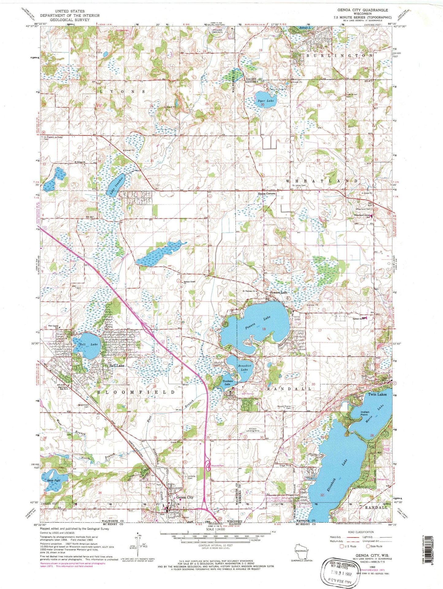
Historical USGS topographic quad map of Genoa City in the state of Wisconsin. Map scale may vary for some years, but is generally around 1:24,000. Print size is approximately 24" x 27"
This quadrangle is in the following counties: Kenosha, Racine, Walworth.
The map contains contour lines, roads, rivers, towns, and lakes. Printed on high-quality waterproof paper with UV fade-resistant inks, and shipped rolled.
Contains the following named places: Benedict Lake, Berean Grace Church, Bloomfield - Genoa City Fire and Rescue, Bloomfield Cemetery, Bloomfield Police Department, Bohners Lake, Bohners Lake Census Designated Place, Brookwood Middle School, Camp Oh-da-ko-ta, Cottage School, Dyer Lake, East Branch North Branch Nippersink Creek, Elizabeth Lake, Evergreen Farm, Free Will Baptist Cemetery, Genoa City Police Department, Goose Pond, Hackmatack National Wildlife Refuge, High Street Cemetery, Hillside Cemetery, Indian Point, Karcher Springs State Natural Area, Lake Geneva Aire Estates Airport, Lake Ivanhoe, Lake Ivanhoe Census Designated Place, Lake Mary, Lake View Farm, Lake View Hill Farm, Locust Grove Farm, Mound Prairie Cemetery, Mount Moriah, North Bloomfield, Pell Lake, Pell Lake Census Designated Place, Pell Lake Post Office, Powers Lake, Powers Lake Census Designated Place, Powers Lake Post Office, Prairie Farm, Randall Consolidated School, Randall Fire Department Station 1, Saint Johns Lutheran Cemetery, Saint Johns Lutheran Church, Saint Kilian Catholic Cemetery, Saint Kilian Church, Saint Theresa Church, Silver Springs Farm, Slades Corners, Star Center Elementary School, Star Center School Number 4, Tombeau Lake, Twin Lakes Police Department, Twin Lakes Post Office, Twin Lakes Volunteer Fire Department and Rescue Squad, Val Sauer H 820 Dam, Village of Bloomfield, Village of Genoa City, Vincent Airport, West Branch North Branch Nippersink Creek, Wheatland Cemetery, Wheatland Center School, ZIP Code: 53128


